
I leave the deserts of the southwest and enter the mountains of Colorado.
Before the Ride
I woke before my 9am alarm. It was set this late because I’d been feeling a minor headache yesterday afternoon and I wanted to be sure I got a good night’s rest. I slept fine, but the distant feeling of a headache was still there. It could be a sinus headache, or it could be a slight migraine. One of my migraine triggers is dehydration, and there’s been plenty opportunity for that the last few days. In any case, it wasn’t strong enough to take anything yet. I showered, packed, and got down the road before 10am. The ride to Gunnison, Colorado was estimated to be about eight hours; I’d still be before dinner establishments close for the evening.
The Ride
Leaving Chinle I got stuck for 10 minutes waiting for a construction zone. The road there was five lanes (two each way with a center turn lane), and there was a tractor trailer a few cars ahead of me. So I pulled into the center lane, drove into the shade cast by the tractor trailer, and waited there. Nobody seemed to mind.
The desert north of Chinle is to the far, far southeast of the region commonly known as monument valley. The rock formation density here is very low, but one or two did pop up.
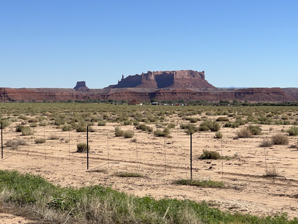
I was able to continue north at a good pace. The never ending mesa edges in the distance sported many interesting rock formations. I didn’t take much imagination to picture the entire area under an inland see with the mesas popping out of the water as an archipelago. The water wearing on these rock faces did most of the work to form the strange formations we see today.
The tanker truck that was behind me back in the Chinle construction zone was slowly catching up with me. That meant he was averaging more than 75mph. He was carrying propane. Was he late for a delivery? Was every passing minute a chunk of dollars coming out of his paycheck? I don’t know, but he drove like the devil himself was after him.
After passing through little towns like Many Farms, Round Rock, and Rock Point, I eventually reached the intersection with US160; I turned east.
On US160 the traffic density got a lot higher. The terrain was still wide open, so it was easy to pass; you just had to do that much more often. It didn’t seem to be bothering the tanker truck driver, who was managing to keep pace, even as the land started to roll more. He had to pull off at the junction at Teec Nos Pos (not a typo, it’s Navaho) for a weigh station. I turned left to follow US160.
Just a few miles north of the Teec Nos Pos junction is a manufactured anomaly of map making called Four Corners. It’s where the corners of Colorado, New Mexico, Arizona, and Utah all meet. It’s just a couple hundred yards/meters off US160; you can see it clearly from the highway. Naturally, you have to pay to visit, after which you, too, can stand and the junction in your best Twister pose with an appendage in each of the four states. I skipped it.
From a US160 point of view, the Four Corners region means that you cross from Arizona into New Mexico for less than a mile before you subsequently cross into Colorado.
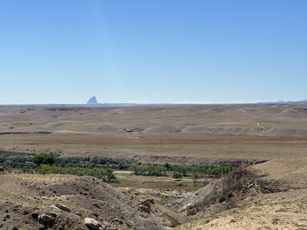
Climbing a rise just past the Colorado border, I could see another Four Corners area landmark way off to the southeast: Ship Rock. I once saw the silhouette of Ship Rock emerge from a nighttime thunderstorm and it was creepy as hell. This view was more of a tall sailing ship on an ocean horizon.
I rode up to Cortez, where I stopped for further hydration and something cool. I’d been drinking from my Camelback regularly, but my headache wasn’t going away. The good news was that it wasn’t really getting worse, not yet at least. Either way, some cold Vitamin Water isn’t going to hurt anything.
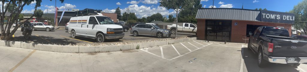
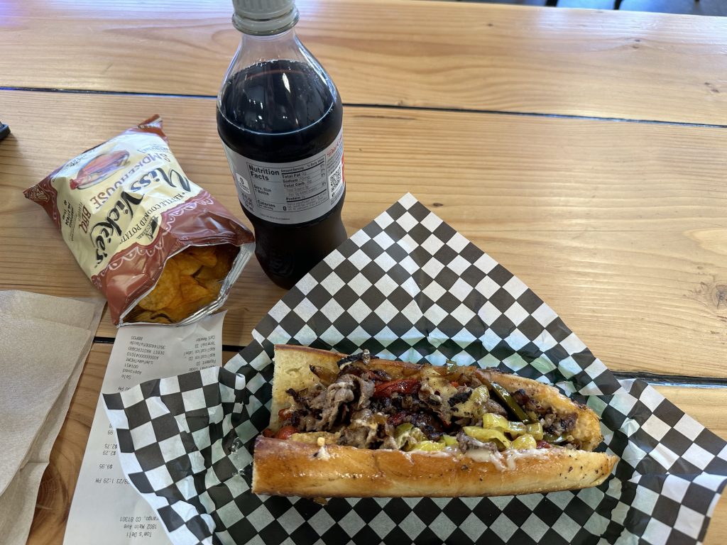
Leaving Cortez, I turned east to Mancos and on to Durango. During this stretch, the desert was left behind for good and now there were just endless forested hills and distant mountains. I topped off with gas and found a little deli, Tom’s Deli, for lunch. Tom’s had a nice little parking lot, but with no shade. I noted the shady spot in the Wendy’s next door and used that instead. Creative parking techniques at work.
I ordered a hot sandwich called The Middlecut. It was quite tasty, largely because the hoagie roll it was served on was fantastic.
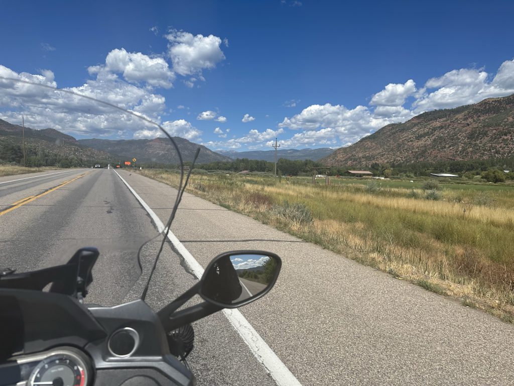
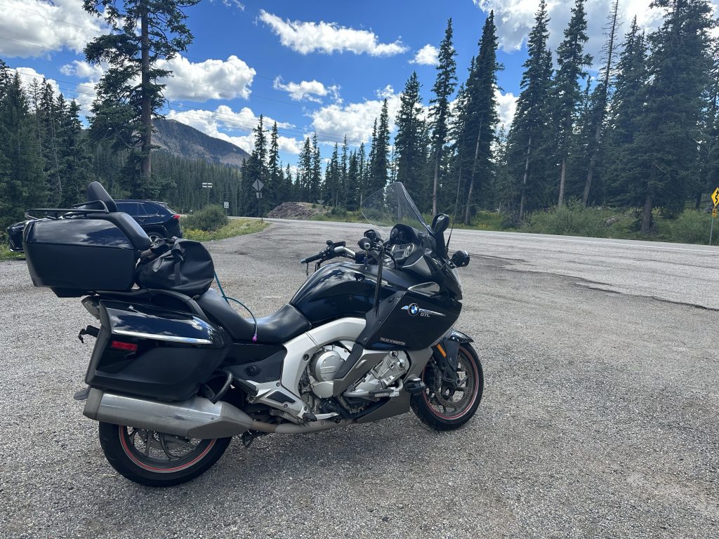
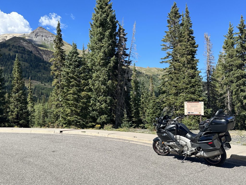
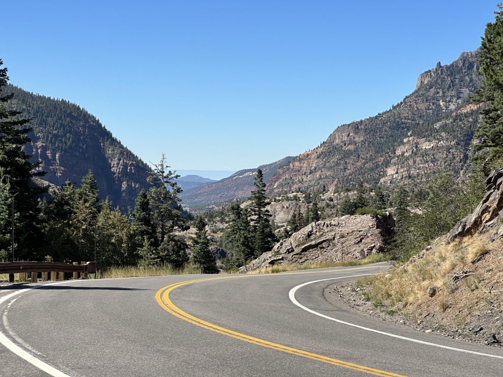
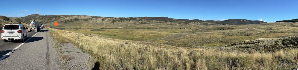
Leaving Durango north on US550 (the Million Dollar Highway), you start of a wide mountain valley that gets progressively tighter. I snapped a couple of photos from the Nightowl.
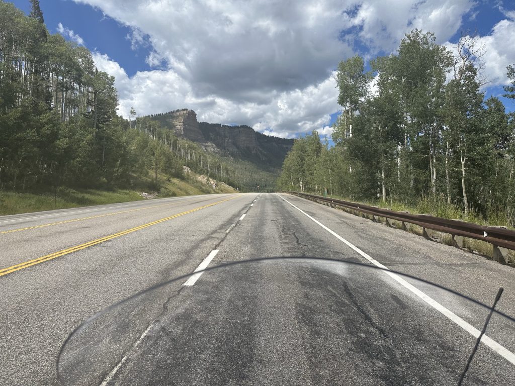
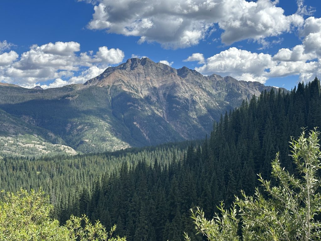
After some spirited mountain climbing, I stopped for a few photos near the first pass: Coal Bank Pass.
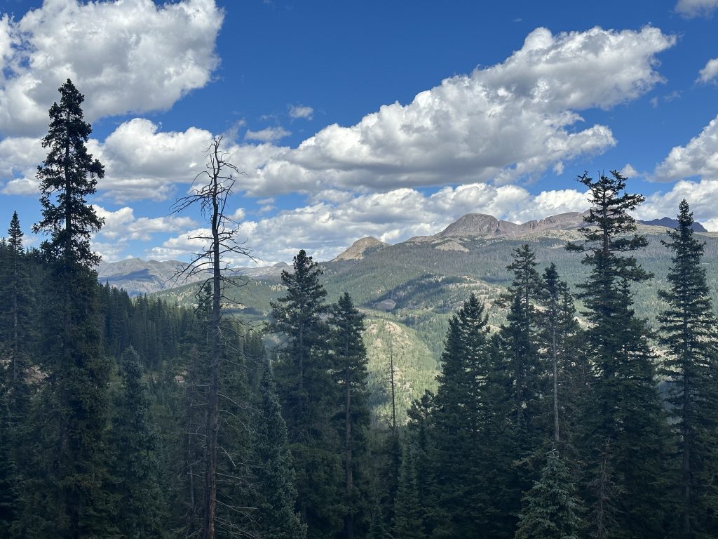
Further on, I snapped a few more photos of the lovely scenery.
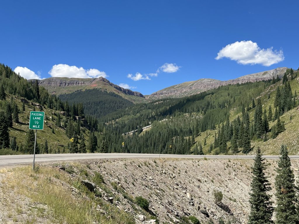
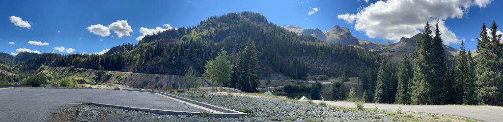
A little more spirited riding and I arrived at Molas Pass (over 10,000 ft!). There was a parking area there with a good vantage point, which meant more photos.
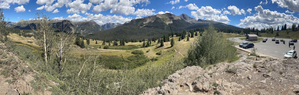
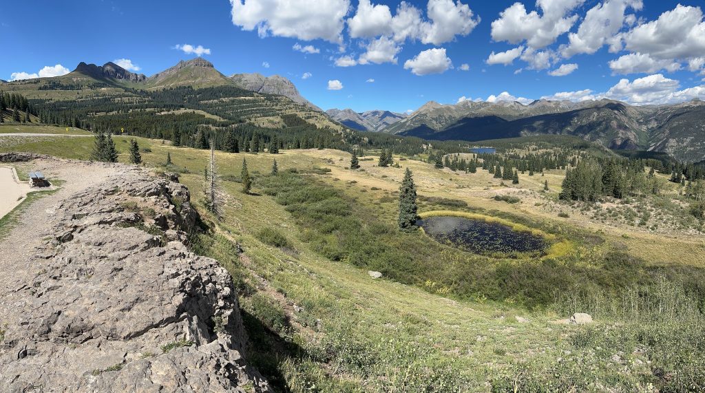
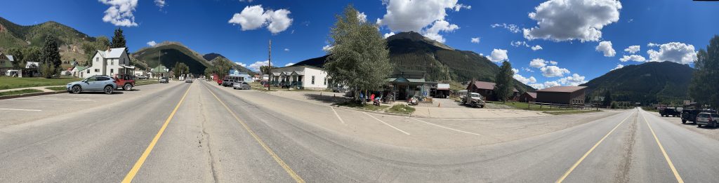
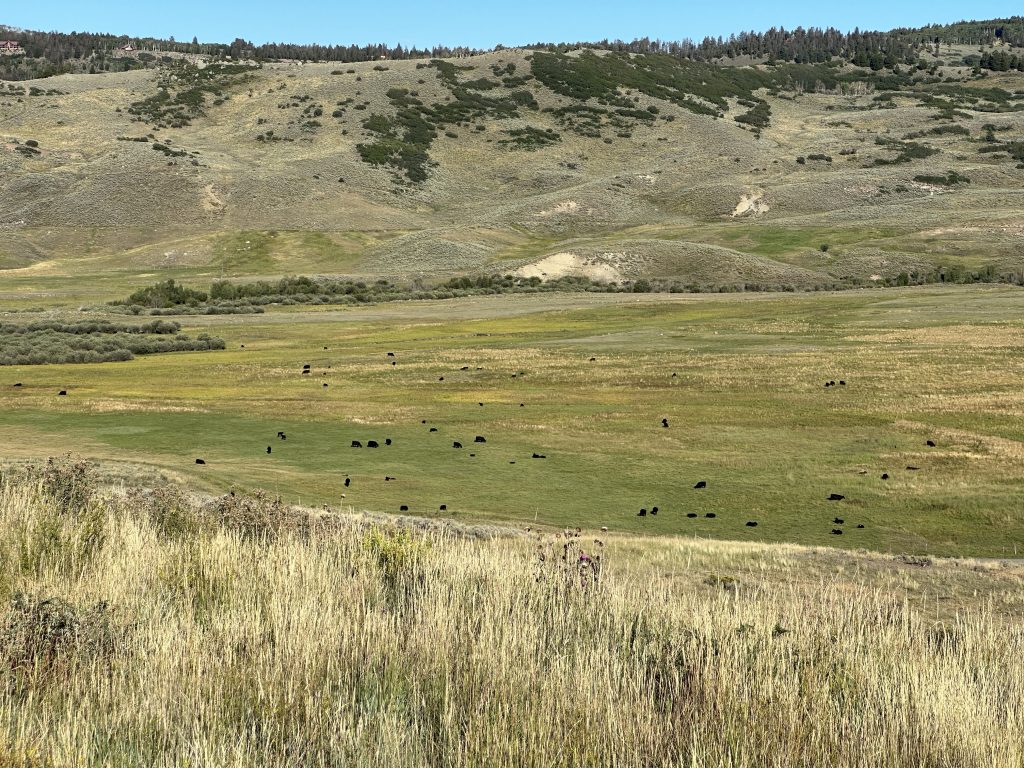
A few more miles and I was coming down into a mountain basin. Nestled in the middle of that basin was the mining town of Silverton, Colorado.
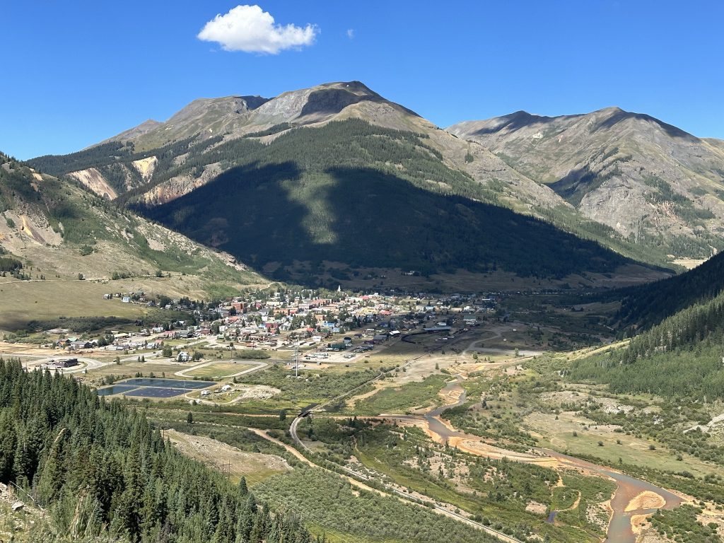
I usually bypass Silverton, but today was such a gorgeous day, I just had to capture a wide view of the mountains surrounding Silverton.
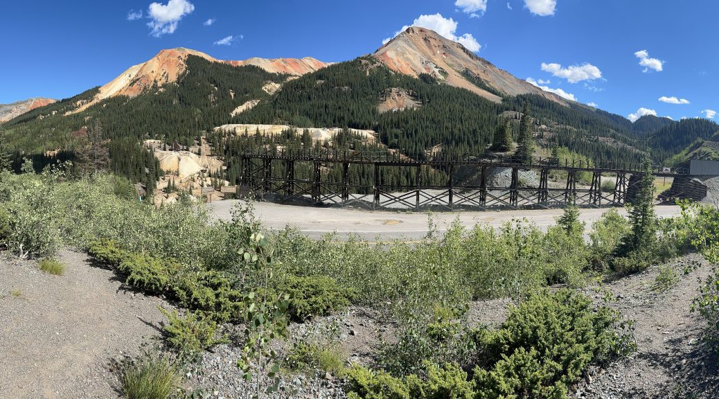
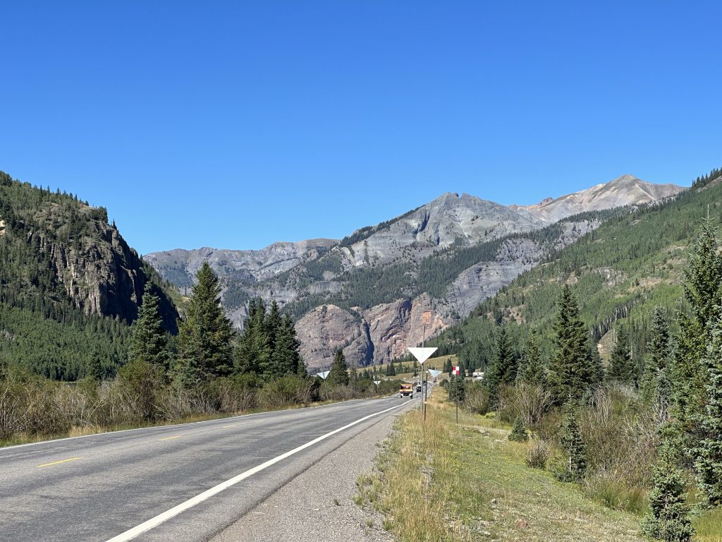
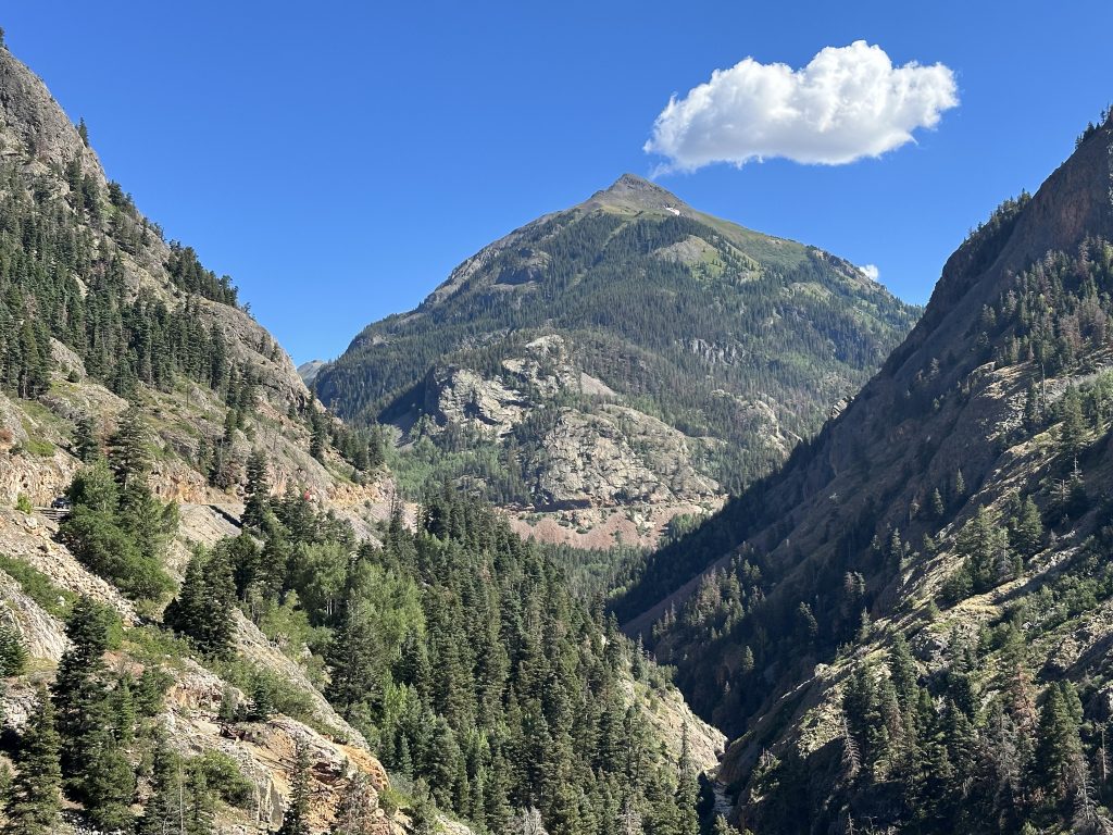
North of Silverton is a series of (seemingly) never ending switchbacks. If you’re too preoccupied with enjoying them, you’ll miss the Red Mountain overlook parking area, where you could take photos like the following:
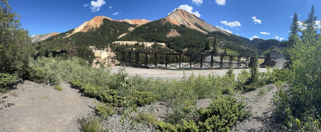
Riding down from Red Mountain, you get close to the gnarliest portion of the Million Dollar Highway: Uncompahgre Gorge. Most of this stretch features a cliff going up on one shoulder, another cliff going down on the other shoulder, and no room for guardrails. It’s still a fun ride, if you can ignore just how far you’ll fall if you misjudge a curve.
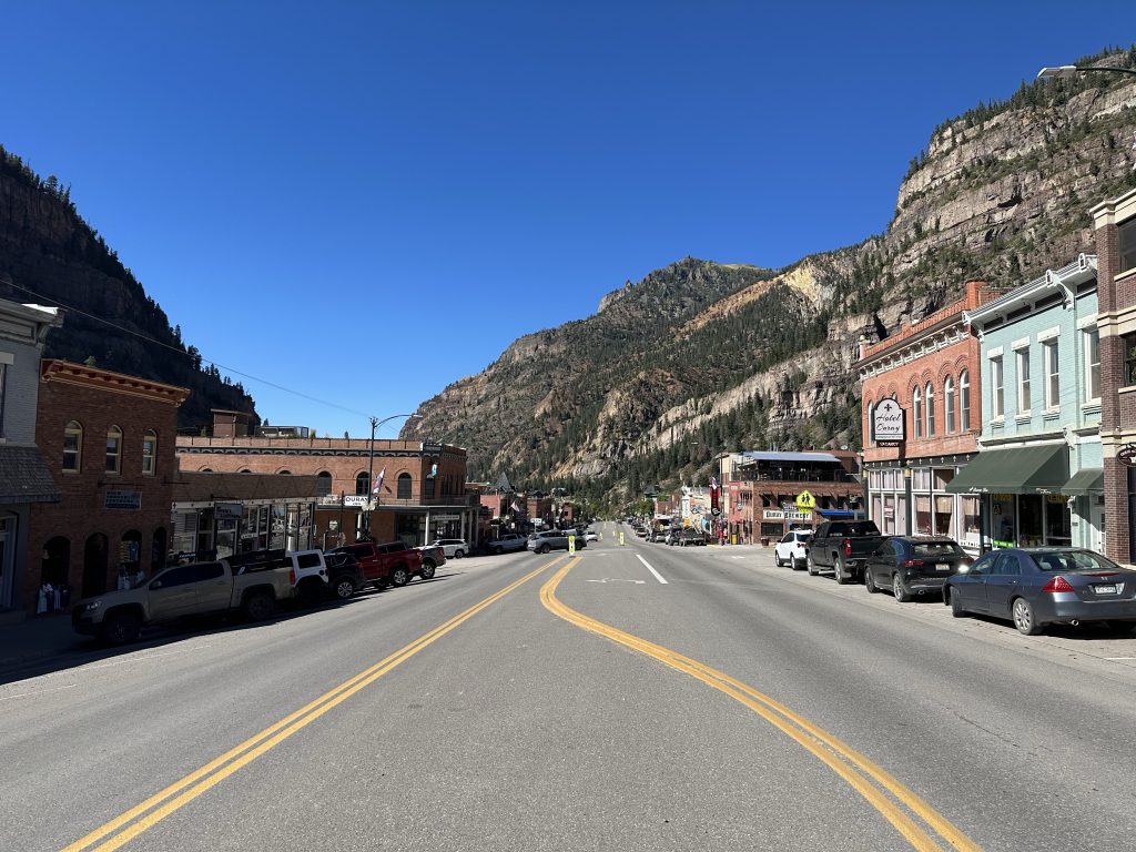
After braving the Uncompahgre Gorge, US550 winds down a few more switchbacks directly into the pretty little town of Ouray, Colorado. The townspeople have done an excellent job in preserving much of the original downtown architecture from the mining boom days. Now it’s all restaurants and brewpubs, but that’s not exactly a bad thing.
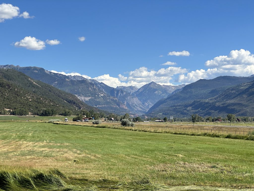
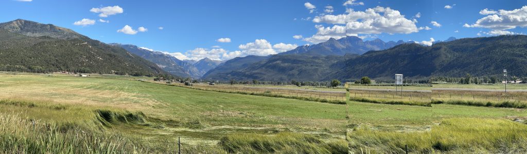
Down the mountain range another 10 miles or so and I arrived in Ridgway, Colorado. Ridgway is just outside the meat of the mountains, but has an excellent view of them. Case in point:
Riding further north, the terrain levels out a bit and I made better time riding to Montrose. Here I turned east on one of my all time favorite roads: US50. I must confess that I have several stretches of US50 that I’m fond of. I rode one of them in West Virginia on the second day of this trip. The ride today was (part of) another: Montrose to Salida in Colorado. Today I’d only be going as far as Gunnison; I’ll ride the rest of that stretch tomorrow.
Back in 2019 when I rode to the PITS gathering with a few accompanying Netscum, we rode this stretch of US50 in the other direction and had to wait for a long construction zone. Surely that construction is long since completed and the road is now pristine and ready to be attacked. Right?
Not a chance.
The portion of US50 that is torn up is a little further west than what we encountered back in 2019, but it’s still under construction.
In any case, I totally enjoyed the ride eastward by Cimarron and towards the Blue Mesa Reservoir. As expected, that ride came to a screeching halt (not really screeching; I saw it coming) near the Blue Creek Canyon region. I parked behind about a quarter-mile of vehicles, took off my jacket and helmet and walked around a bit. I didn’t have any shade here, but it was’t overly hot and a breeze helped. At least the view was pretty good.
As it turned out, my timing wasn’t too bad. Far down in the valley, the flow of oncoming traffic started to crawl by in only a few minutes. Once they were done, another 10 minutes or so, we were off.
There were a few stretches of gravel and dirt, but nothing that required an adventure Bike. After about five miles of single-file highway carnage, I was passed it.
Of course, now I’m stuck in a long line of cars strung out over an entire mile of highway. Luckily, the pace wasn’t too bad… and I only had about 15 miles to get to my destination. I settled in to trail horse mode and followed everybody to Gunnison.
After the Ride
Checking in to my hotel was interesting. I’d booked a nicer hotel for tonight because I had enough to book with points instead of dollars. At the front desk, I was greeted by a East Indian girl of, perhaps, 14 years old. She was being led through the process over a FaceTime call with a grown up at some remote location. She wasn’t quite sure how to handle my reservation and would hold the phone up to the screen so the grown up could see it. The delay was only slight and everything was processed correctly, so no big deal. I ended up in a fairly cushy room with both a shower and a jetted tub. As a further bonus, their WiFi was amazingly fast; I was able to upload today’s photos in one try!
After unpacking, I sat down and checked out dinner options. There were several back a few blocks on the main drag, so I grabbed a few things and walked in that general direction. The first option I encountered was High Alpine Brewing Company. Though I wasn’t interested in alcohol when I already had a minor headache, they did serve food.
I got a 11-inch pizza with BBQ sauce, grilled chicken, spicy bacon, and some veggies. It was quite tasty, but I couldn’t finish it.
As a bonus, the WiFi at High Alpine was pretty good. I was able to write descriptions for most of today’s photos before my pizza arrived.
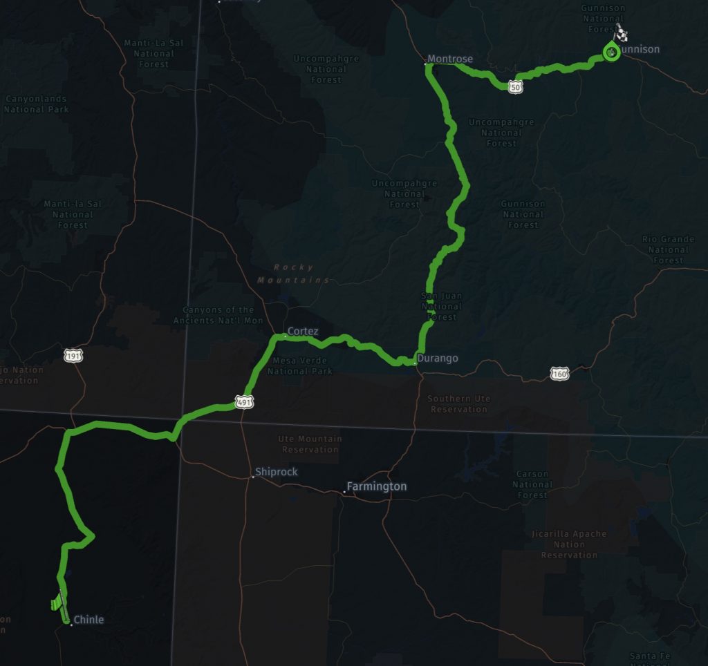
Map
Here is a thumbnail of today’s route. Click on the image for an interactive page with additional metadata.
Tomorrow
I’ll head east over Monarch Pass, pay a visit to Pike’s Peak, and then start the long Slab dash for home.