
Today we ride the Irish Loop, which traverses the coastline of the Avalon Peninsula in southeastern Newfoundland.
Pre Ride
After the previous day’s overabundance of food, there was no need to run downstairs for the hotel breakfast. The only gotcha was that it was raining in the morning and, if we were patient, it should move off to the east and leave us with a nice day.
The day’s route was only ~225 miles long and looped us back to our room in St. John’s for the night. Even at a slower pace, it should only take about 6-7 hours, so we could wait a bit and still get back into St. John’s before dusk.
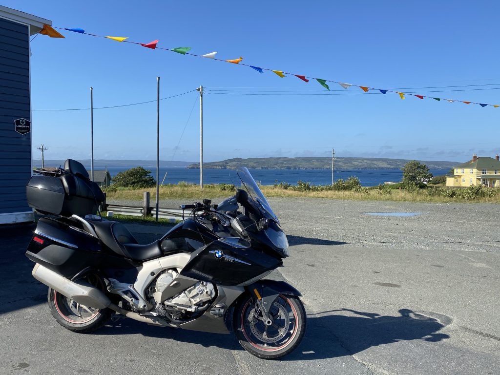
The rain stopped at about 9:30am and we headed out at 10:36am.
The Ride
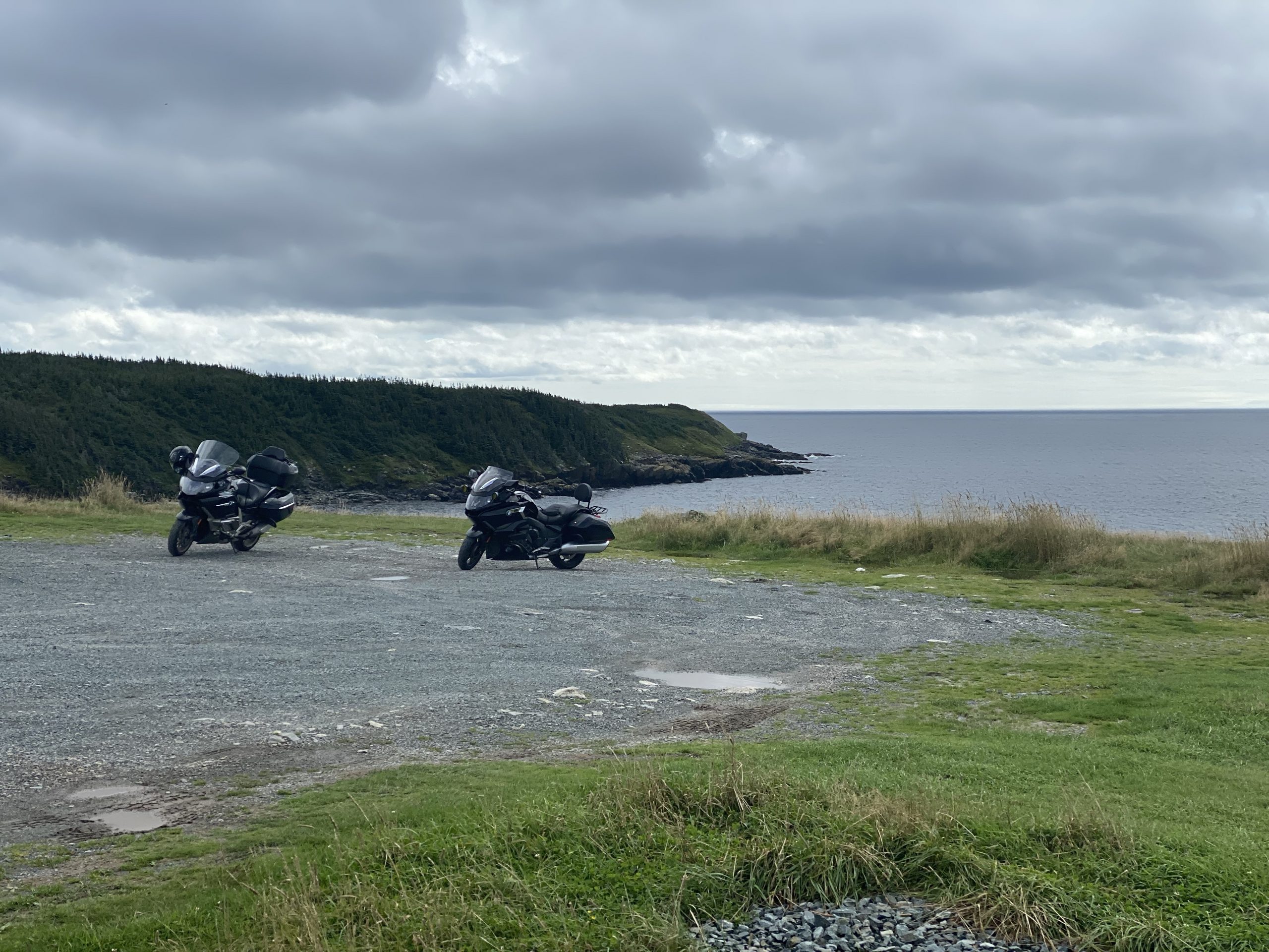
By the time we started, there was patches of sunshine between the clouds and the day was warm and humid. It didn’t take long to get out of St. John’s and start down the coast.
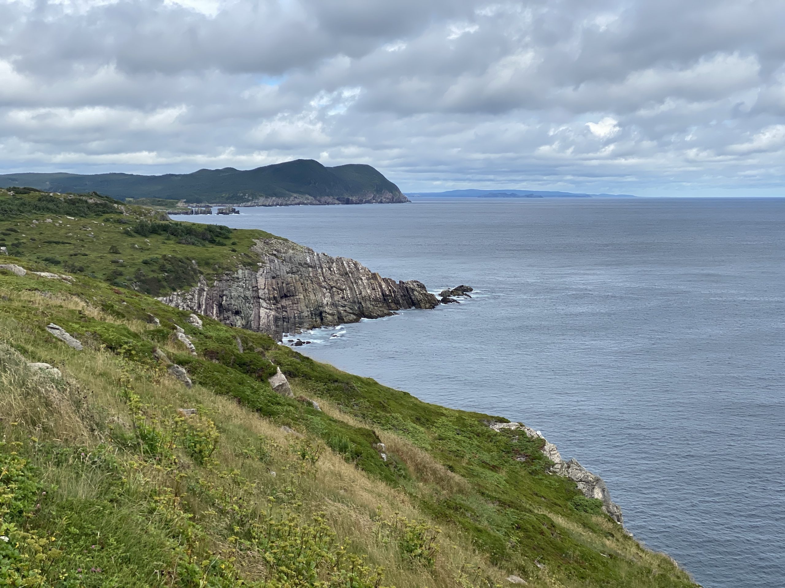
The Avalon Peninsula stretches south from St. John’s to Cape Race. The group of roads that follows the coast of the peninsula is called the Irish Loop.
We first saw the coastline at Bay Bulls and stopped for gas soon thereafter. This gas station seemed more like Grand Central Station, with too many vehicles jockeying for position to reach the eight gas pumps, while other cars were trying to get in/out of the convenience store… while still other cars were trying to get through the drive-through lane for the attached Tim Horton’s franchise.
By the end of the day, we would come to understand why these (few and far between) gas station/convenience stores are veritable social hubs for their surrounding communities.
We somehow managed to get gas. Just to be obnoxious bikers, we departed via the entrance for the Timmies drive-through.
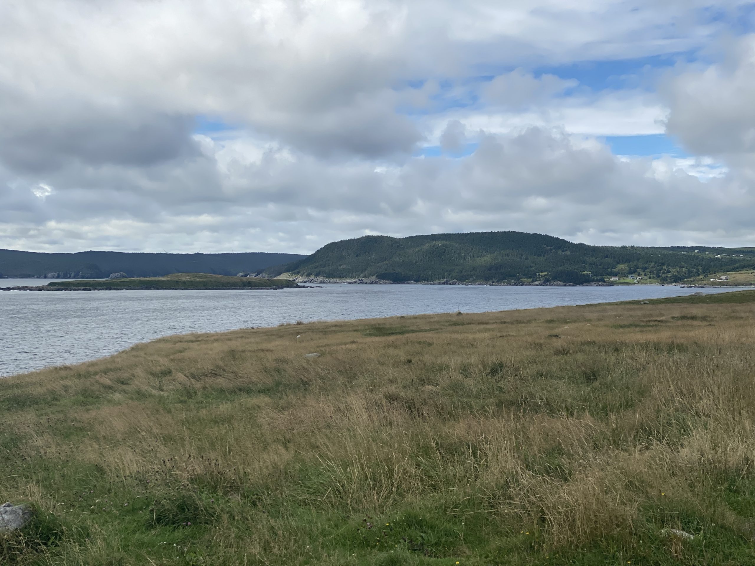
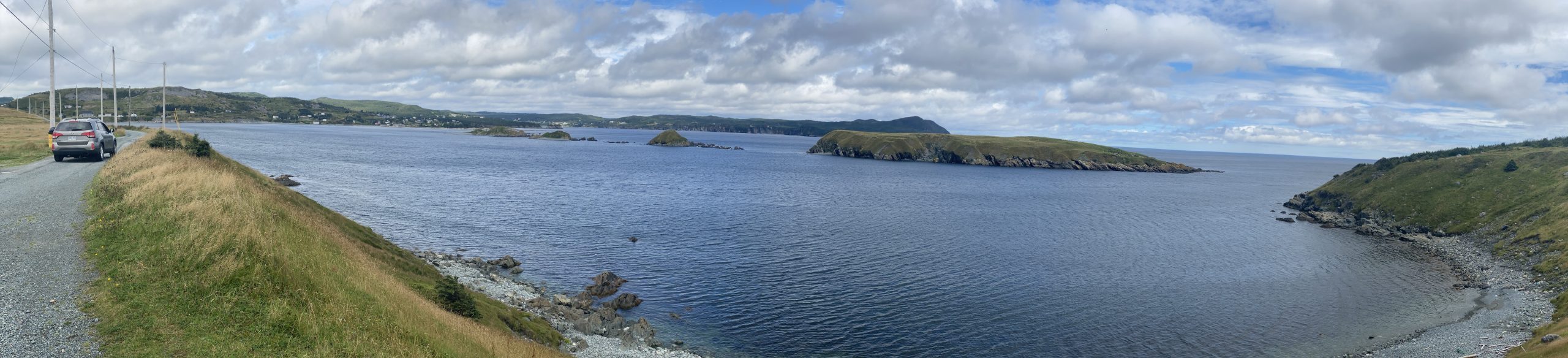
Further down the road, I stopped at an overlook of Tors Cove for a photo.
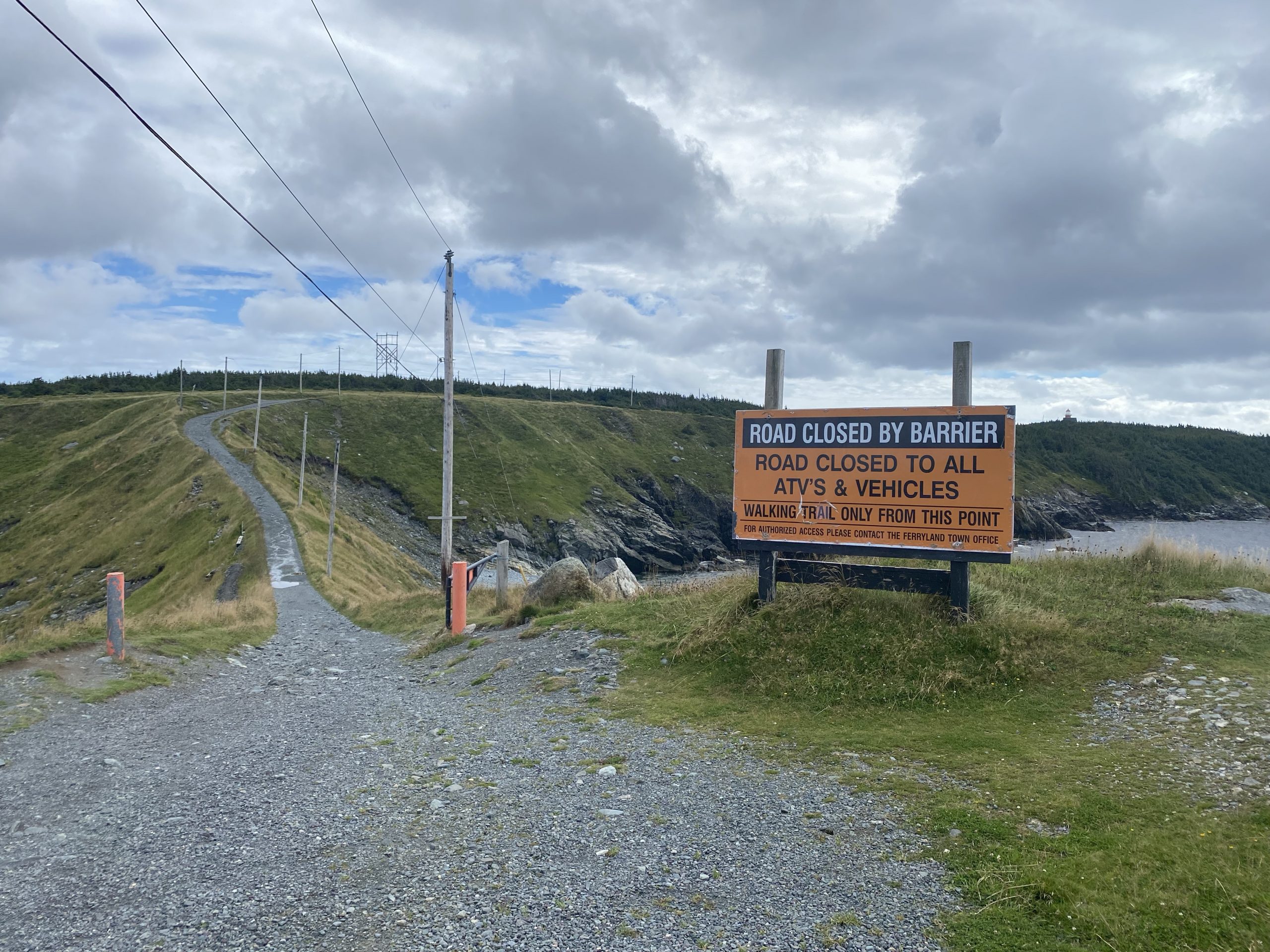
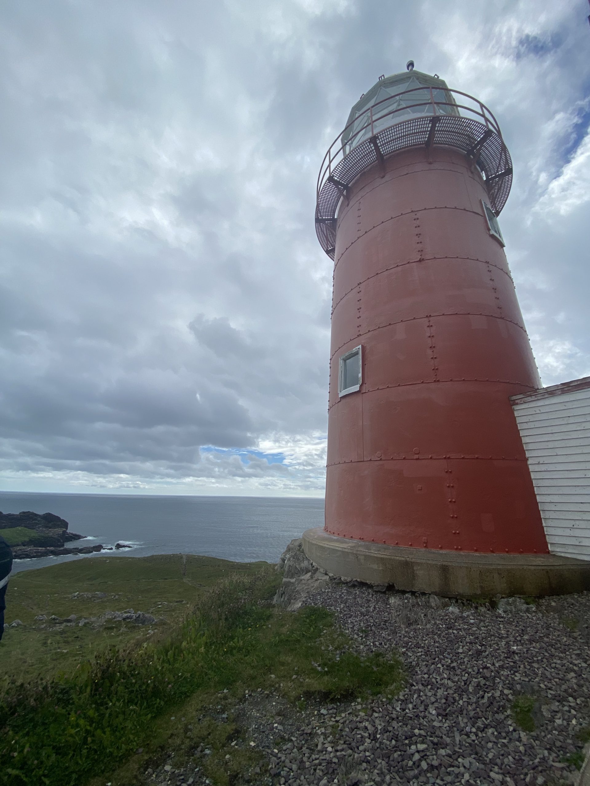
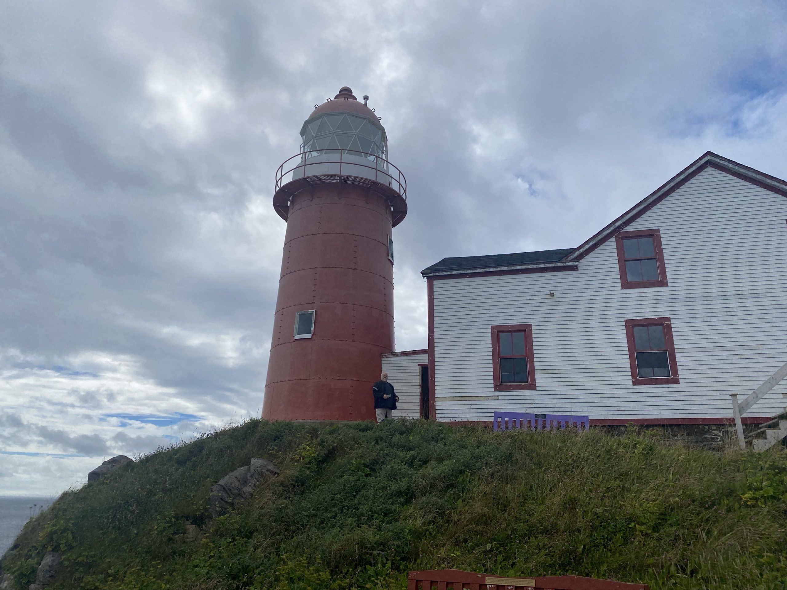
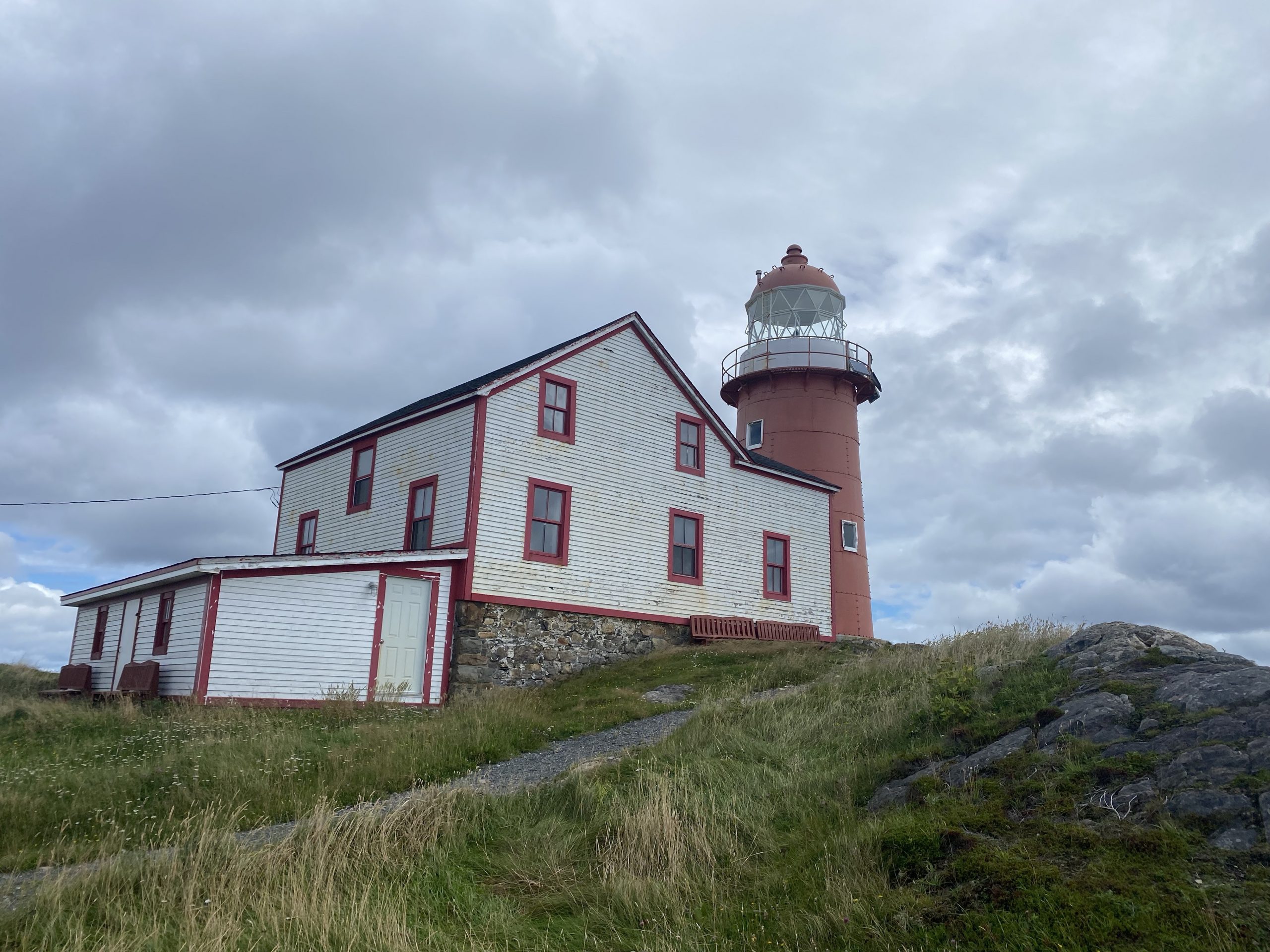
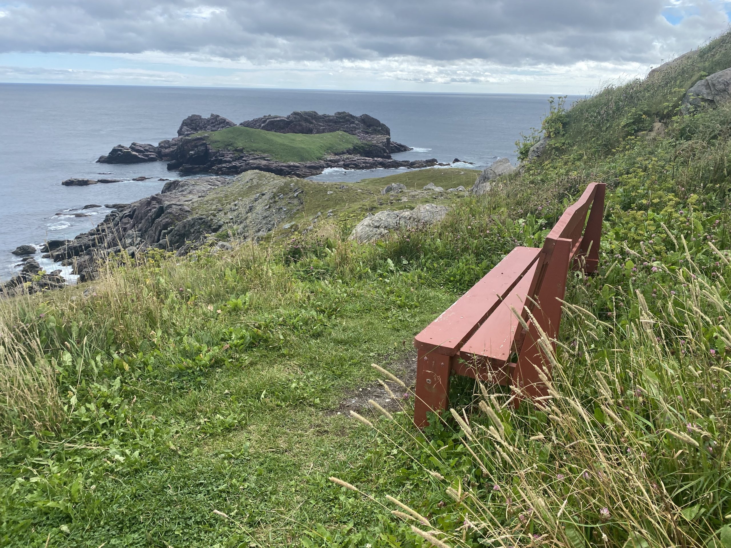
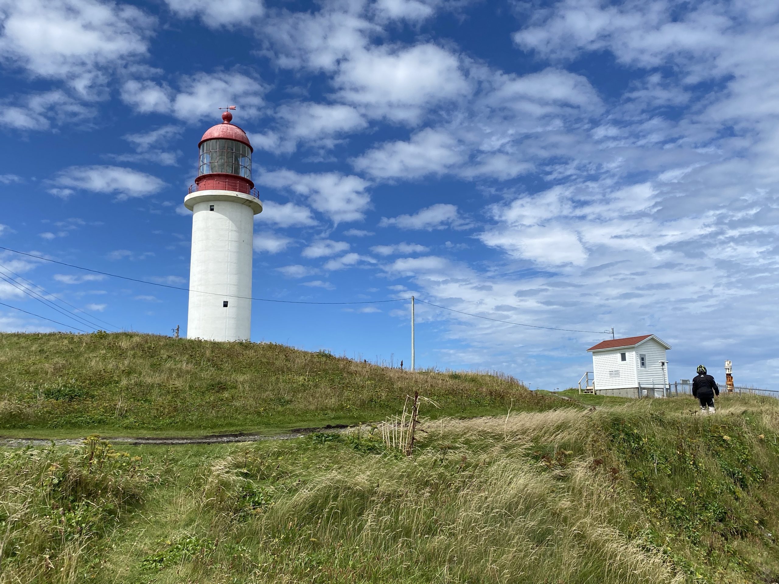
Further south along the coast, we stopped at Ferryland, where a narrow point off land sticks out into the ocean. The end of the point hosts the Ferryland Lighthouse, and the surrounding grounds have an interesting activity based on them.
Back towards the mainland, there is a shop where visitors an purchase a boxed sandwich lunch, made by the locals. You then take your box lunch out on the point, find a nice place to hang out (often within sight of the lighthouse), and you throw down a blanket and have yourself a picnic. Having a Ferryland Picnic is a long-standing Newfoundland tradition.
Unfortunately, it’s harder to do that now, The end of the road out on the point stops about 2/3rd out; the final third is closed to motor vehicles (without explicit permission; more about this in a moment). We were still stuffed from the previous day, so we skipped the box lunch, but we still wanted to go get some photos of the lighthouse. At the big Road Closed – Foot Traffic Only sign, we parked the bikes and took a few photos.
There was a tall, thin, older gentleman at this parking area with his four-seat quad-runner. It turns out, he had explicit permission to ferry visitors out to the lighthouse and back, for tips. Chuck offered a price, the quad-dude (we never got his proper name) accepted, and we piled in for the ride up to the point.
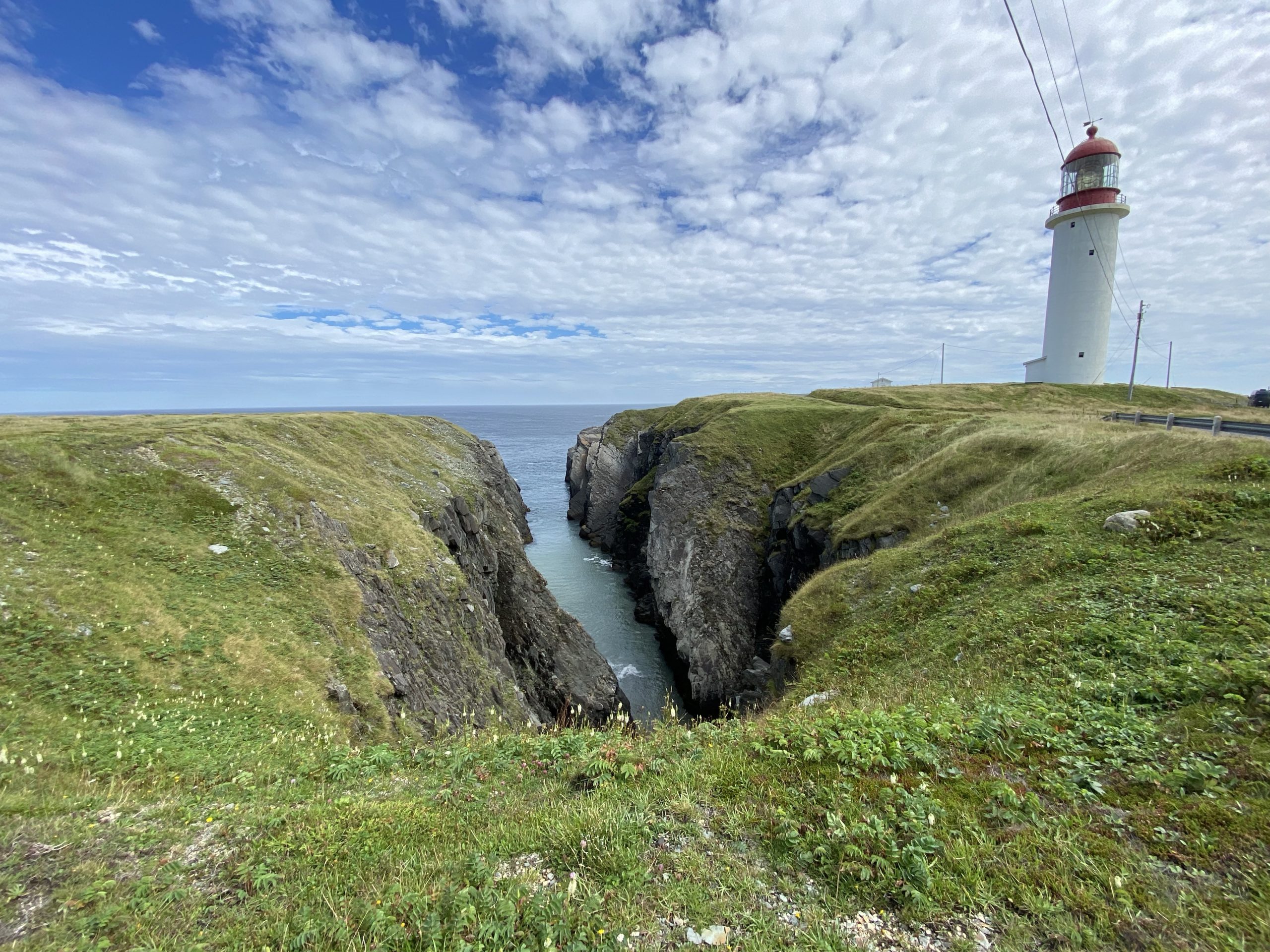
The road wasn’t very good and was completely submerged under large puddles from last night’s rain. Hikers without waterproof boots were going to have a fun time walking this path. It only took about five minutes, but we were soon standing in the shadow of the Ferryland lighthouse, which demanded a second set of photos.
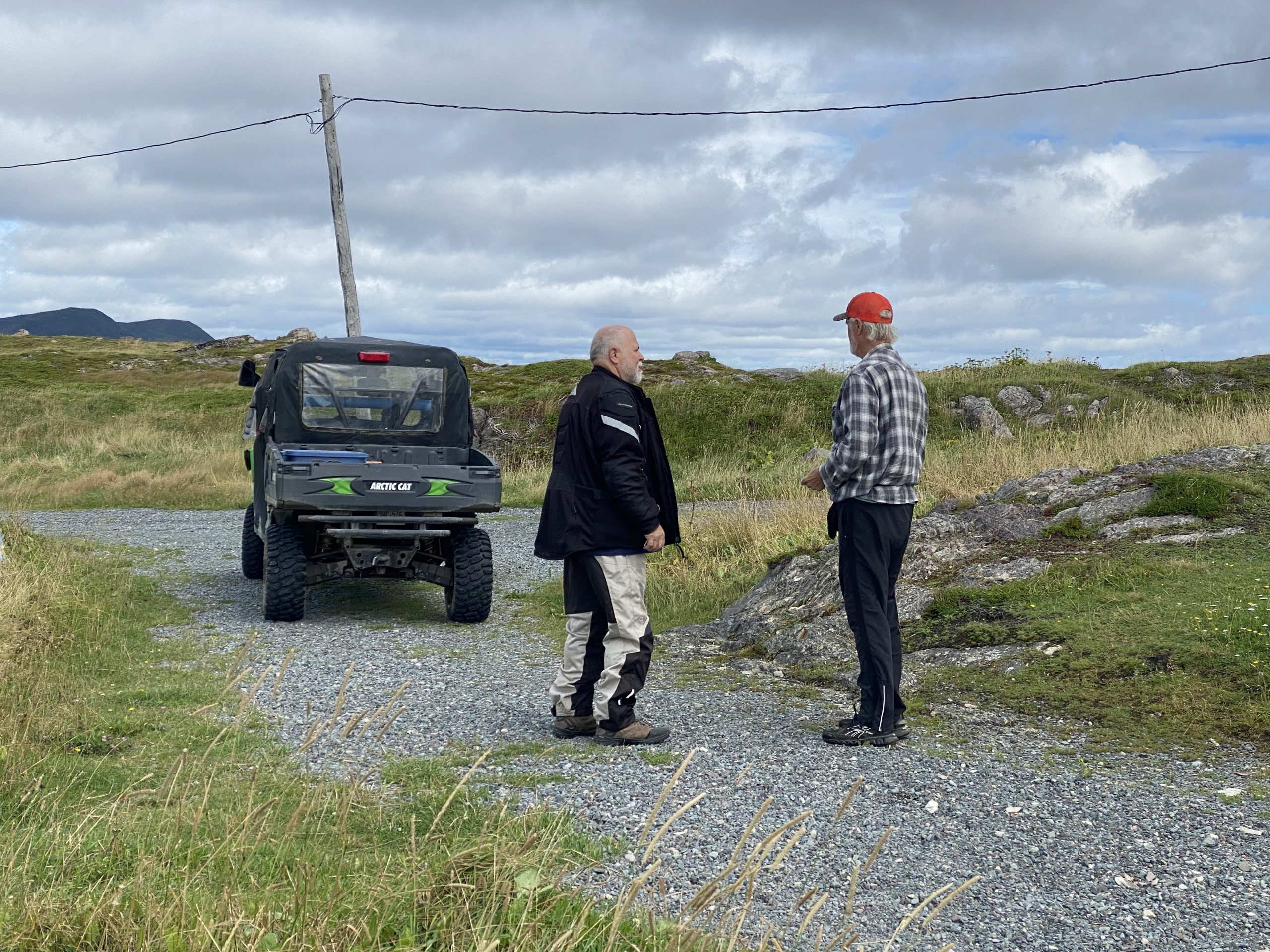
After our short stay, the quad-dude drove us back down the point to the parking area and our bikes. Before this trip, we’ve had several people warn us that Newfoundlanders are notoriously nice. So far, this has been true.
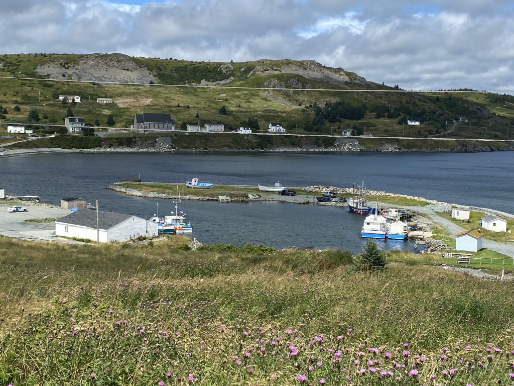
We remounted the bikes and rode back towards the mainland, stopping for one final photo of the Ferryland harbor.
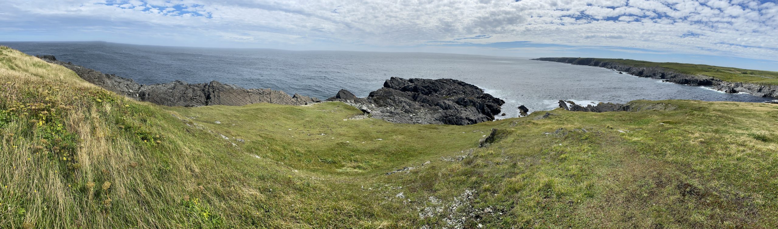
Just a bit south of Ferryland, we turned inland to cut across the south end of the peninsula towards the small down of Portugal Cove South. During this portage, the scenery changed from forest to barren low growth; it was like we’d entered the tundra. This is also where the wind started to pick up.
Once we reached Portugal Cove South, we stopped a convenience store that looked like it was working out off someone’s walk-out basement. During this visit we spoke to an electrical contractor. One of his teams was working out on the Cape Race road and had lost the key fob for their truck. He’d brought two fobs down but his cute Mercedes convertible wasn’t deemed a good fit for the Cape Race road; someone would need to come back in another vehicle and pick up a fob. Since we were headed down that road, Chuck volunteered to relay the message if we saw their truck. (Not a lot of cell coverage out there.)
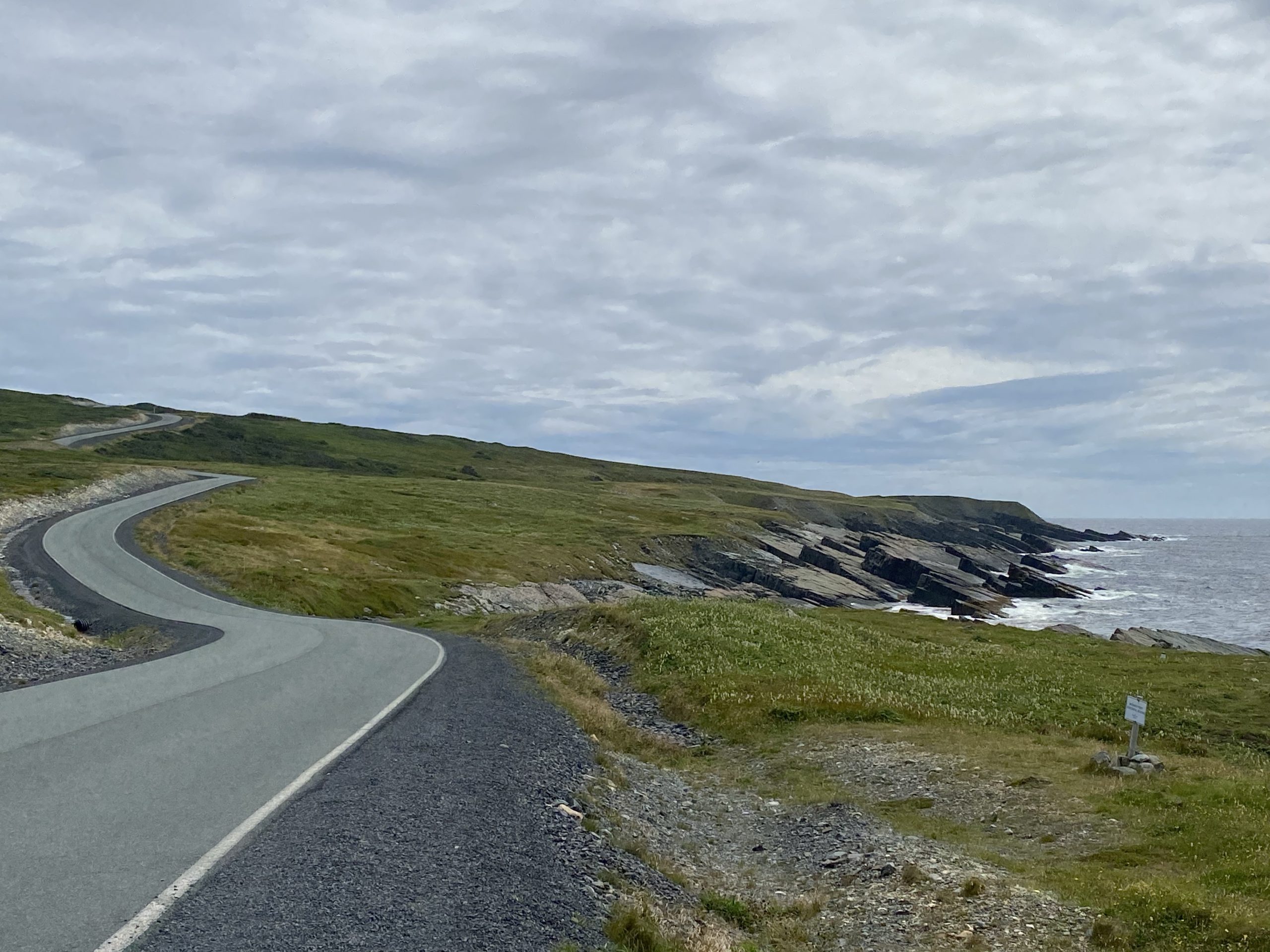
From Portugal Cove South, we’d run the coastal road back to the east towards Cape Race. We knew that some of this road was gravel, but we didn’t know how bad it was going to be to ride.
- A YouTube video we’d watched the night before the ride showed a very rough road, but that was back in 2015, well before the tourist efforts in this area were increased.
- The quad-dude who drove us up to the Ferryland lighthouse said that the gravel portions of the road to Cape Race were in great condition and that we’d have no problems.
- The woman in the convenience store in Portugal Cove South said it would take 45 minutes to travel the road to Cape Race… each way.
As it turns out, the road to Cape Race wasn’t much of a problem at all.
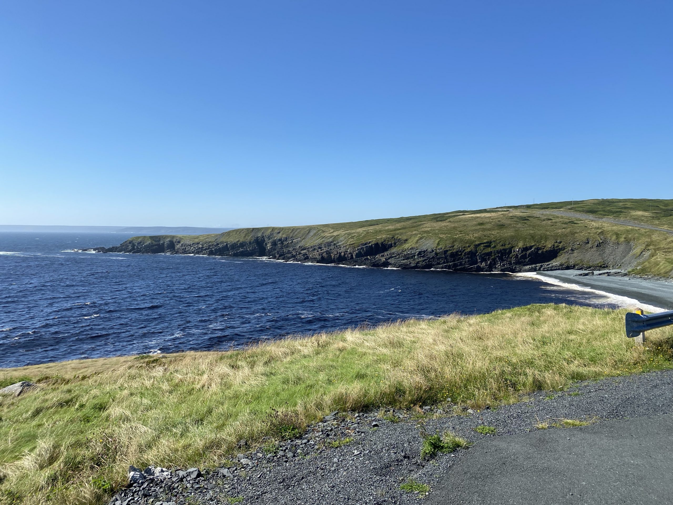
Overall, the Cape Race road is about 15 miles long. The first seven miles of it is paved; nice new pavement and easy to ride. The only gotcha is that the shoulders is a fine dark gravel and in some corners, there’s some of it on the road. In other words, you can move along, but this is not a place to practice dragging your knees through corners.
The last eight miles is the aforementioned fine black gravel. We found it to be packed down pretty well and we maintained a fairly steady 30 mph along the road. There was some minor washboarding of the surface here and there, but it wasn’t a problem.
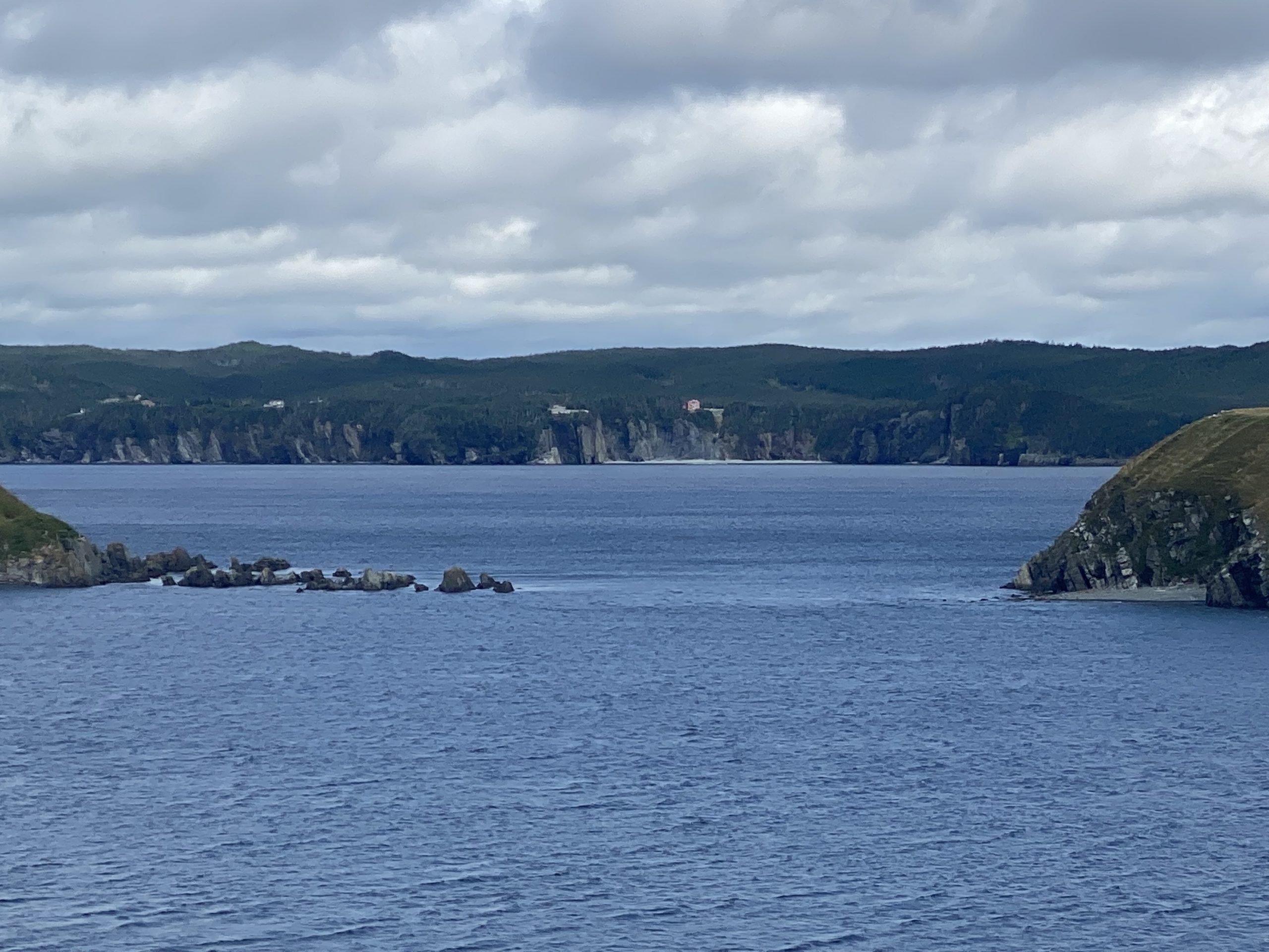
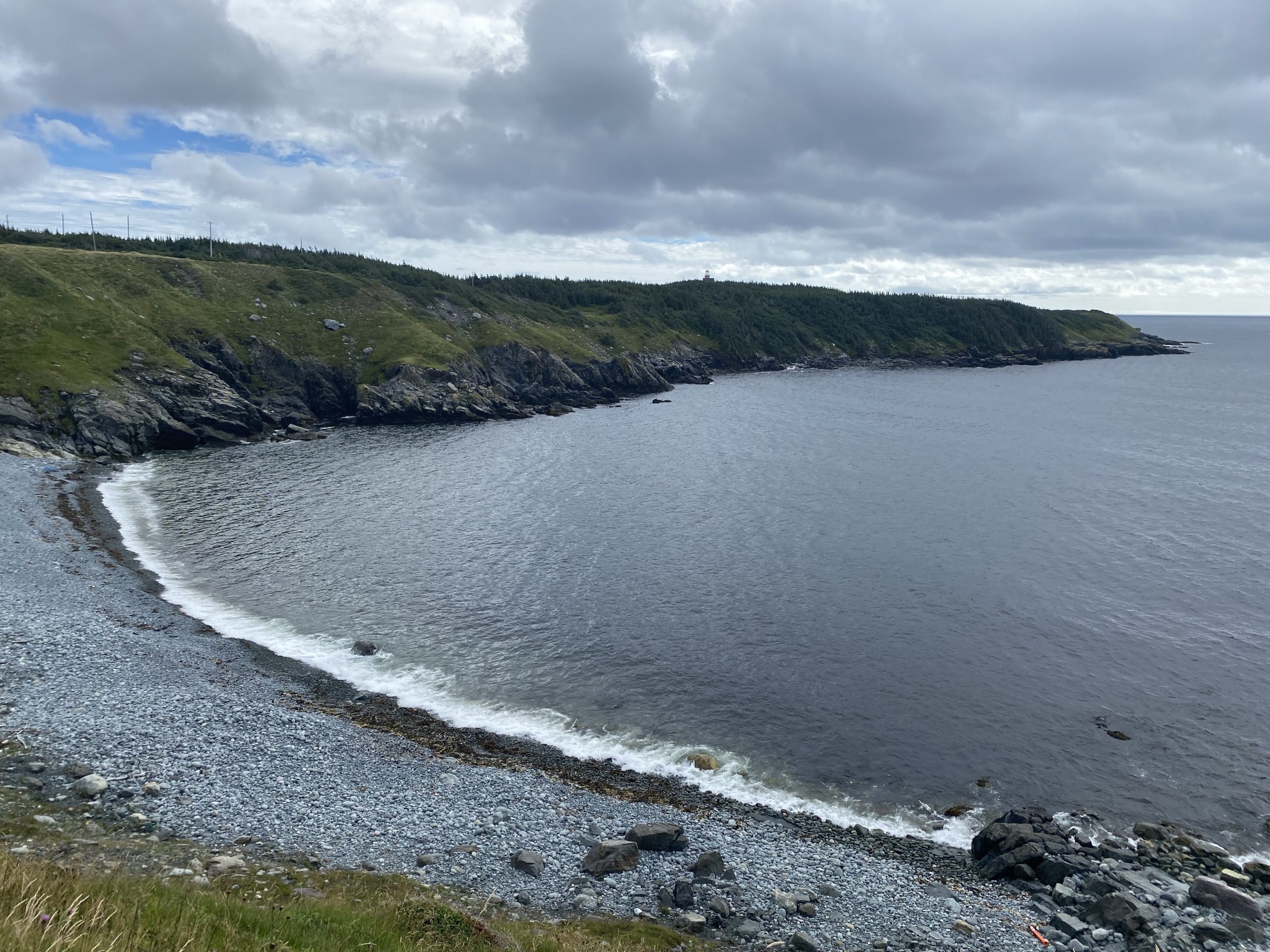
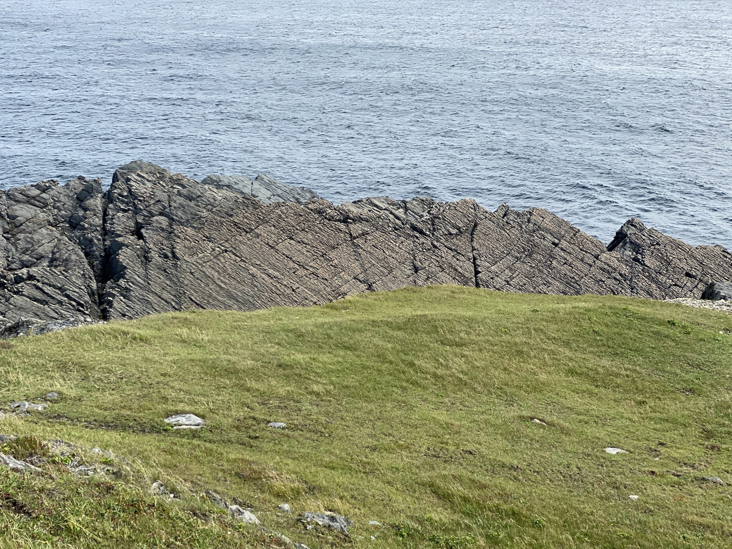
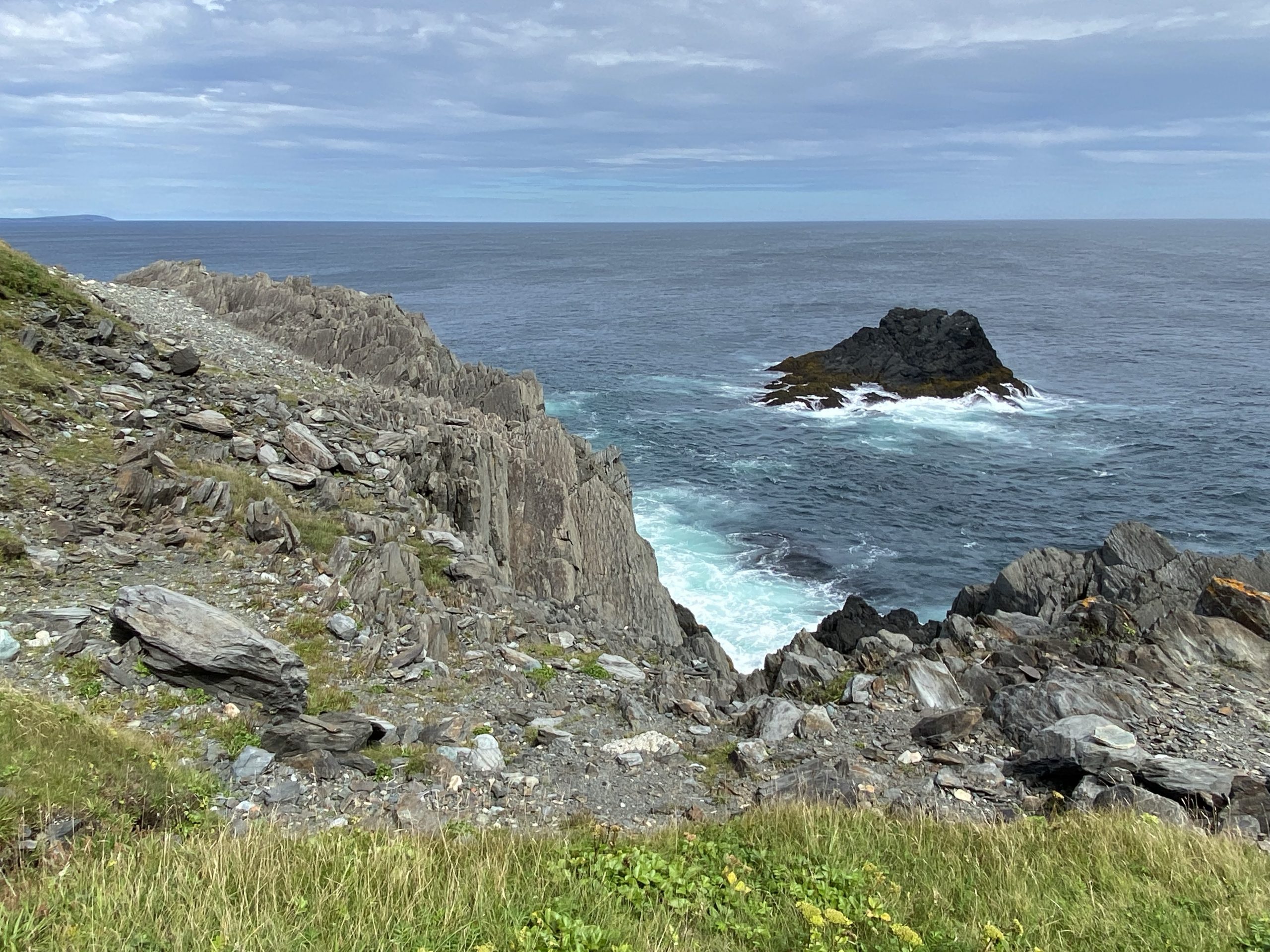
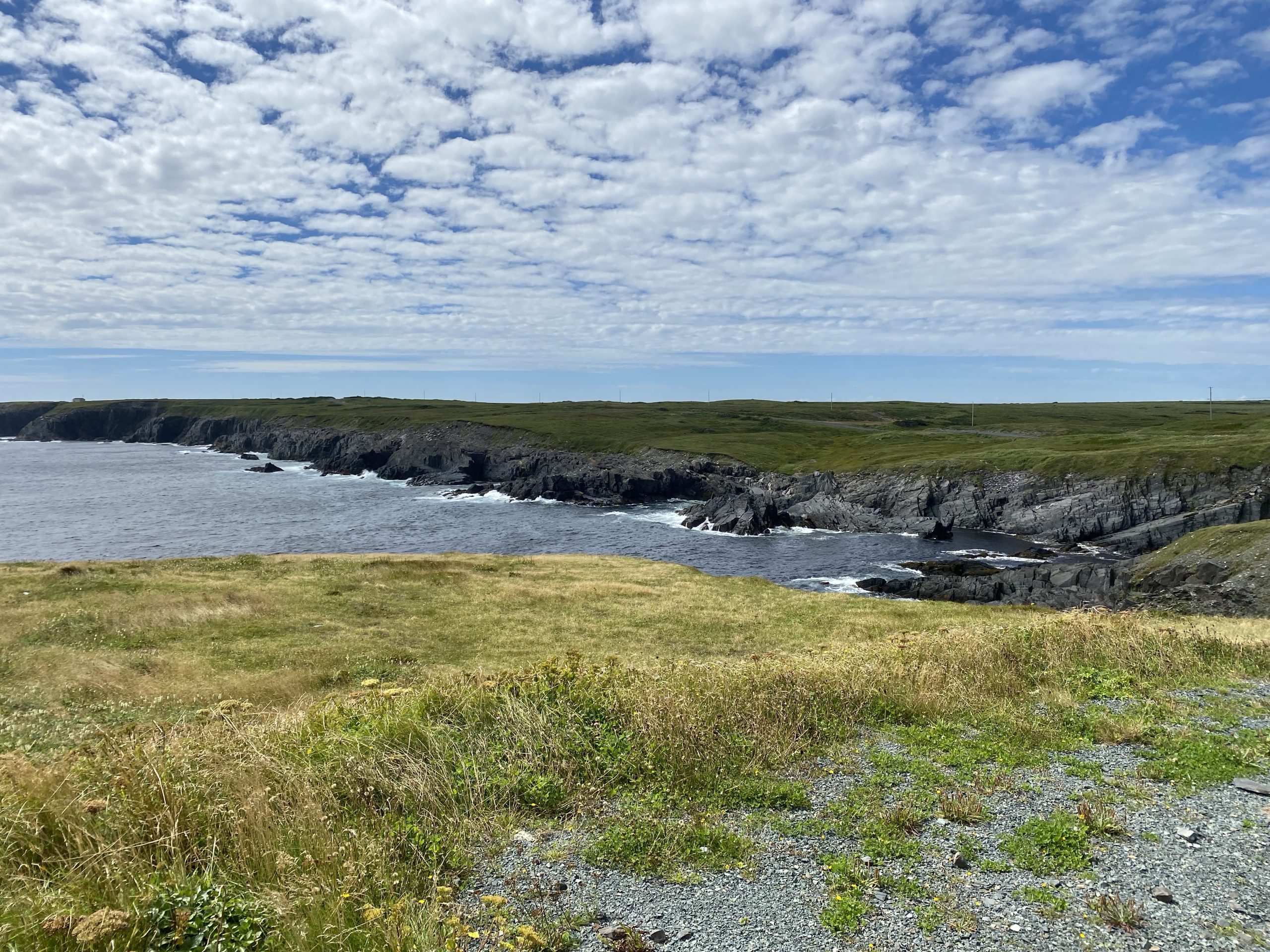
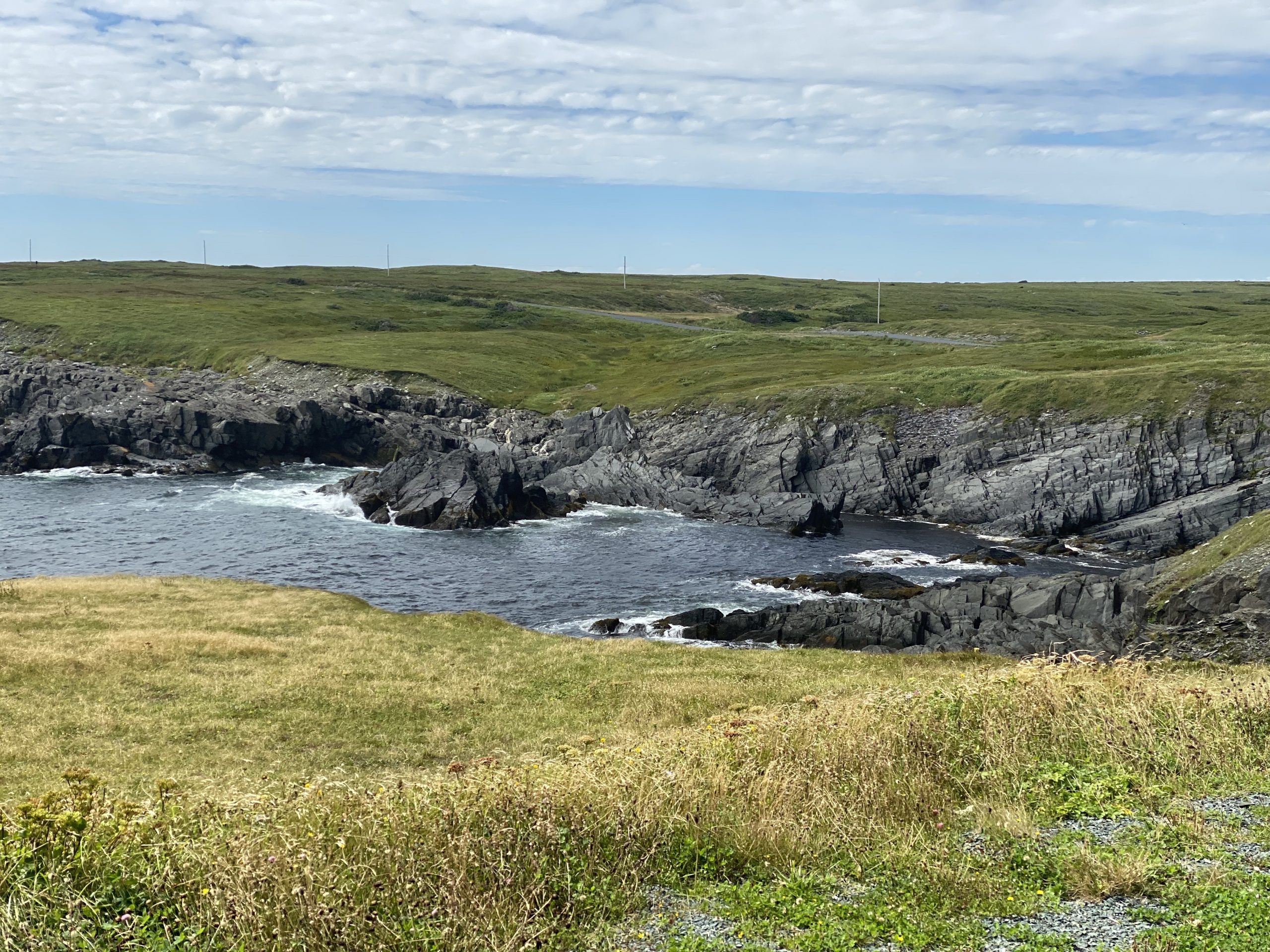
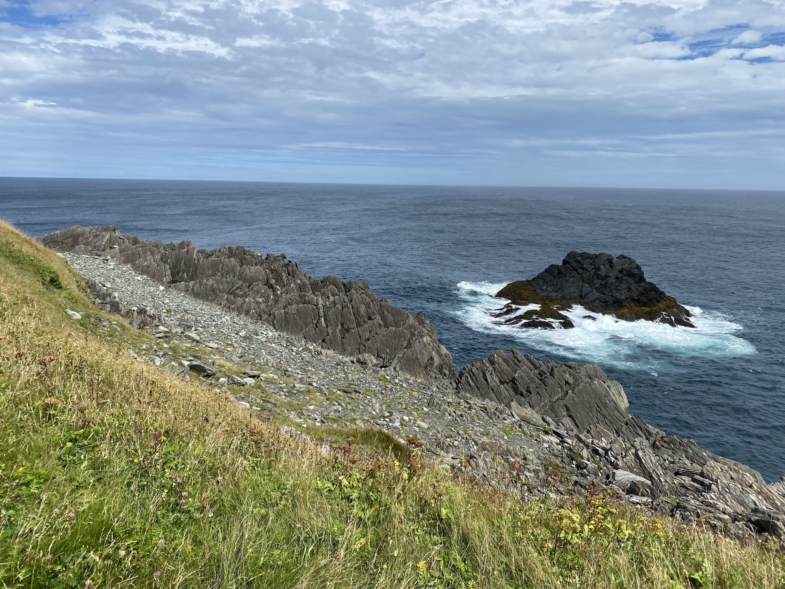
The coastline along the Cape Race road is interesting from a geological point of view. It consists mostly of large upthrust layers of old Earth’s crust, and when I say old, I mean really old. There are regions of Newfoundland that have exposed portions of some of the oldest pieces of Earth crust currently dated. At Mistaken Point, along the Cape Race road, the park service has guided tours of some of these crust plates that are literally covered with fossils. We didn’t stop for this, but if you’re a rock hound and arrange a visit, it should not be skipped.
Given the unexpectedly good road conditions, especially after last night’s rain, Chuck and I were quite pleased when we got to the Cape Race in about 20 minutes.
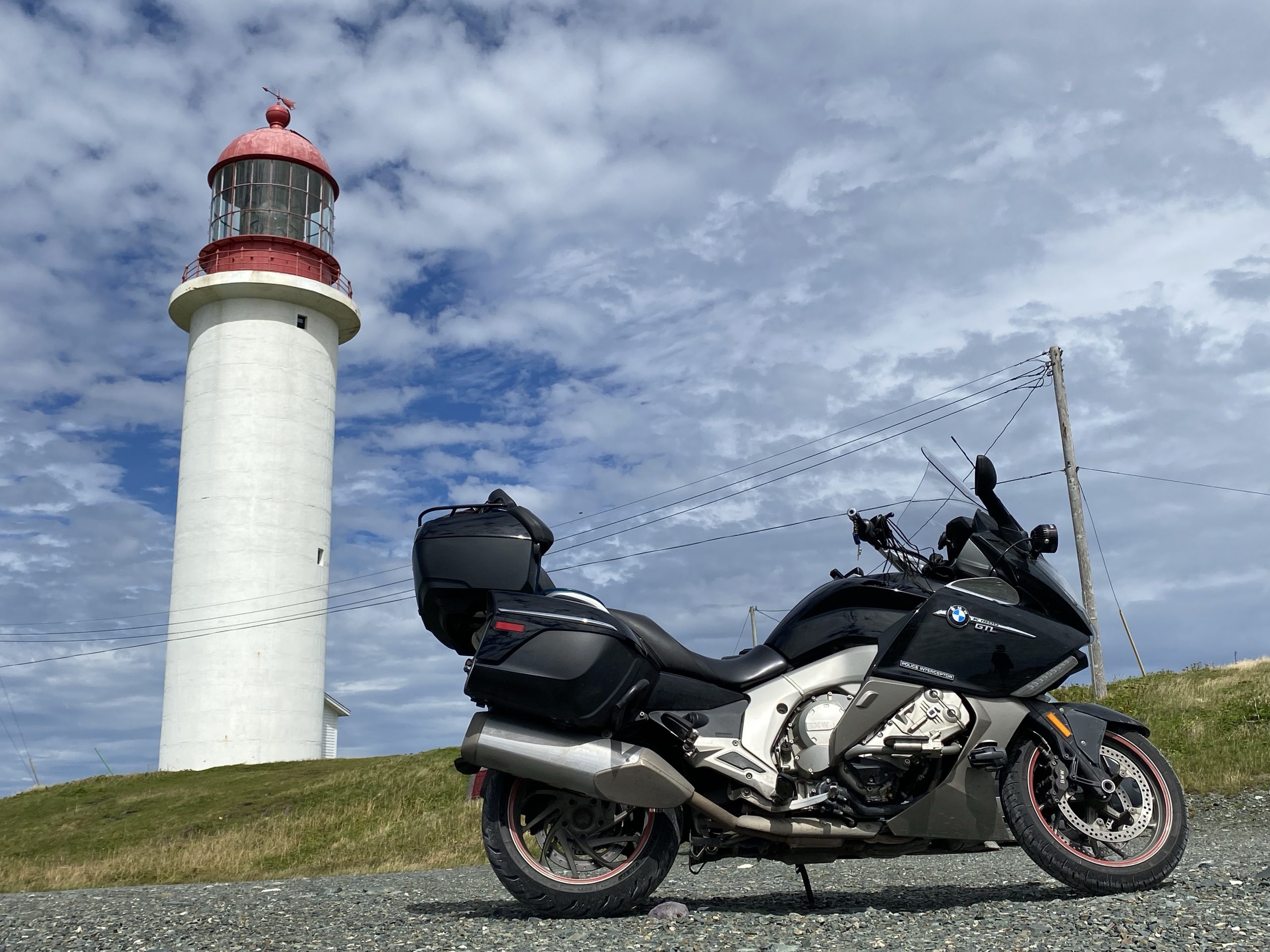
One of the reasons I wanted to visit Cape Race is its history. It was a main relay point for early radio transmission from ships crossing the Atlantic Ocean. It was the Marconi station that first picked up the distress calls from the Titanic before it sank in 1912. The lighthouse has been an important jumping-off waypoint for ships sailing from North America to Europe; the last fixed point to take a bearing before heading out across the open ocean.
We parked the bikes at the base of the lighthouse and took a bunch of pictures of the area.
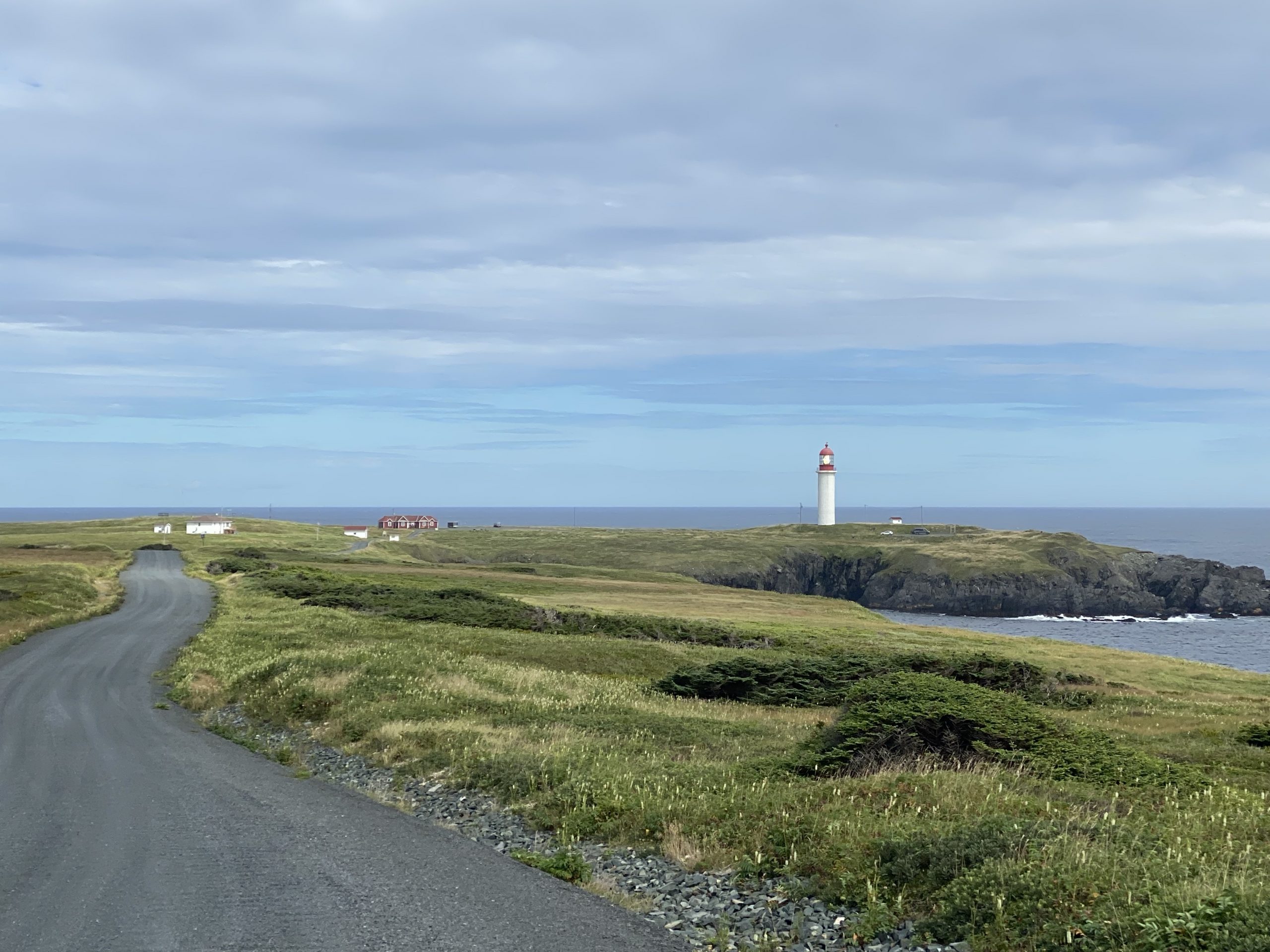
After gorging ourselves on lighthouse photos, we rode 100 yards inland and parked in front of the Myrick Wireless Interpretive Center. We paid our entrance fee and had the entire museum, including it’s attendant, to ourselves. We spent a lot of time here talking about radio technologies, the Titanic disaster, and the Myrick family, who manned the wireless station here (in one capacity or another) for several generations.
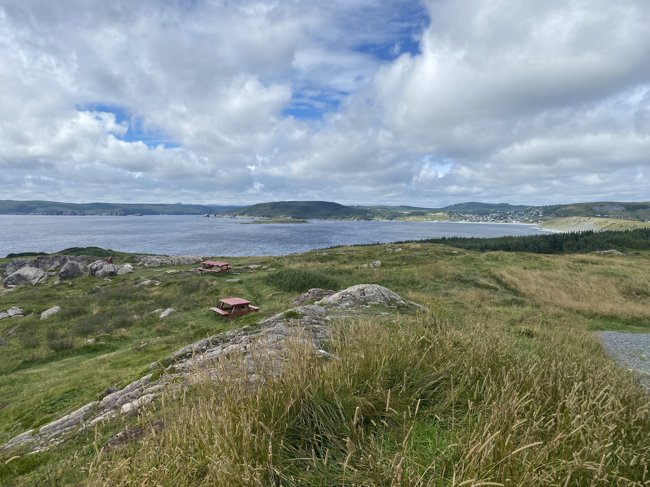
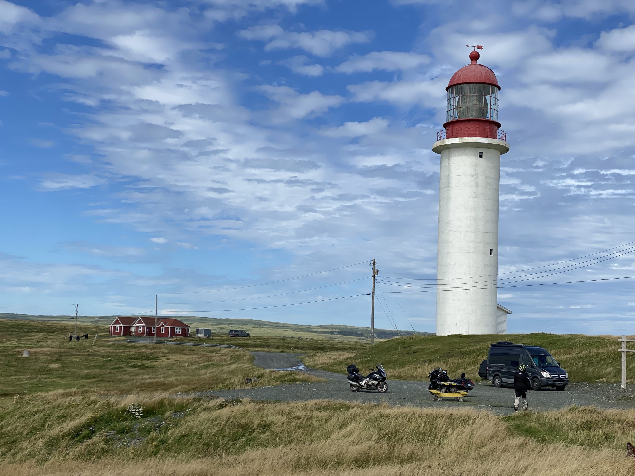
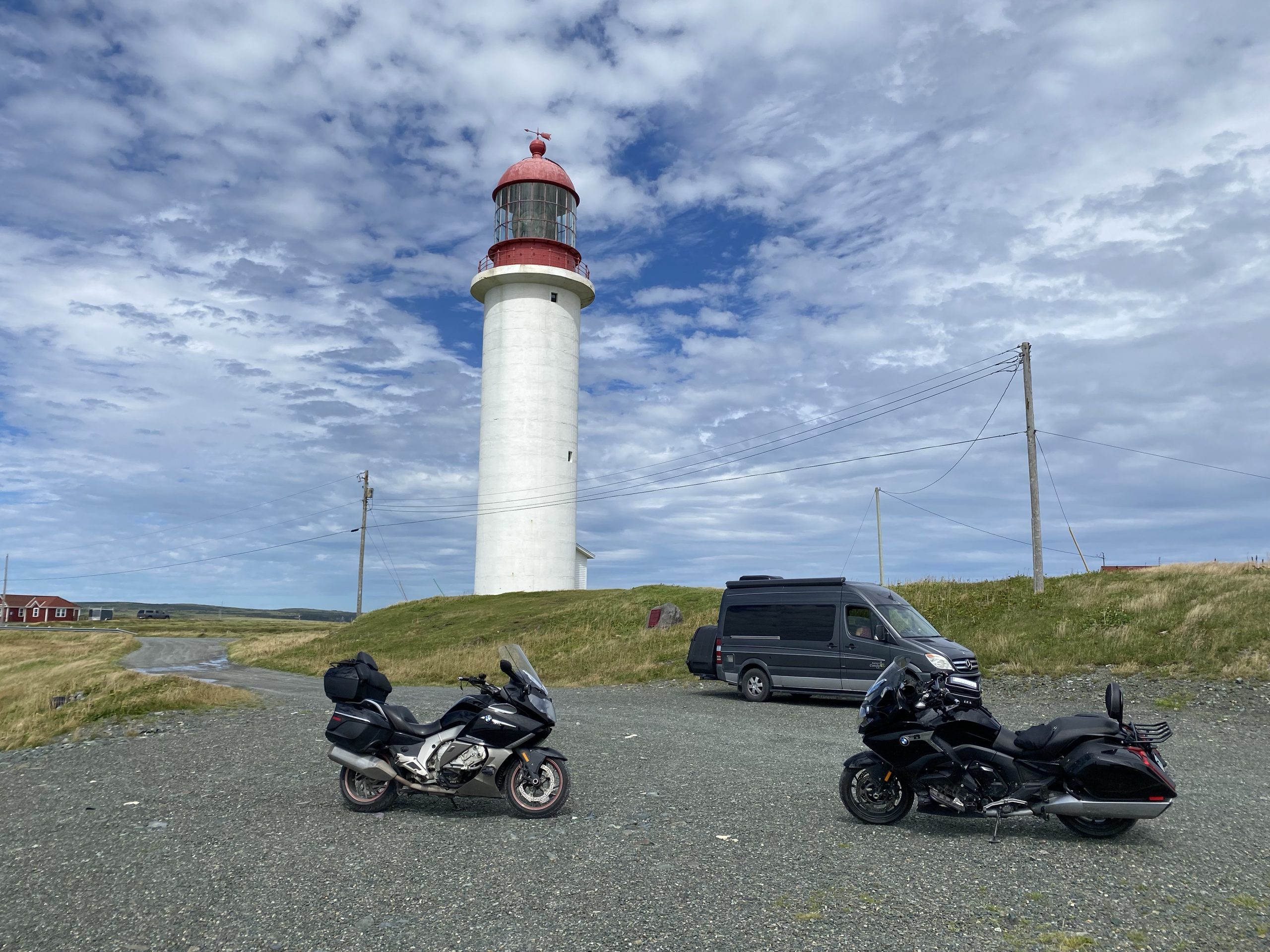
Having totally geeked out on Cape Race lore, it was time to get back down the road. We turned the bikes back up the Cape Race road and made excellent time getting back to Portugal Cove South, only stopping for a few additional photos.
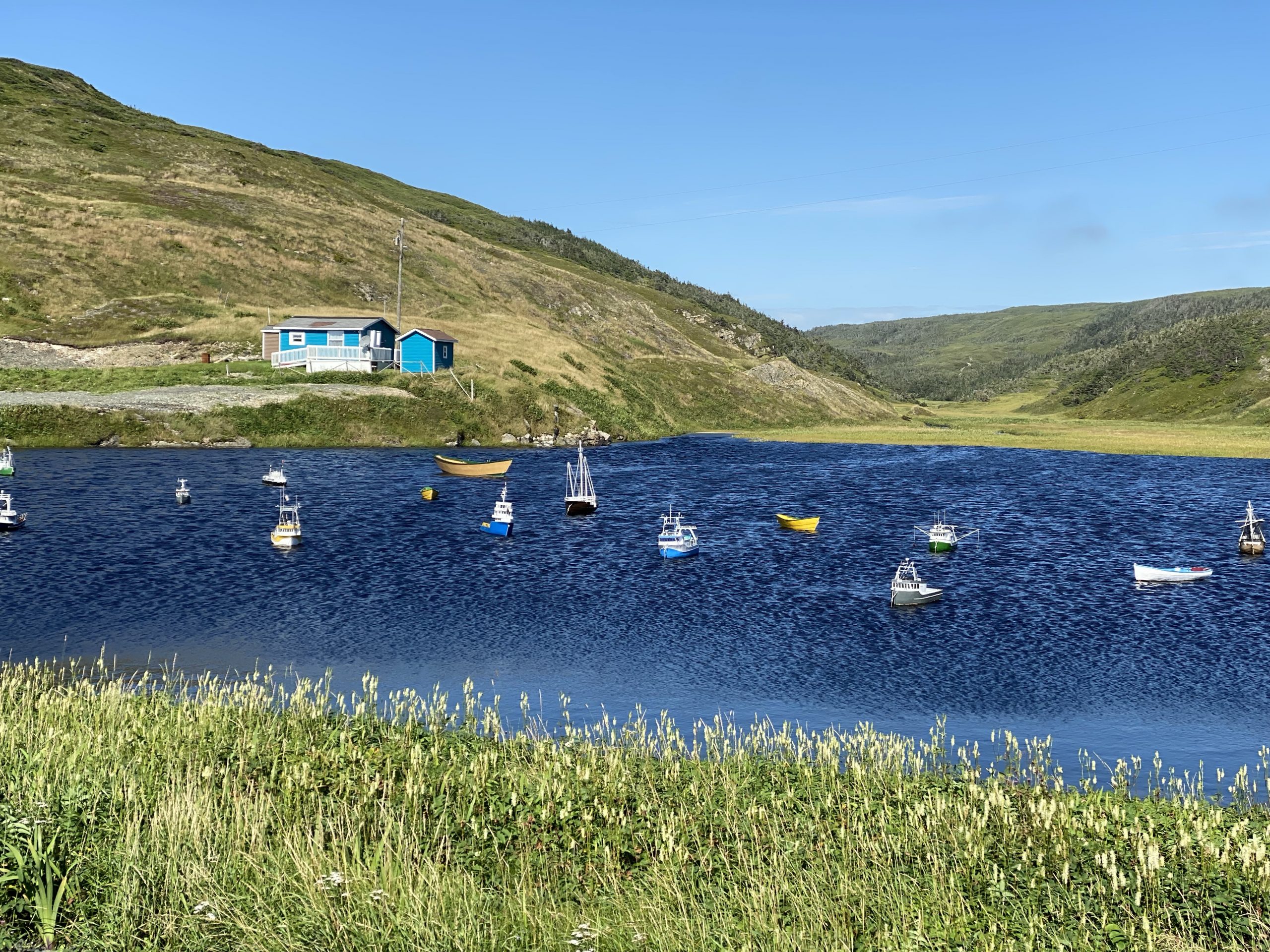
Back on the main highway, we turned the corner and started back north up the peninsula, passing through small fishing villages along the way. On this side of the peninsula, the sky was a nearly cloudless blue, but the wind howled strong, at least a sustained 30+mph. Chuck and I rode the open tundra landscape leaning the bikes into this crosswind. When the road turned to run parallel to the wind, we could be going 50-60 mph and feel like we weren’t moving at all.
We planned to stop at a gas station for some fluids, but we didn’t find one for another 30 miles. Not every town in this region has a gas station.
Continuing north, we successfully navigated two gravel construction zones, one with newly graded gravel that felt like we were riding on marbles. Immediately afterwards, we turned onto Trans Canada 1 east back towards St. John’s.
We were back in the hotel parking lot shortly after 6pm, which gave us plenty of time to get downtown to try and get seated at Duck of Duckworth before the kitchen closed at 8pm (we missed it by 28 minutes last night).
Post Ride
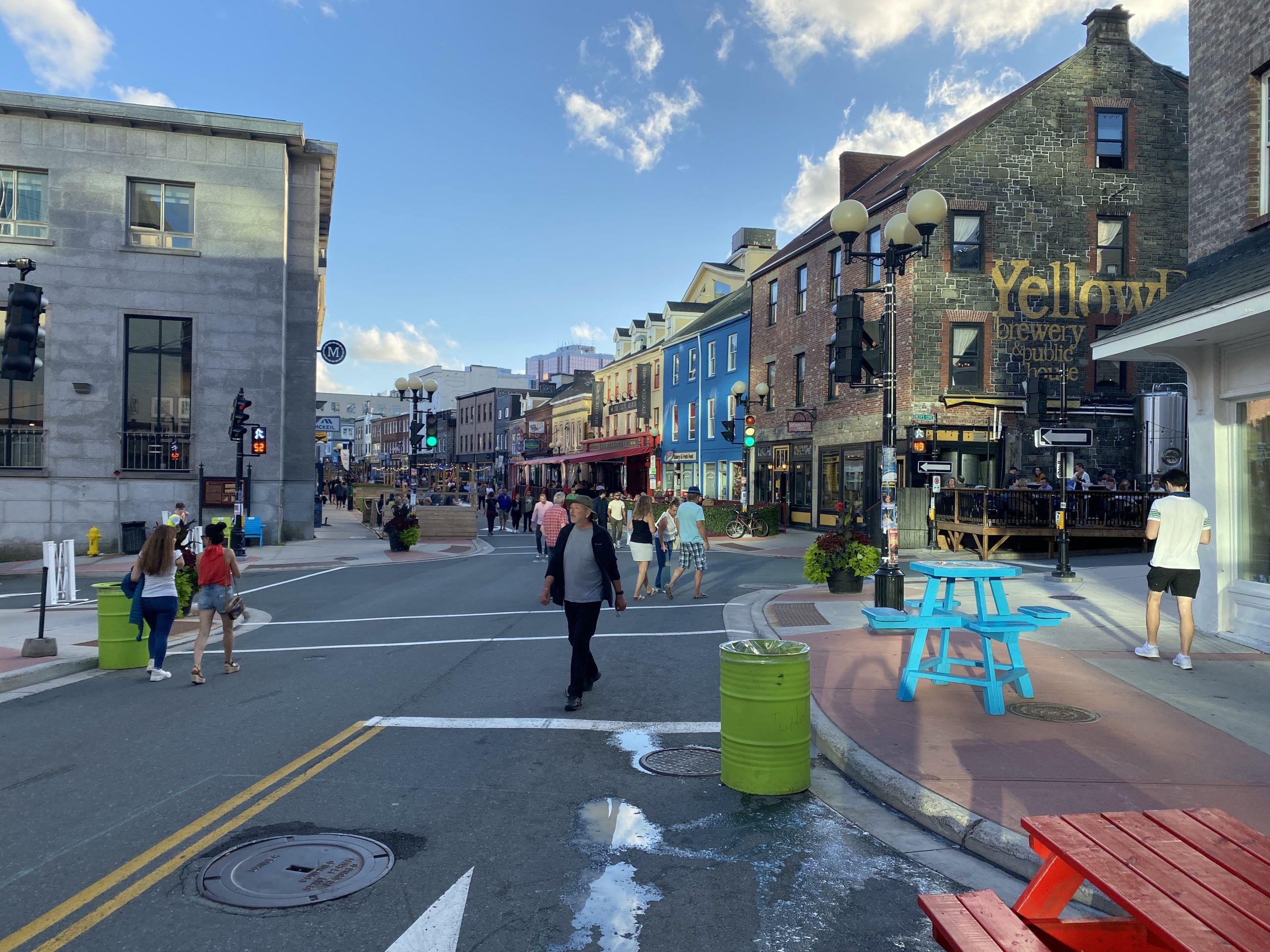
After a short visit to the hotel room, we ventured downtown. Unlike last night, when we took a cab in the rain, we rode the bikes and did our best to find a parking spot. We got lucky and found a narrow spot on the street that could still hold two bikes, a mere two or three blocks away from our target venues.
We reached Duke of Duckworth about 50 minutes before the kitchen was due to close (even on a Friday night? WTF?). We had to wait about 15 minutes but managed to get a table on their rear deck. While the deck didn’t have the same ambiance as the ancient interior, it was a lot quieter. Chuck and I both ordered the fish and chips and found that it lived up to expectations; the fish was excellent, the batter light, and the chips crisp and tasty. Overall, a good recommendation.
After dinner, we wandered the pedestrian zone of downtown. Chuck wanted us to find a place to get Skreeched In, a local ritual that involves drinking high-octane rum and kissing a frozen cod. Unfortunately, the really good places to have this done were either booked solid or not especially inspirational in their excitement about us. Perhaps they’d been more animated for buxom teenage females in tube tops.
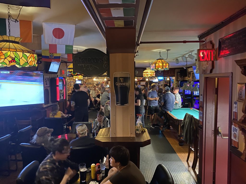
We did stop at a bar with outdoor seating so I could get a drink. I asked for an Old Fashioned and had to coach the bartender in how to make one; a makeshift effort given that she was missing several of the proper ingredients. It was the worst Old Fashioned ever, but it still contained bourbon that I could taste and that was, ultimately, what I was after.
The short ride back to the hotel got us checking out our photos for the day and starting to write trip reports.
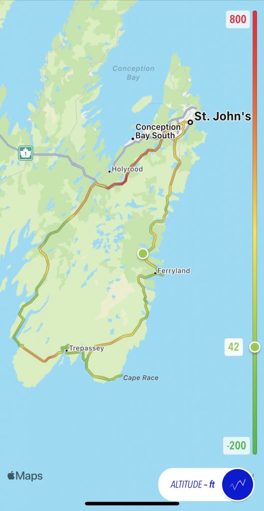
Map
There are two map offerings today. The first is my traditional Trails-based map with an altitude overlay.
My ride map from my Scenic app, which I used to navigate today’s route, had a snafu where the navigation lost track of where I was and though we’d already been down the Cape Race road when we had not yet been there. My only recourse was to stop the current ride, create a nearby waypoint from which to continue the ride, and restart the ride at that point. As a result, we have two Scenic rides for today:
Video
Because I’m a bloody idiot and forgot to put the memory card back in my dash cam, there is no ride video for today. (Which is a shame since we had some good roads and a nice sighting of a red fox.) Instead, I offer some clips of the Atlantic Ocean meeting up with the Cape Race shoreline.
Tomorrow
We leave St. John’s and start crossing Newfoundland to the west. We’ve give another peninsula (north facing, this time) a thorough examination. The weather forecast doesn’t look as nice as today, however.
One thought on “Newfoundland Day 8 – The Avalon Peninsula”