
I ride a last mountain I pass or two, climb to a mountain peak, and leave the mountains for the Slab dash home across the Great Plains.
Before the Ride
Before I went to sleep in Gunnison last night, I decided to try and do something about the slight headache that had been nagging me over the last day or two. It felt more like a sinus pressure problem than a minor migraine, so I threw a Sudafed at the problem.
I awoke with the 8am alarm. I’d slept fine and the slight sinus pressure was thankfully gone. I’m going to have to be in good shape for the next three days of riding.
I packed up, took a shower, and took my gear down to the Nightowl. It was still early enough for the hotel breakfast, so I made myself a waffle.
Gunnison is at a pretty good altitude, so it was only 68ºF when I went back to the room to don my riding gear. For the first time this trip, I broke out my purple camp flannel to go under my jacket. I figured I’d need it for at least half of the day’s ride.
Down at the Nightowl, I chatted with one of the other bikers at that hotel. He’s riding a nice little KTM around the logging trails and national forest roads. It was already after 9:30am, so I bid him farewell and headed east on US50.
The Ride
There wasn’t much traffic on US50 east towards Salida, so it didn’t take me long to get to the base of the climb up Monarch pass. To that point, the terrain was all rolling hills of grass and sagebrush, split into ranges for cattle or left fallow. Starting up Monarch Pass, the hills became mountains of increasing height, all covered by pine forests.
Monarch is always a great ride because it’s almost all three lanes wide: two lines going up and one going down. Consequently, you never get suck behind that one tractor trailer that lugs up the pass at 10mph. I paused at the summit for a quick photo.
There was a one-lane construction zone going down the east side of Monarch Pass. I was second in line, but the trucker in front of me waved my by when the flagman gave us the all-clear. I waved a thank-you at him and proceeded to enjoy an unmolested ride down the mountain. Great fun!
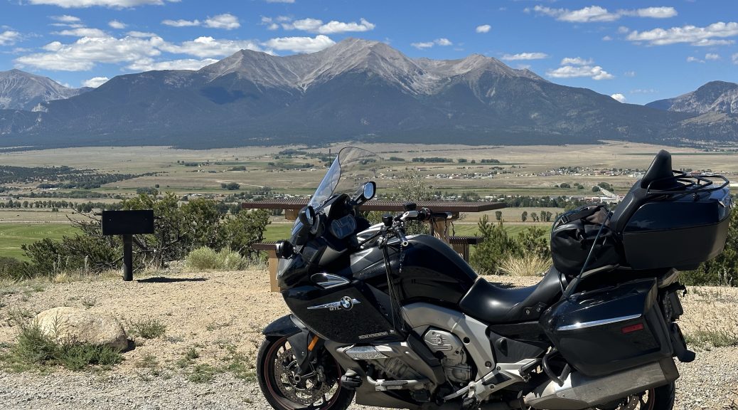
Down at Poncha Springs, I turned off US50 and took US285 north. This stretch rides the valley east of the Collegiate Peaks. Riding north, you have a variety of distant mountain ranges off to the east and a nice lineup of 14,000+ft peaks to your west.
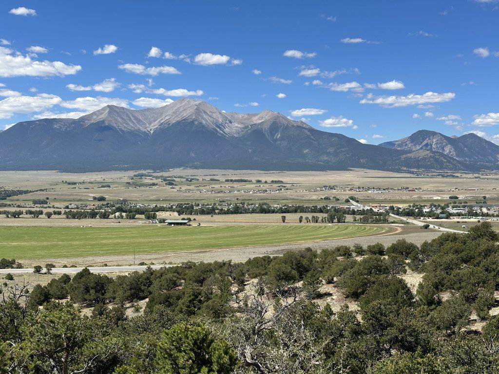
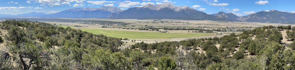
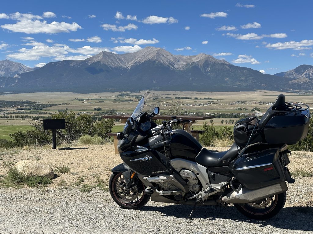
There are plenty of passing lanes on this stretch, so it was a quick ride to Johnson Village (south of Buena Vista), where I turned east on US24. I stopped in Johnson Village for gas. I made a second stop just east of town at a nice little community park with good views of the valley.
Continuing east on US24, you enter a huge alpine plateau. The plateau is almost flat and it goes on for miles and miles. If you weren’t surrounded by distant mountains, you’d think you were in Nebraska or Texas. The last time I went through here, it was very sparsely populated. Now it looks like some of the larger tracts have been split up into smaller pieces. About every 10 acres on the north side of the highway had some pole building or travel trailer set up in it. I guess this is a mountain escape for a bunch of the city dwellers down on the eastern slope.
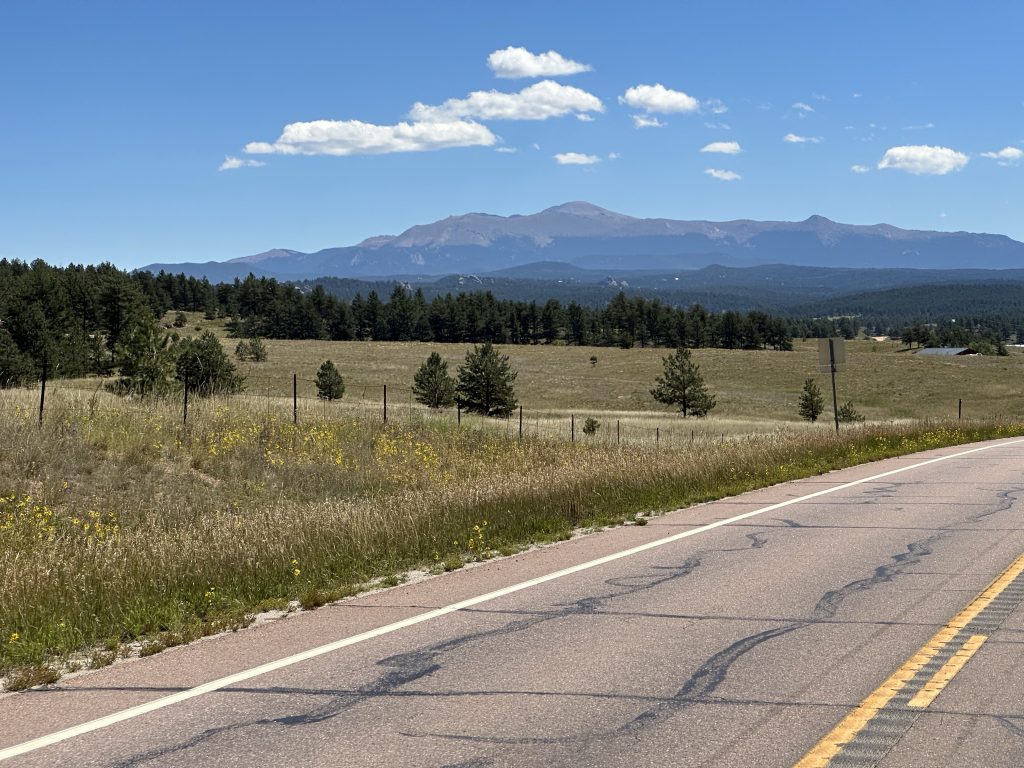
As I continued east, the familiar pyramid profile of Pike’s Peak came into view, dominating the horizon. It seemed strange to think that I was going to ride the Nightowl to the top of that thing in another hour or so. I grabbed a quick photo on the fly.
As I got close to the Pike’s Peak Highway, my GPS software, Scenic, got to clever for it’s own good. It tried to route me to the Pike’s Peak Highway via a back route. I wasn’t familiar with it, but what the hell; I followed the instructions until Scenic told me to turn left onto a gated goat path. Alas, I turned around and made my back to the known path to the Pike’s Peak Highway. Naturally, Scenic bitched the entire way, insisting that I turn around and go back to that shorter route.
The start of Pike’s Peak Highway was as I remembered from my visit here back in 1998. (Good God! That’s 25 years ago!) The roads were in good shape and the climb was nicely forested.
I stopped at the gateway and paid my requisite $17 fee to make the climb to the top. I was making pretty good time but as the terrain got more demanding, but pace slowed down.
And now for a minor technical discussion…
The Nightowl hates slow uphill climbs behind other vehicles. You find yourself either winding out the motor in one gear or lugging it in another gear. If I’m within 100 feet of the vehicle in front of me, it somehow disrupts the uniform airflow through the Nightowl’s radiator and it doesn’t cool efficiently. This isn’t usually a problem, but the Nightowl is due for it’s 18k mile service. That’s the legendary K1600 service interval where you check the valve lash, which means taking off most of the front of the Bike. One of the byproducts of all that effort is that this is the one time in the maintenance schedule where you have a chance to power wash the crap out of the radiator. So… as much as I think I can skip the valve lash measurement because it hasn’t changed much in over 80k miles, I still need to wash the radiator. I guess I’ll do a full 18k service this fall.
Anyway…
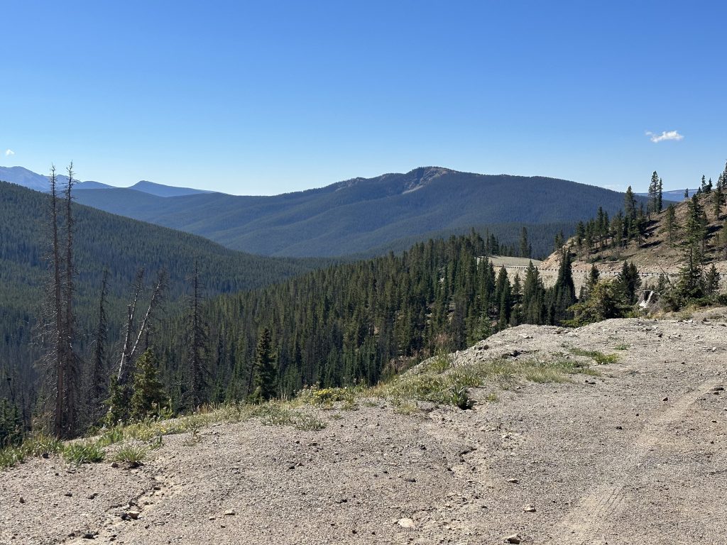
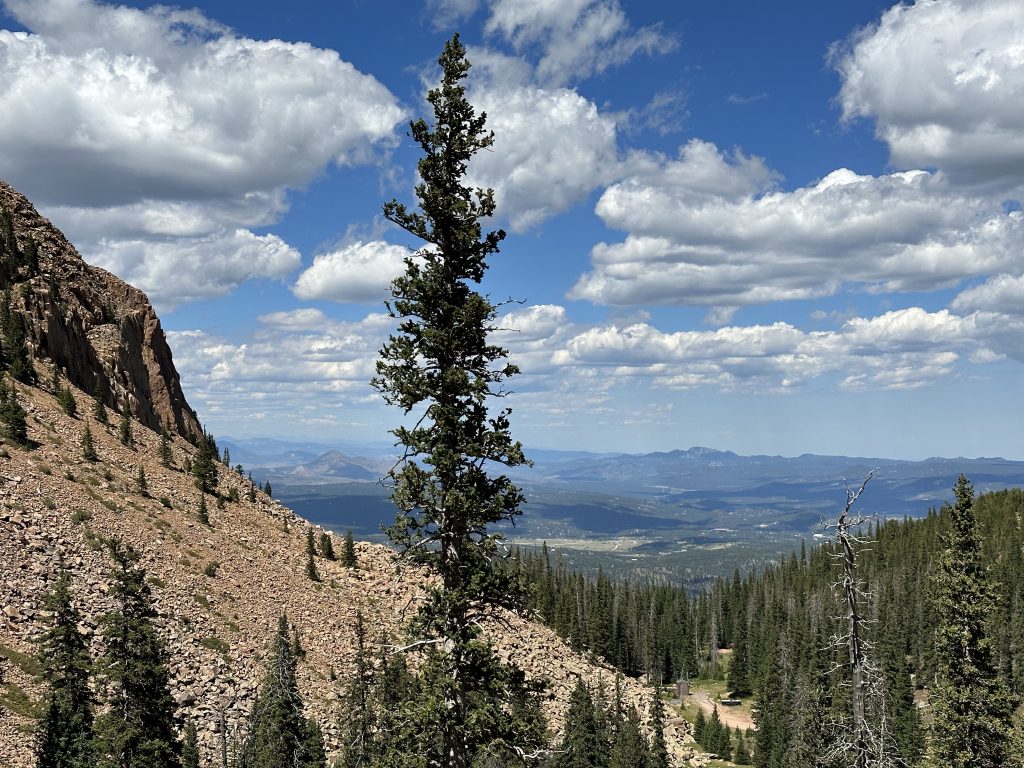
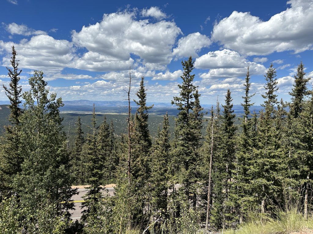
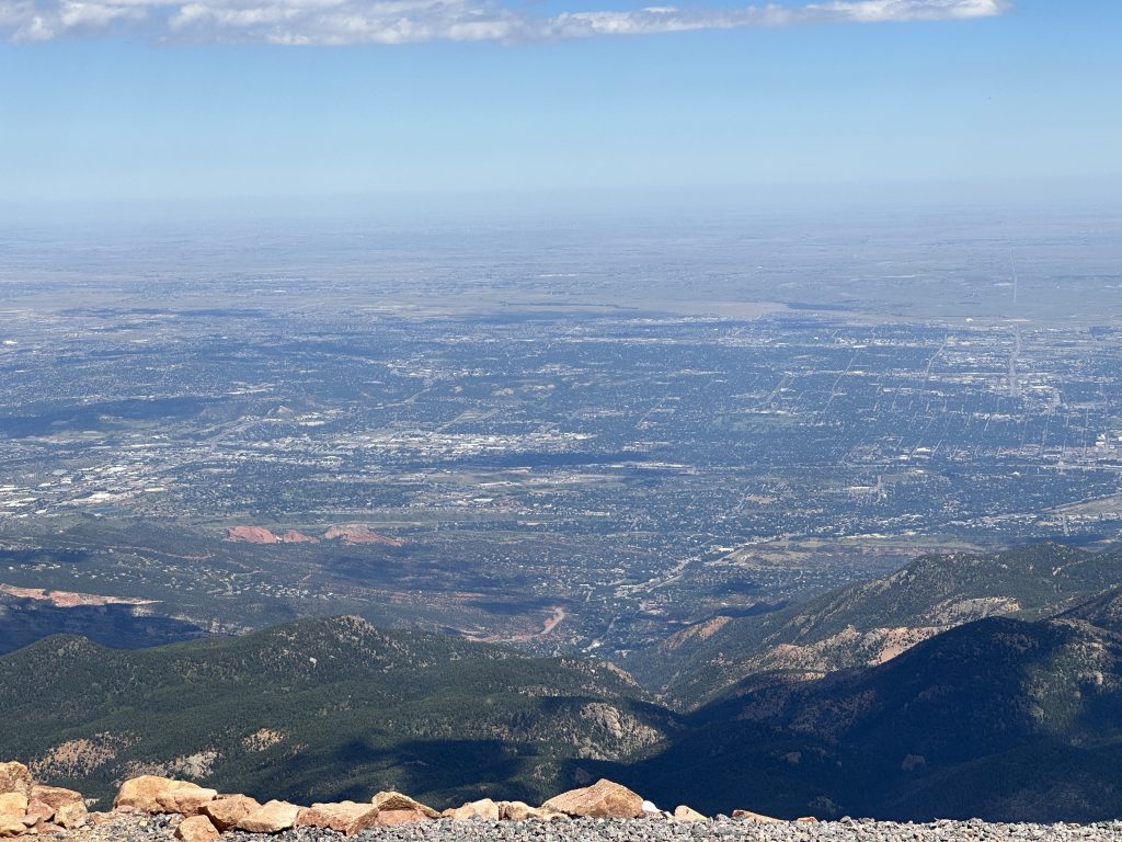
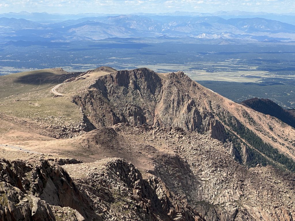
The Nightowl decided to peg its temperature gauge about halfway up the mountain, so I stopped for a few minutes to let it cool off (and to let the slow traffic get waaay out in front of me.) Luckily, I had a decent view and took some photos.
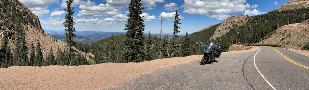
Back on the road, I managed to wait for a nice long time after an up-bound vehicle before the next one appeared. That long break got me further up the mountain without anybody in front of me. Riding at a faster pace meant more air through the radiator. I did finally get stuck behind slower traffic near the top, but I was able to reach the summit and find a parking spot before the Nightowl pegged its temperature again.
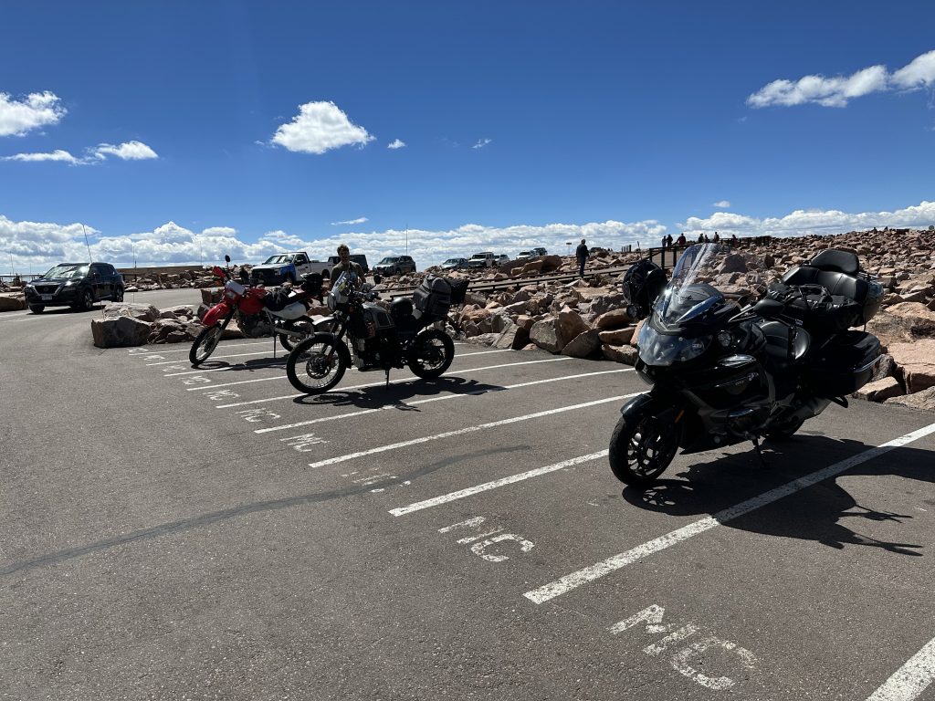
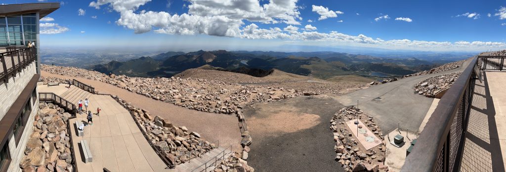
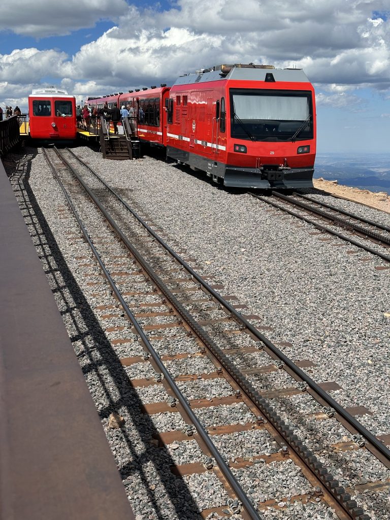
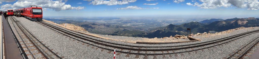
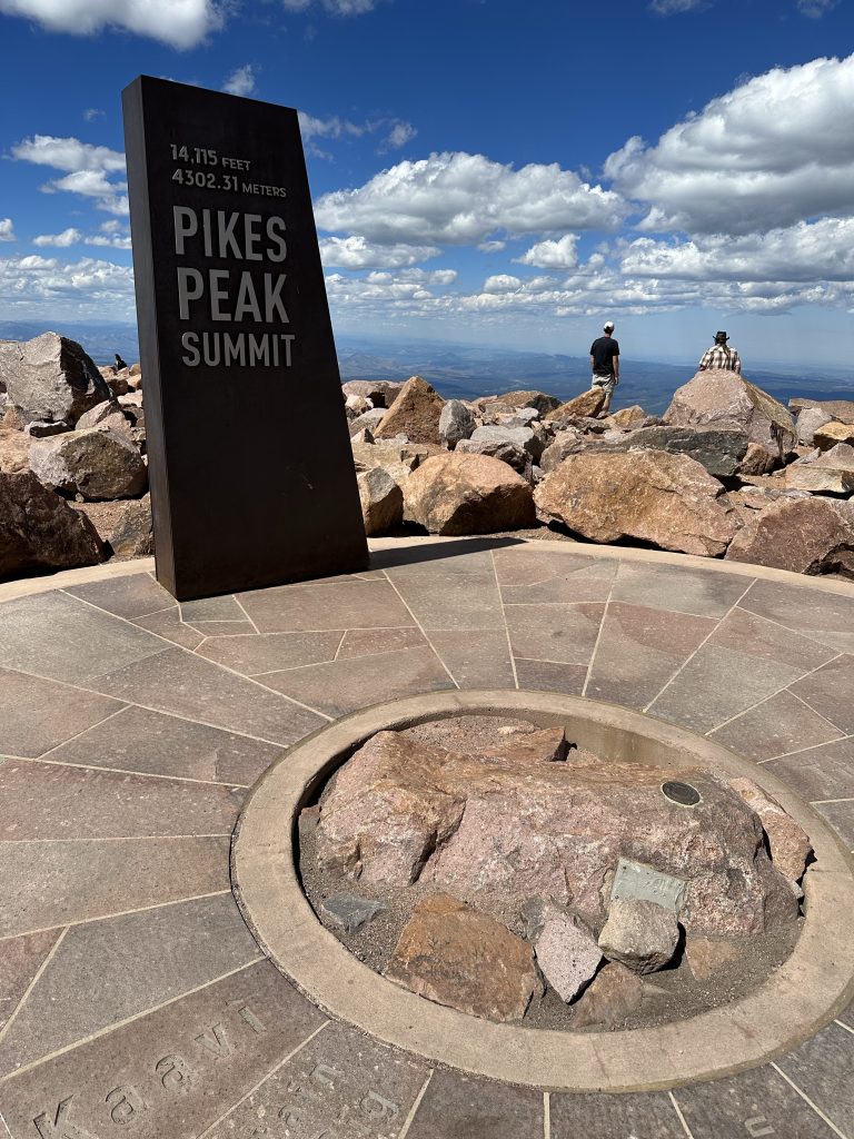
Everything at the summit of Pike’s Peak is different from when I was here last, but that was 25 years ago (1998). During that trip, the Pike’s Peak Highway was only paved halfway. Now the only gravel is in one little part of the parking lot up top; everything else is paved (apparently, this was finished in 2012). The visitor center is much nicer now too. I also noticed that there are two different cog rail trains that run the track to the top. The old one is what I saw the last time I was here. The other looks brand new.
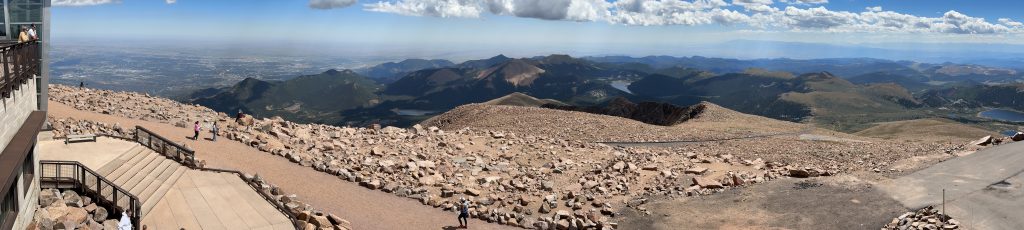
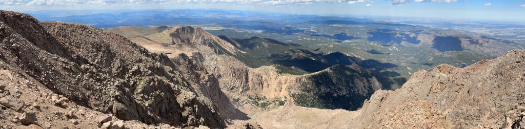
I walked around the paths on the summit and took a bunch of photos.
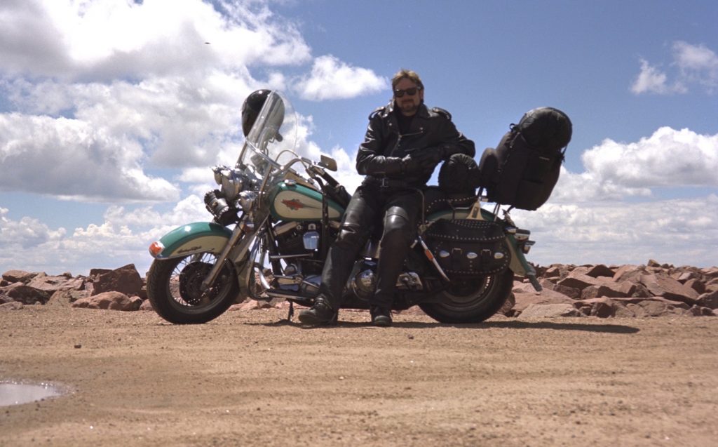
Before heading back down the mountain, I rode the Nightowl over to that last remaining gravel parking lot at the summit. I was there to recreate a photo I took here in 1998. That was on the Cruiser. I was on my way home from Run to the Sun II and Sturgis (at Penny and Skiv’s). (Naturally, I rode home from Sturgis by way of Monument Valley in Arizona.) Here’s the 1998 photo.
And here’s today’s photo.
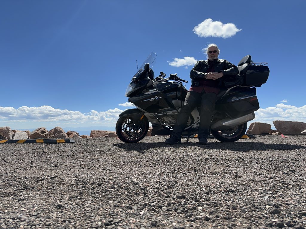
Like most recreations, it kind of sucks, but it was a spur-of-the-moment decision.
Aside: While nearly everything in these photos are different, I’m wearing the same pair of chaps(!) in both photos. They were purchased at Sturgis in 1997.
I was able to fly down the mountain, seemed to take 1/3rd of the time going up. Those gnarly switchbacks are even more sphincter-clench-inducing on the way down.
Back on US24, I rode through Colorado Springs without too many delays. There are more stoplights than I remembered, but rush hour hadn’t quite started.
I stopped for gas in Limon. Checking my watch, I’m now confident that I’ll make Ogallala, so I make a motel reservation for the evening.
Leaving Limon, I momentarily ignored Scenic (my GPS app) and turned the way I thought I needed to turn instead of the way Scenic knew I needed to turn. I eventually corrected the error and found CO71 north.
CO71 had several one-lane-road sections, some of which warn that you may sit there 15 minutes. Ugh. I consider myself lucky that I never sat more than about 5 minutes.
During this stretch of CO71, some ass hat in a burgundy pickup was following me. He’d get close, not pass, drop back, get close again, lather, rinse, repeat. I tired of this and hammered it leaving the town of Last Chance (yes, that’s an actual town name). He never caught up again.
I merged onto I76 at Brush, Colorado. The traffic density was very light and the pace was very fast. The miles ticked away quickly.
There is still that section of I76, from (about) mile marker 130 to 150, where the right lane is badly worn and undulating to the point of being obnoxious. This is true in both directions. Nearly everybody traveling this stretch switches to the left lane because it’s soooo much better. Note that this is something that hasn’t changed in the last 25 years.
As I neared the Colorado/Nebraska border, the sun was setting in my rear view mirrors. The sunlight was dodging around a few thunderheads that were forming to the west. The broken pattern of waning sunlight dictated a similar broken pattern to the Belt of Venus that formed on the eastern horizon after sunset.
As the sky darkened and I switched from my sunglasses to my normal prescription glasses, I caught a blob of color on the horizon to the southeast. It was just barely discernible at first, but slowly became clearer. It was the full moon, creeping out from the eastern horizon and reflecting the pinkish/orange colors of the recent sunset. I watched the moon rise as I rode. As it gained brightness, its color faded to the normal pale white.
I thought I was going to lose an hour towards the end of today’s ride. Lucky for me, the transition from the Mountain to the Central time zone is located about 26 miles further east of Ogallala. Good news for today since that means I’m much more likely to find a place to eat dinner a little after 8pm instead of a little after 9pm. Bad news is that I’ll lose that hour tomorrow during my marathon slab blast east.
Exiting I80, I pulled into the Travelodge parking lot and checked in.
After the Ride
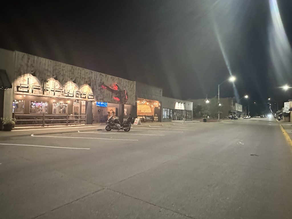
I lugged my bags to the room and turned on the air conditioner. Then I sat down to find a place to eat. I decided on a place called Driftwood. It was downtown, which was about 1.5 miles away.
The ride was easy, just across the bridge over the Burlington Northern Santa Fe (BNSF) main line; it happened to have a train go by as I waited at a stop light in downtown.
I entered Driftwood and found that I was one about five customers in the entire place. I ordered some steak and veggie soup, and a burger with bacon, BBQ sauce, and an onion ring.
Since I was the only one left ordering food, it arrived quickly. This place is a sports bar, so there are TVs hanging from every wall in the place. Consequently, I had plenty of things to watch as I ate dinner. I was out of there shortly after closing time: 9:10pm.
Walking out to the Nightowl, I noted that I was literally the only vehicle parked on that street. I took a photo of the setting as yet another train thundered through town.
The ride back to the hotel was just as quick as the ride to dinner. I parked for the night and ducked into my room to write up this report.
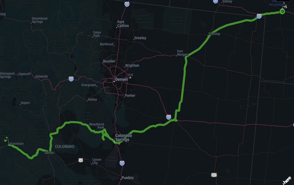
Map
Here’s a thumbnail of today’s route. Click on the image to load a interactive page with more metadata.
Tomorrow
Dinner at the Machine Shed in Davenport, Iowa. That’s a long way away, but it would leave an easy ride home the following day.