The is the second day of the ride home and covers a fairly lonely crossing of the rest of Nevada. One in Utah, I revisit a national park and dodge just over the Arizona state border.
Pre-ride
I’d gotten to bed fairly early the night before, so it was no big surprise that I was up and moving around before 8am. There were two bathrooms shared by the eight rooms in the hostel. This sounds a bit tight or full occupancy but last night there were only three of us. Me, a guy who only watched TV and got locked out (I let him back in), and a woman who only seemed to come out of her room to let her dog out and smoke cigarettes. Her dog looked like a chow/husky mix and liked to hang out in the corner of the hallway. In any case, none of the other occupants seemed inclined to monopolizing the bathrooms, so I never had to wait for access.
After a quick morning shower, I got dressed and packed up the Nightowl. I still needed to fix the hydration pack, which I compromised yesterday when my inattentiveness caused it to lose the bite valve on the end of the hose. I could still carry water in it, but I needed to be careful about how high I tied the hose on the jacket or all the water would run siphon out of it. I was hoping to find a sporting goods store that carried Camelback accessories (the brand of my hydration pack) because their four-pack of replacement bite valves is exactly what I needed right now (one for the repair and the other three on standby on the Bike for future mishaps).
The weather was yet another day of bright sunshine and flawless blue skies. It was already in the upper 80s F and would be sure to go higher as the day went on.
The morning ride
I stopped at a western outfitter on my way out of town to check for replacement bite valves. He had none, but gave me two possible providers in Saint George, Utah, which I would be passing through later in the day.
Cool.
I topped off with gas and pointed the Nightowl up US6 north out of Tonopah, Nevada. Riding this stretch of US6 is a lot like riding US50 in Nevada. Run through a mountain pass, across a plain of desert, and repeat. In the ~50 miles (80 km) between Tonopah and the start of the Extraterrestrial Highway (Nevada 375), there are no less than three ranges of mountains to pass through, all over 6,000 ft (1,830 m) high at the summit.
Shortly after the first pass, you cross the desert flat that is the location or the old Tonopah airport. There’s nothing remarkable about this airport, except for an excellent old ruin of an aircraft hanger. I drove past it, considered the missed photo opportunity, and turned back to capture it with the camera.
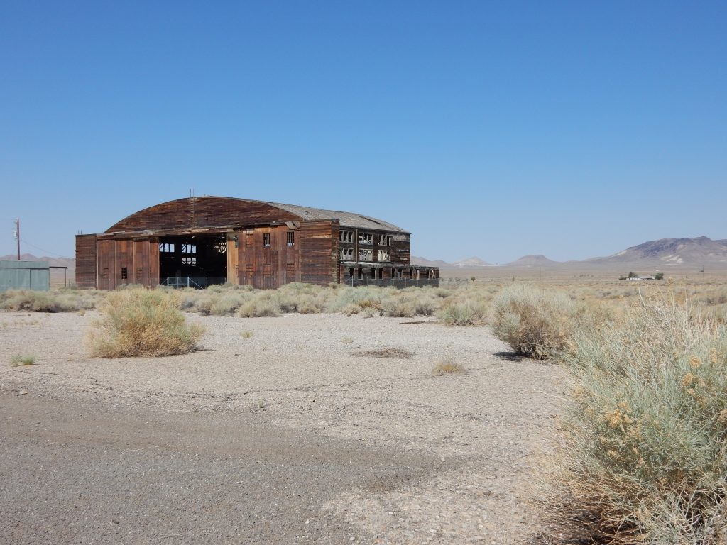
Heading back to US6, I neglected to get a hold of my hydration pack hose and before I realized it, the pack was empty, having drained out the hose and onto the airport road.
Shit, hell, damn.
I sat at the end of the airport road at US6 and looked both ways. My path was to the right, in the direction of about 90 minutes of near-empty desert roads before I get to the next town (if you can call it that): Rachel. Crossing that much desert highway with no water was an exceedingly bad idea. If I wanted to replenish my water, I needed to ride the 12 miles (19 km) back to Tonopah, and then (for all practical purposes), restart my day from scratch.
I decided to take the chance and ride on. Dumb, yes, but the bike had been reliable and I was fairly confident that I would find water in Rachel.
The rest of the ride up US6 passed quickly; I nearly had the road to myself so the pace was good. Almost before I expected it, it was time to turn right on Nevada 375, also know as the Extraterrestrial Highway.
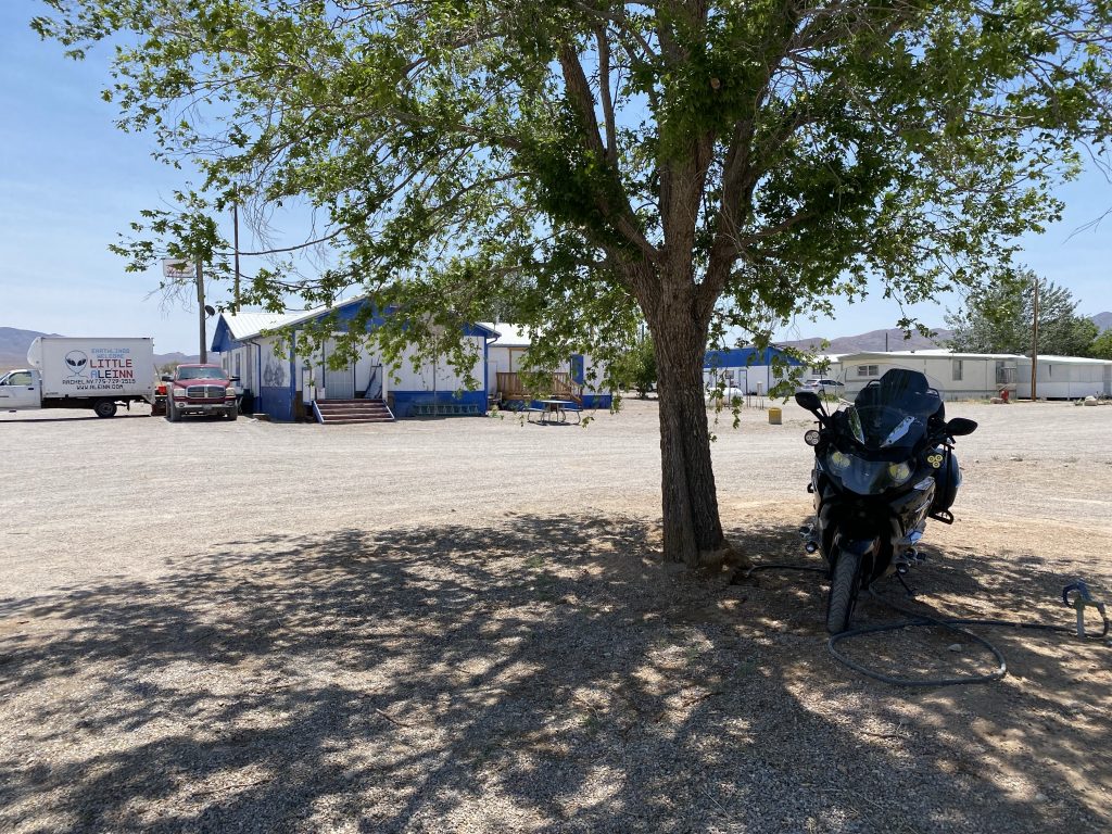
Nevada 375’s name comes from the nearby Area 51 secret government air base. The base itself is far from any highway, but 375 is one of two that comes close. There are a smattering of farms in the lowest valley along 375 and that is the location of Rachel, which isn’t much more than those few farms and the Al-e-Inn restaurant and bar.
On most days, I wouldn’t stop in Rachel, but today I needed to replenish my on-board water supply. As I circled the Al-e-Inn looking for a shady spot to park the Nightowl, I noted that it was about 11:30am, so if they had a descent food offering, I might pick up lunch as well. I found a shady spot and walked towards the front door.
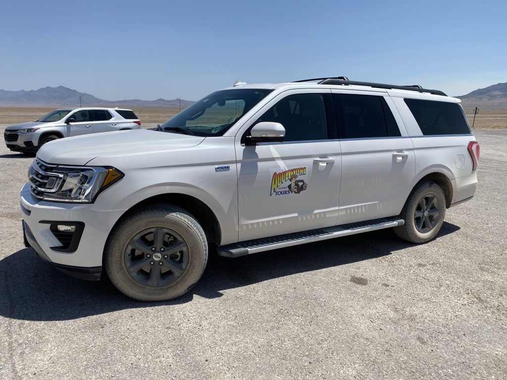
In the parking lot were two nice Ford Expeditions, the longer body ones. Each one had a sign on the front doors: Las Vegas Adventure Tours. I was intrigued. I opened the door and walked in.
For anybody who’s seen the comedic science fiction movie Paul, there’s a scene where the geeks traveling together eat at the Al-e-Inn. That was a studio set, but based on what I saw in the movie, they used the real Al-e-Inn as inspiration.

To the left of me were a set of tables for dining customers, an area bordered on two sides with clearance racks of extraterrestrial and Area 51-themed clothing. Past the dining tables was a single pool table that looked like it hadn’t had its cover removed in a good while. Past the pool table was the rack of the latest extraterrestrial and Area 51 clothing. To the right of me was the bar and behind that was the cash register next to shelves full of every alien-themed knick-knack you could think of. Coffee mugs, shot classes, refrigerator stickers, post cards, t-shirts, hoodies, coloring books, etc.
Bustling through all of this was a single waitress. I say bustling because there were no less than 15 people at the tables in various stages of ordering or eating a meal. I guessed that most of them were from the two adventure tour SUVs. The waitress spotted me and told me to sit anywhere. I sat at the bar.
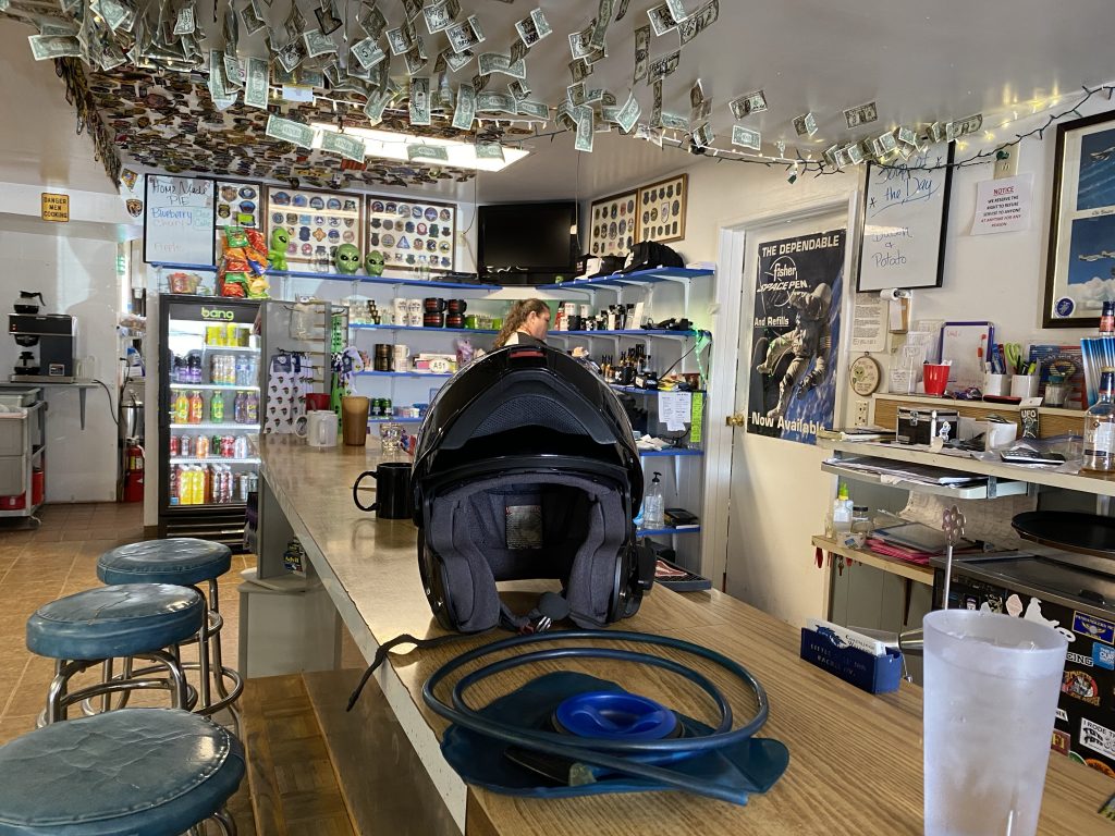
I ended up ordering a grilled cheese with turkey and a side of macaroni salad. While consuming the feast, I sucked down no less than three large glasses of ice water.
When it was time to pay, I flirted with the idea of getting Area 51 or alien shot glasses for my teammates at work… but I resisted the temptation. The waitress and I coordinated a rather clumsy filling of my hydration pack and I exited the Al-e-Inn.
The afternoon ride
About a half-hour east of Rachel is Caliente, a Union Pacific railroad town with a small yard and a very nice train station with classic Mexican architecture.
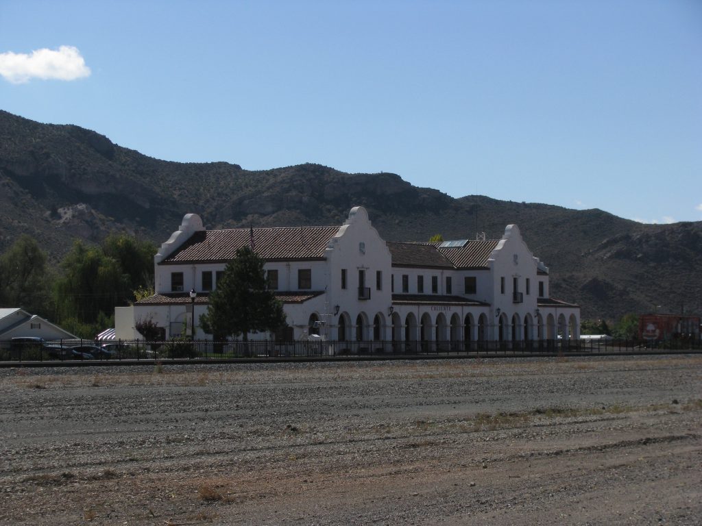
I topped off with gas in Caliente because I’d been encountering some headwinds and the next towns may be too far down the road if the headwinds continue. I turned east at Panaca and then it became decision time.
One of my favorite crossings of Utah is to reach Cedar City, cross over to US89, take that north to Utah highway 12, and follow that all the way to Torrey. Then I’d turn east towards Hanksville, and then southeast on Utah 95 all the way to US191 and north to Blanding. I could have certainly done this again, but I was itching to ride a different route.
I was thinking that the most likely place to find the replacement bite valve for my hydration pack was to go to St. George, Utah. That would mean riding to Cedar City and then turning south on I15. However, an alternative would be to take Utah highway 18 south from the road I was on to St. George directly and avoid the Interstate. On the map, Highway 18 was even marked with the little dots that indicated a scenic road.
Sold. Highway 18 it is.
Highway 18 was quite enjoyable. It’s more rolling than the desert flats I’d been enjoying thus far. It was also greener; the region must get more rainfall. When you approach St. George, you pass Snow Canyon, which looked fairly spectacular from the road; alas, I did not take the time to venture into the state park.
Once in St. George, I’d dropped out of the upper elevation and the heat was back with a vengeance; 111º F.
Ugh.
I stopped at a gas station, but without any intention of buying gas. I purchased some Vitamin Water and an ice cream bar and consumed them in the shade next to the convenience store.
There was a local resident smoking a cigarette and I asked him where the sporting goods store was. He gave me very convoluted instructions on how to get there, which is confusing since St. George isn’t that big. He closed with the same of the target establishment: Sportsman’s Warehouse.
I simply entered that business name into a navigation app on my phone and proceeded to ride to the Sportsman’s Warehouse. It turns out that the helpful local’s instructions weren’t that convoluted at all; the actual route itself was extremely convoluted. I had to backtrack three times along the route because the maze of bypasses and interchanges in this little town were so ridiculously complex that it was near-impossible to follow. I did eventually get there and, sure enough, Sportsman’s Warehouse had exactly what I needed.
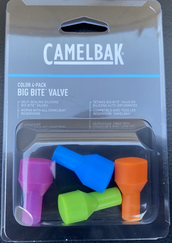
It was now around 3pm and time to figure out where to end the day. Page, Arizona was still anywhere from 150-180 miles out, depending on route, and that seemed like a good stopping place.
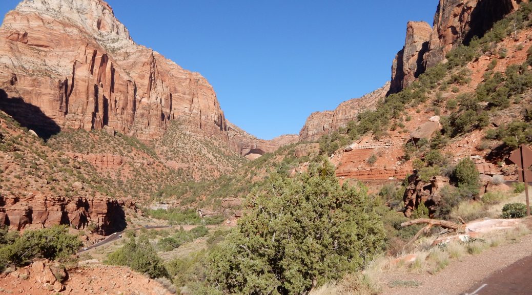
I chose the route that was longer, but more scenic; I’d go up the mountain to Zion National Park, ride through, and then stay on US89 though Kanab and on to Page.

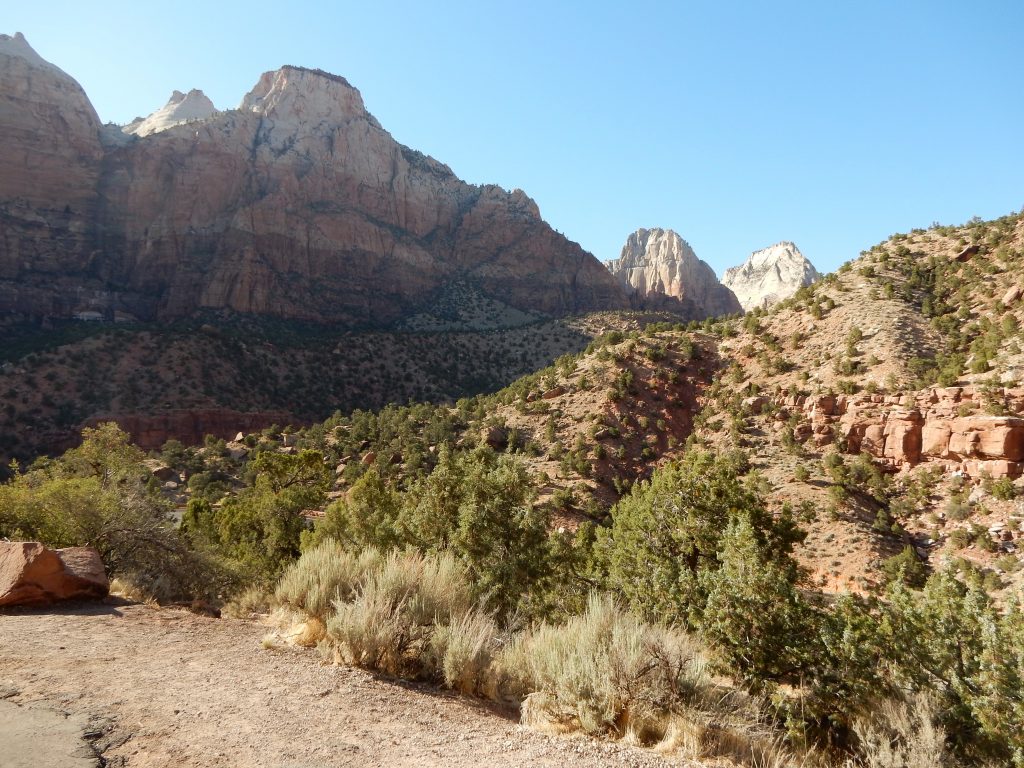
Aside from some overheating problems of both the iPhone and the Nightowl while climbing the canyon at Zion, the trip went off without a hitch.
Post-ride
There were two requirements:
- Food
- Swim
This Super 8 hotel had a pool that closed at 10pm; it was almost 8pm now. Unfortunately, 8pm as also the closing time for most of the restaurants in this area (at least on a nice boring Monday night). Luckily, there was a Fiesta Mexicans restaurant nearby that was open until 10pm.
Aside: I barely know what time it is since today I went from Pacific daylight time to Mountain daylight time, to Arizona time, which is Central-but-without-the-hour-for-daylight-savings time.
I was able to gobble down a Chicken Fajita Burrito and a Patron Margarita in fairly quick time. That left me with enough time to take a swim back at the hotel before the pool closed at 10pm.
Map
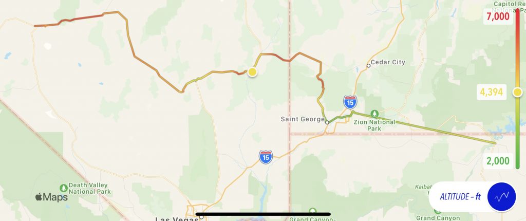
Today’s map, with a altitude overlay. The iPhone overheating caused a gap in the track data towards the end, starting in St. George, where the temperature was 111º F.
Video
A video is forthcoming… I promise. The hotel WiFi is so slow that it can’t push 12 minutes of 4K video in anything less than several hours. Ugh. I’ll try and push it when I get a better connection to the outside world.
Geek Stuff
The hotel WiFi did not cooperate last night. It seemed quite capable of downloading but uploading was a total failure. I was able to get this post text pushed through to the blog, but none of the photos would go. I tried again in the morning and found uploads much more successful. Some download-heavy setting in their router? <shrug> At least I finally got them pushed through.
Tomorrow
Good question. I think I cut over through Monument Valley, up the Moki Dugway, and over to… well… I don’t know. Blanding? Monticello? Down to Ship Rock and Chaco Canyon?
I’ll figure it out in the morning.

One thought on “Redbeard Cruise – Day 11”