The map, post summary, statistics, and photo gallery for the Memphis Cruise.
Map
Here is the map for the Memphis Cruise. Click on the routes on the map to navigate to the trip report for that day.
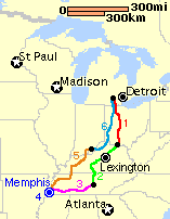
Retrospective Note (2016): Back in 1997, Apple Maps and Google Maps didn’t exist yet. Consequently, the map is tiny and based on a screen shot of a MapQuest map.
Posts
- Memphis Cruise Preview
- Memphis Cruise Day 1
- Memphis Cruise Day 2
- Memphis Cruise Day 3
- Memphis Cruise Day 4
- Memphis Cruise Day 5
- Memphis Cruise Day 6
Statistics
Total number of days: 6
Total miles: 1,807
Shortest Day: 62.9 miles (Day 4 – Around Memphis)
Longest Day: 400 miles (Day 6 – Corydon, IN to Ann Arbor, MI)
Average Miles/Day: 301.2/day
Number of States/Provinces visited: 5 (MI, OH, KY, TN, IN)
Average Miles per Gallon: 43.12
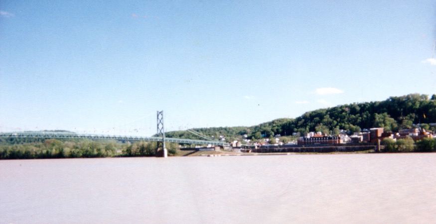
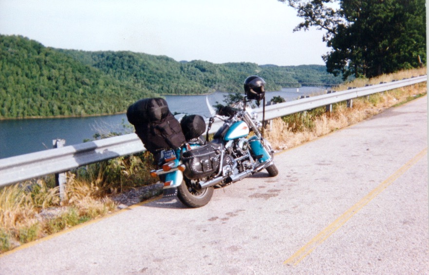
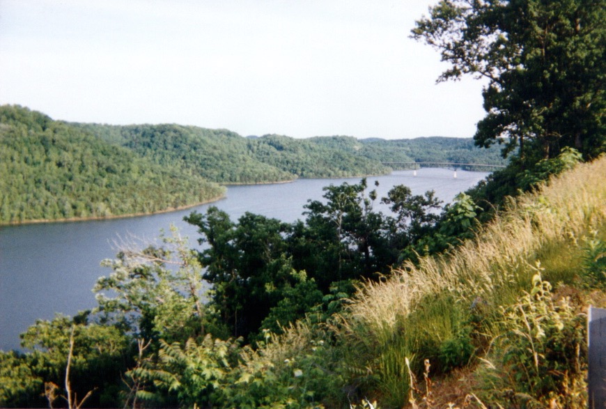
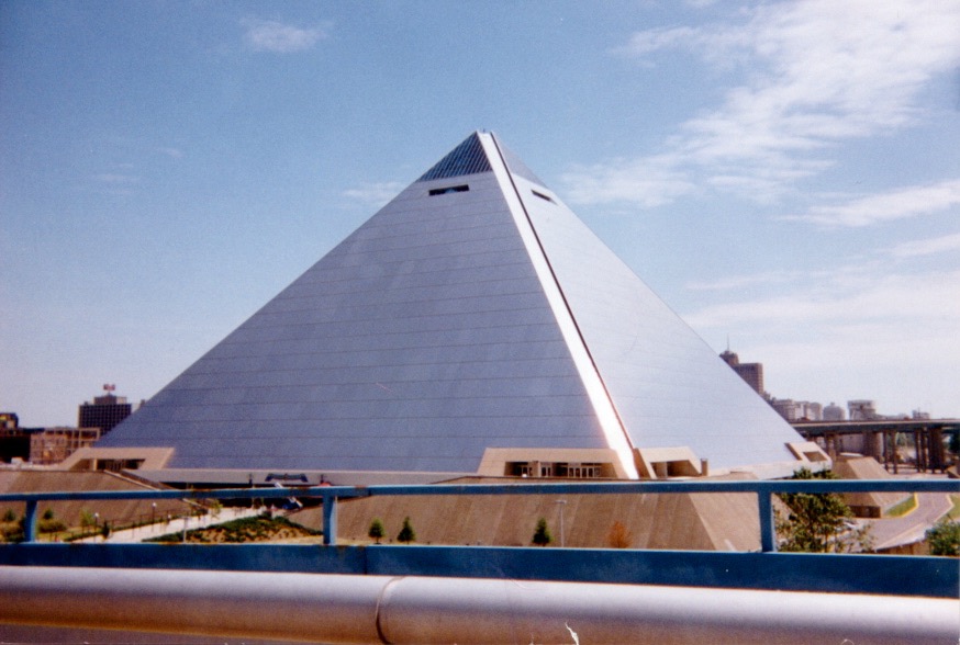
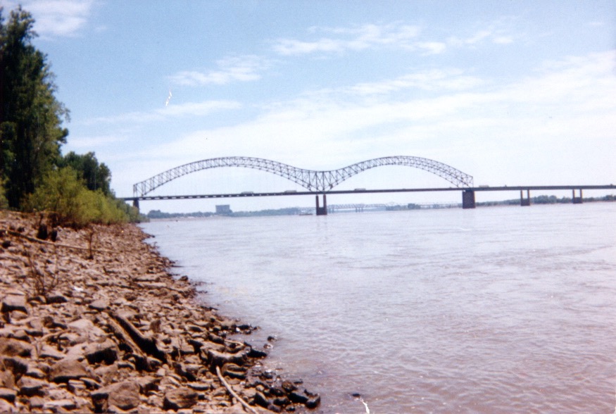
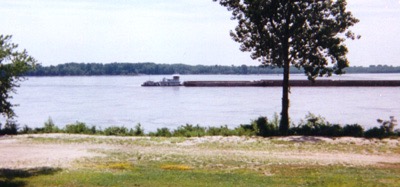
Photos