
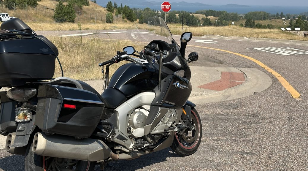
I visit several cities/towns that will appear on my model railroad layout, trying to capture background photos, and there are unanticipated challenges that prompt a change of focus.
Pre Ride
I slept fitfully and woke up late. This isn’t a complete disaster since I was going to try and capture the Missoula rail yard background photos before I left town, and I need the sun higher in the sky to eliminate long shadows. I was figuring a 10am start, and that’s about what I got.
Sleeping late meant that I missed breakfast, but I ate too much at The Montana Club the night before. Consequently, missing breakfast was probably a good thing.
Aside: This Super 8 has added waffle maker since my last visit, and I was looking forward to using it. Alas, c’est la vie.
The Ride Around Missoula
In an effort to traverse the Missoula rail yard, I had to pay a visit to several northern neighborhoods in Missoula. Unlike some railroad yards that are towards the outskirts of towns, the Missoula yard, while original built on the north side of town, had the town grow up around it. Now it’s buried between residential neighborhoods to the south and industrial parks to the north. Consequently, I had to weave round dozens of streets to try and parallel the yard, which (naturally) is straight as an arrow but at an angle off from the streets around it. Most of the time, I was taking photos by holding the phone high over my head to avoid getting the safety fence in the foreground. When that didn’t work, I got to reach through the strands of barb wire at the top.
Here’s a few examples of the shots that I was going to try and piece together later:
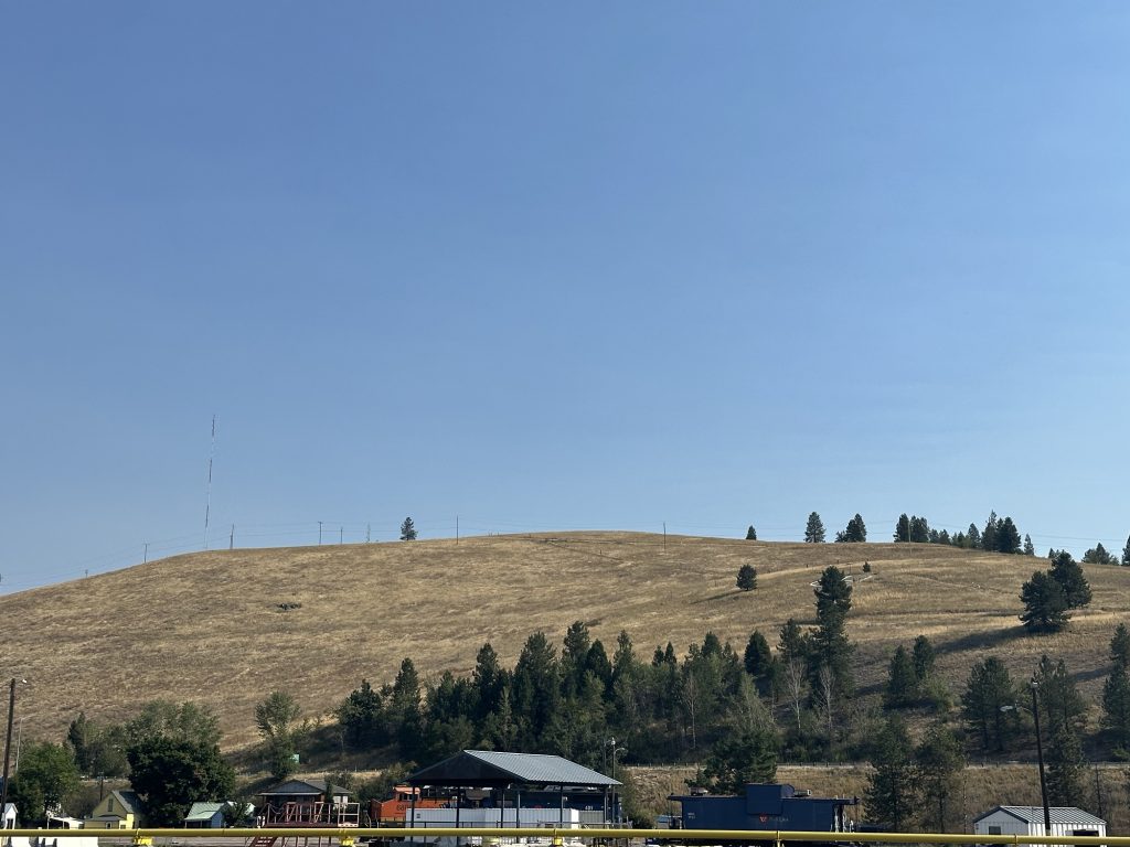
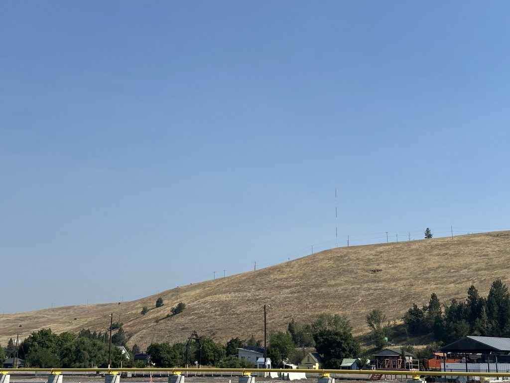
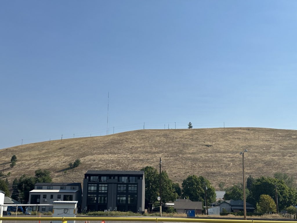
Unfortunatley, after spending an hour on this task, I encountered a view block and I was unable to look over without a small crane. Naturally, this view block happened when I reached Railroad Street, which perfectly parallels the yard and would have yielded perfect results without the view block.
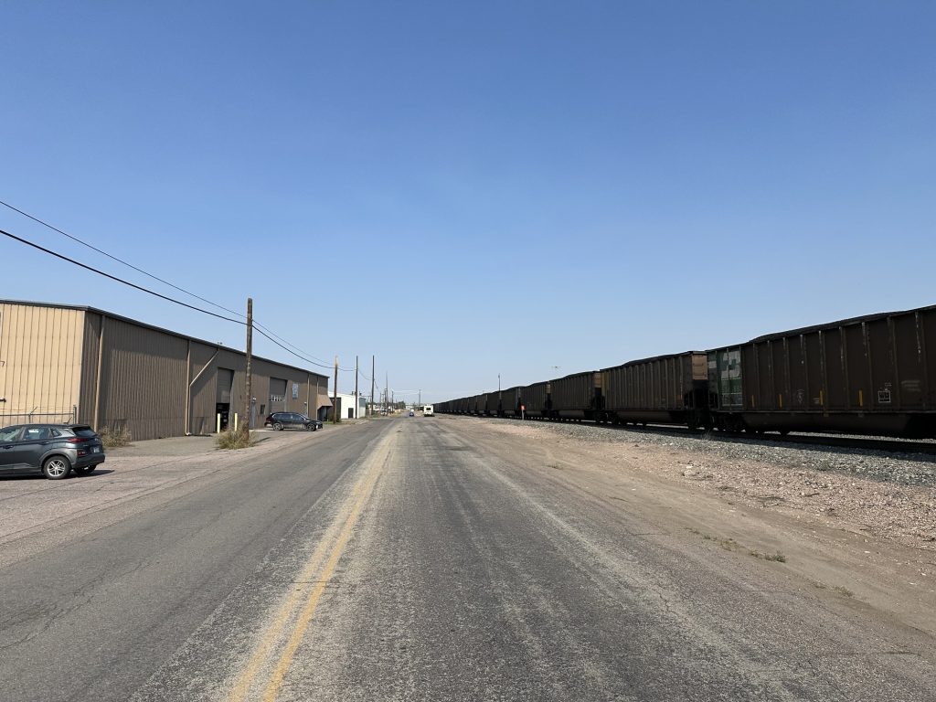
At this point, I accepted that the photos that I had (many more than the three examples above) were going to be all I was going to get for the Missoula Yard.
The Ride to Polson
One of the planned features on my model railroad will be the Polson Branch, which departs the main line at Dixon and dead-ends at an old yard in Polson. That original (old) yard was abandoned long ago when most of the logging industry around Polson dried up. It could have also had something to do with the nasty grades down into Polson, which is on the south shore of Polson Lake. In any case, the entire Polson branch was abandoned several years ago when a bridge washed out. Rather than repair the bridge, the railroad elected to abandon the branch.
I, however, will feature the Polson Branch on my layout, so I need to see if I can get some background photos for that part of the layout.
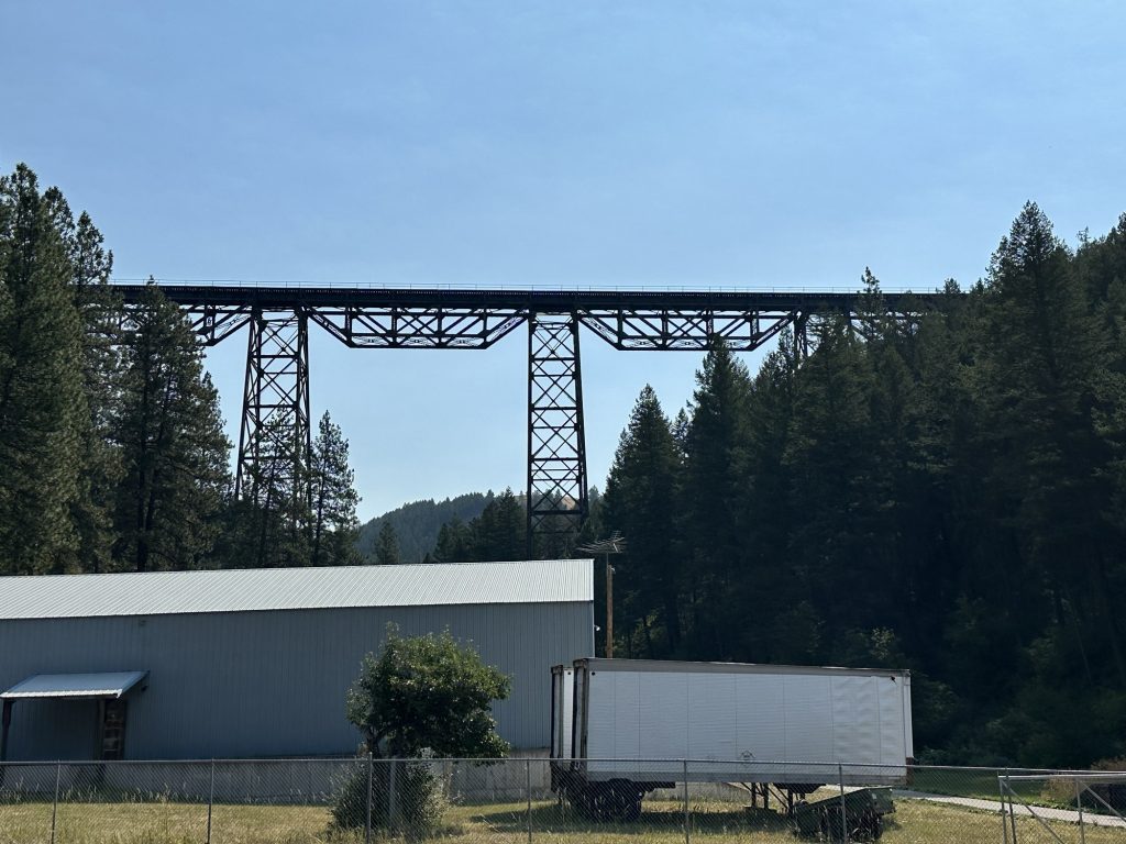
I left Missoula to the west, but only just barely. Then it was north on US93 towards Polson. This route climbs Evero (pronounced ever-oh) Hill, where the railroad makes a long 2.2% climb through some fairly tight curves, eventually emerging at a high bridge over the Marent Gulch.
Most travelers on US93 pass Marent Gulch without even seeing the bridge; it’s so high in the air, most miss it. In fact, I missed it, and had to double back to take the following photo:
Several miles north of the trestle, US93 and MT200 split. MT200 follows the path of the railroad, which US93 heads north to Polson, picking up the Polson branch a few miles after the split.
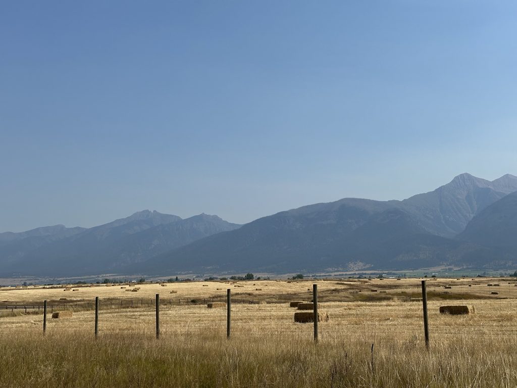
This stretch of US93 follows a ridge line of mountains, which lie off to the east a mile or two. Since these background mountains are in the distance, I can capture them without having to stop every 100 yards. Here’s an example of three background photo candidates that I’ll combine later:
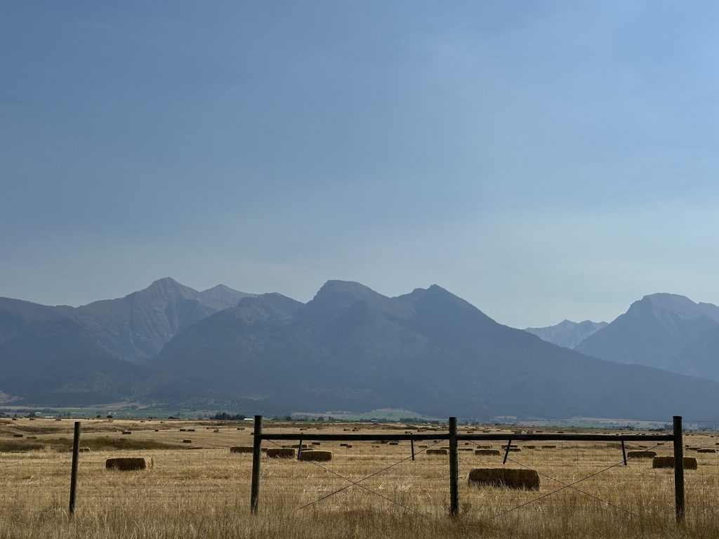
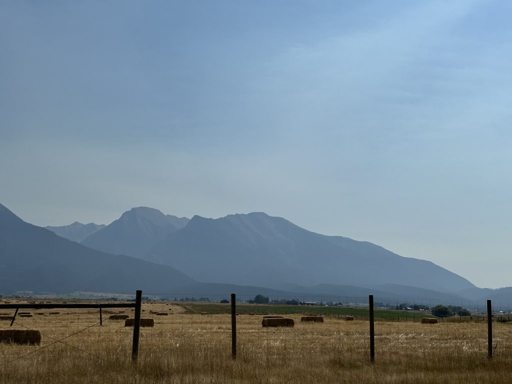
I capture several sets of these, but here’s another set that I though will combine well:
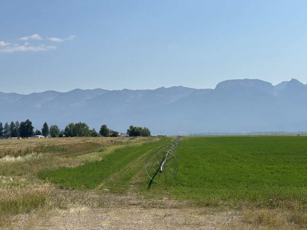
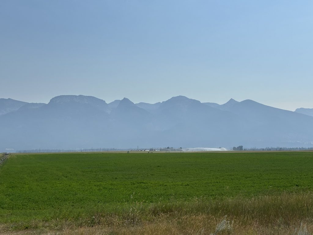
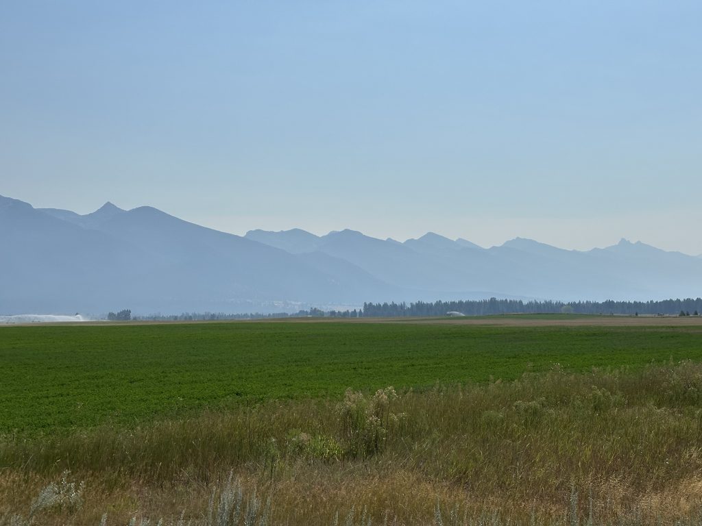
In the town of Ronan, I diverted west of US93 to track down the actual right-of-way. Since it was abandoned, much of it is overgrown, but the crossing gates still exist. You can see on of the crossing gates in this photo of an especially tired old grain elevator.
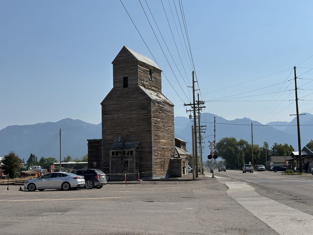
A bit north of Polson, I saw that the road was beginning its descent down to the lakefront. I knew that the old branch terminus was somewhere near here and found it about a 1/4 mile west of US93. In old satellite views, it was just a pale remnant of the even older yard down in Polson proper. The downtown yard had a depot, freight house, turntable, and wye. The later yard only had a few team tracks, and one spur to a propane distributor. Today, I had to look pretty closely to find the tracks for the later yard, though a one-car concrete loading ramp still stands. With so little to see, I didn’t bother with any photos.
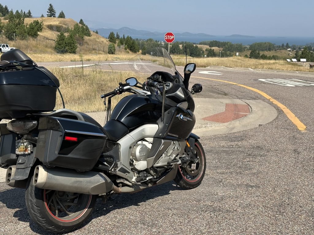
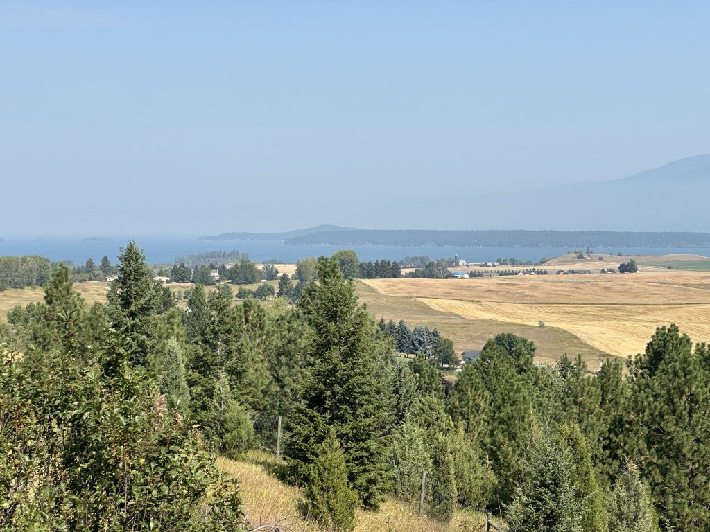
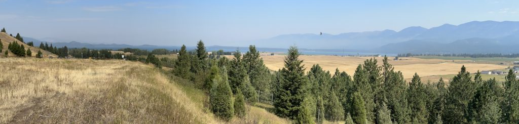
On the descent into Polson, there’s a scenic viewpoint. Here are some views of Polson Lake from that viewpoint.
I’d considered having lunch in Polson (it was 12:30pm), but the only non-chain restaurants I found were all for take-out (hot dogs, Chinese, etc.). I did explore downtown a bit and found the old (original) rail yard. It’s grown over and basically looks like a vacant lot, but I was able to find the old roadbed for a wye, with reached up a city street off the yard. Supposedly, there’s still a pit for the original turntable, but I didn’t look for it very hard.
The Ride to Paradise
While this section sounds glorious, Paradise is a tiny town along the rail line that I’m modeling. It sits at the confluence of the Clark Fork river and the Flathead River, and also the confluence of the two parallel main lines that split just west of Missoula.
To get to Paradise, I had to backtrack south on US93 to the US93/MT200 split, and then take MT200 west to Paradise. This stretch through Dixon and Perma closely follows the path of the Flathead river. While the valley is broad along most of this route, about a 1/3rd of it is through canyons where the bordering mountain ranges are very close to the river. These sections are absolutely gorgeous and will be fun to model on my layout. Unfortunately, I already have plenty of photos (and others’ YouTube videos) to help me remember what it looks like.
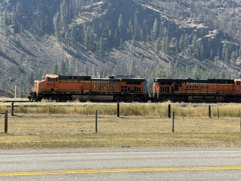
For this visit, there was an eastbound oil tanker train waiting on the siding. I took a photo of their locomotives.
The town of Paradise (if you can call it that) is underwhelming. At the moment, the only business there that I’ve ever seen open is currently boarded up and for sale. That pretty much leaves the yard office as the only going concern in Paradise. (Rest assured, it will be a more interesting location on my model layout.)
The Ride to St. Regis
Turning back east from Paradise and taking a turn south, I took a road that follows the Clark Fork river upstream (back towards Missoula). This is the route of the current BNSF main lines. It is also absolutely gorgeous. Along this stretch, the river valley is rarely much wider than the river itself, and the railroad right-of-way switches sides a few times, allowing for interesting bridges.
As it happens, I’m not modeling this portion of the route, so I didn’t take any photos.
Pulling into St. Regis, which will be the terminus of a branch line on my model layout, I return to the I90 highway. In need of something to drink and at least a snack after skipping lunch back in Polson, I stopped at an elaborate gas station/grill/gift shop contraption off the I90. I’m not a big fan of these tourist traps, but it’s the only show in St. Regis, and I needed to indulge in some air conditioning.
Per that last clause: it was hot again. After a nice, cool, morning, the afternoon had come with elevated temperatures nearing 90ºF. I rode around the parking lot and could not find any parking space in full shade, so I had to settle with one with partial shade from the sign for the place. I knew the sun’s movement would make this shade short-lived, so I strategically placed the Nightowl so the seat would stay in the shade the longest.
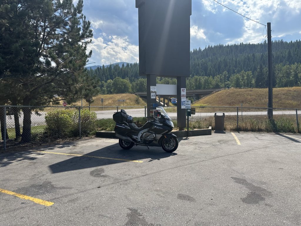
I picked up a Vitamin Water and an ice cream bar, and ate it on one of the chairs they leave in front of the restrooms for folks left waiting for their significant other whose taking much longer in the restroom. There was seating at the grill portion of the establishment, but I hadn’t ordered any of their offerings.
The Ride to Sandpoint
I originally intended to ride northwest to Sandpoint, ID to photograph the lakeside as a backdrop for my model of Sandpoint on my layout. Unfortunately, the two live webcams from Sandpoint that I checked earlier this morning showed that they still had quite a bit of haze from wildfires. Consequently, this portion of the day’s ride was scrapped.
The Ride to…?
That was the question: what to do next? It was Tuesday afternoon, and I didn’t have any target destination until Thursday evening at my friend’s place north of Rapid City, South Dakota. If I rode to Rapid City starting now, I’d get there too early. I needed a distraction along the way.
Given that I know this portion of the country pretty well, it only took about a minute to have a plan in place: I’d pay Bear Tooth Pass a visit on my way to Rapid City.
Bear Tooth Pass is to the southeast of my current location, so kind of (sort of) on my way to Rapid City. The pass itself was too far away to visit it still today, and you really don’t want to ride Bear Tooth in the dark (ask me how I know).
I could, however, ride most of the way to the pass this afternoon, have a nice ride through the pass on Wednesday, and leave myself an easy ride over to Rapid City on Thursday.
Easy.
I scoped out how far I wanted to still ride today (the heat was a bit draining, even with my nifty synthetic riding suit), and decided that Bozeman, Montana was a good stopping point. So, back on I90 I went, this time eastbound.
The Ride to Bozeman
This was largely a back-track of the ride that I made westbound yesterday. (Yesterday? It seems like days ago.) The difference was two-fold:
- Bad news: it was hotter today, and…
- Good news, I wasn’t riding into the sun.
I topped off the Nightowl’s gas tank in East Missoula, which should give me enough range to reach Bozeman without having to stop again.
Paralleling the BNSF mainline again, I saw two trains that I’d seen yesterday. Once again, I had to remind myself that those trains were not horribly delayed; they were just passing through the next day. One was a long drag of flat cars with lots of military vehicles, and some shipping containers. The other was the mixed freight I saw yesterday with two Boeing 737 fuselages just behind the front end power.
The cloud cover got a little more ominous as I approached Butte. A quick check of the radar showed a few rain showers, but nothing heavy like I was dodging back in North Dakota. I would end up splitting the two showers, and only getting a bit wet from lingering road spray kicked up by other traffic.
East of Butte, the passes started. They were all clear of construction zones and not very congested, which afforded some spirited riding up and down the mountains.
I arrived at my motel at about 6:45pm. Plenty of time to move into my room, throw some water on my face, and venture out for dinner.
Post Ride
I had scoped out a Mexican place near the hotel, but more than walking distance. Back on the Nightowl for the short ride to Albertano’s, only to find that it was another take-out joint. Fortunately, there was The Club Tavern & Grill across the parking lot.
At the Club, Hayes set me up with their variation of a whiskey and huckleberry drink, a tall glass of water, and a bowl of Cajun pasta with chicken, shrimp, and andouille sausage. It was pretty tasty. This time, I had the will power to say no to dessert.
Back to the motel to write up this report.
Map
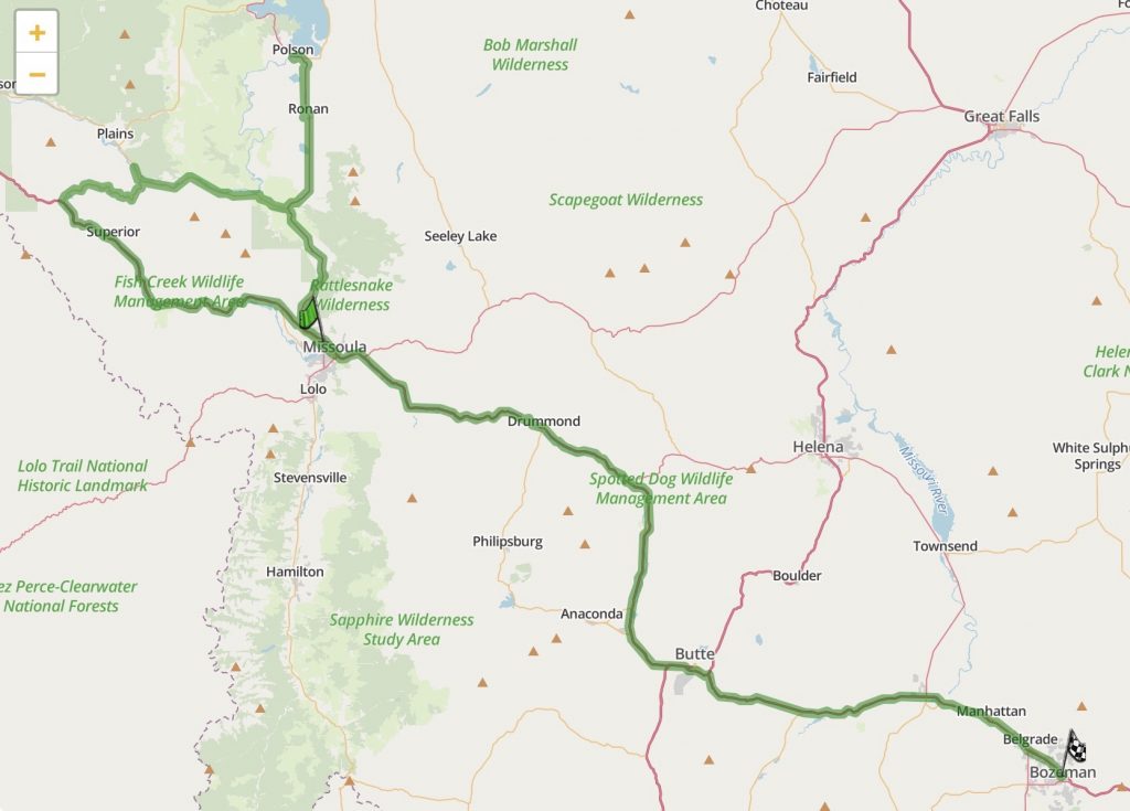
Today’s map is a little chaotic, with the double-back at Polson and the loop back around to Missoula after I scratched the ride to Sandpoint.
Tomorrow’s Plan
I90 east to Columbus, south through Absarokee (my favorite back way into Red Lodge), through Bear Tooth Pass, and doubling back east on the Chief Joseph Scenic Byway. I’ll probably end up somewhere in the high plain dessert. Most likely Cody or Worland. Perhaps Buffalo if the day goes well.