
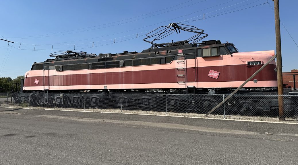
I finally reach the area of the Rocky Mountain Division (RMD) and start taking photos.
Pre Ride
Not much to say.
I was still ~375 miles () from Butte and needed to take photographic advantage of the day’s beautiful forecast. Consequently, I was motivated to get an earlier start.
I woke up at 7:30am, scoped the weather, showered, packed, gassed up the Nightowl, and was on the road a bit before 9am.
The Ride
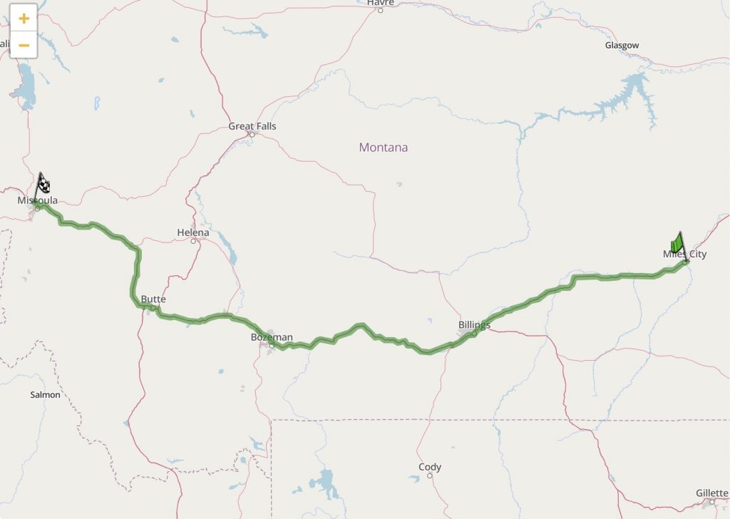
The route for the day was painfully simple: get on I94 west, follow it until it ends, where it merges into I90, and subsequently follow I90 to Butte.
Butte is where I need to start taking photos that can pass as a backdrop for a location on the model railroad that I plan to build. While some locations are generic that just about any photographic backdrop of similar terrain will do, other locations are unique. Butte, Missoula, Polson, Sandpoint are all unique locations with a distinctive surrounding mountainous skyline. These locations deserve the extra effort of trying to get actual location photos.
The stretch of I94 in eastern Montana is not very well traveled. I rode almost 130 miles () and only passed about a dozen vehicles going in the same direction. With the cooler temperatures (below 80ºF – ?ºC), and the vents on the riding suit open, the lack of traffic made for a relaxing ride. My rotating playlist of personal favorites filled my ears, and the southeastern Montana scenery filled my eyes. It was a nice little bit of Zen.
Another benefit of this route is that it parallels both the Yellowstone River and a BNSF railroad mainline. While I only saw one train, a manifest freight heading east, the river kept me company for much of this stretch.
By the time I reached Huntley, about 5 miles before I94 converges with I90, the traffic picked up. It wasn’t so congested that I was forced to slow my pace; it just wasn’t as relaxing.
West of Billings, I90 starts going over the passes which will culminate by crossing the continental divide in Homestake Pass just east of Butte. I thoroughly enjoy this stretch of road, even though it’s a four-lane, because of the scenery and the multiple passes. Having said that, I haven’t actually travelled this stretch of highway in almost 10 years. Consequently, today’s crossing was like getting reacquainted with an old friend.
This stretch also parallels a BNSF mainline, and this one is much busier. Consequently, I had several trains to watch as I made my way west. The first one I saw, just west of the huge yard in Laurel, was a manifest freight with all the normal cars you’d expect to see in this area. For a bonus, right behind the front-end power were several custom flat cars carrying two Boeing 737 fuselages. Very cool.
I just barely made it to Big Timber for a fuel stop; there was only three (3) miles (5km) left in the tank when I pulled into the gas station. It had warmed up, so I took a moment to enjoy a Vitamin Water. While I sipped, I heard a train horn in the distance and was able to get the camera out in time to see the locomotives go by.
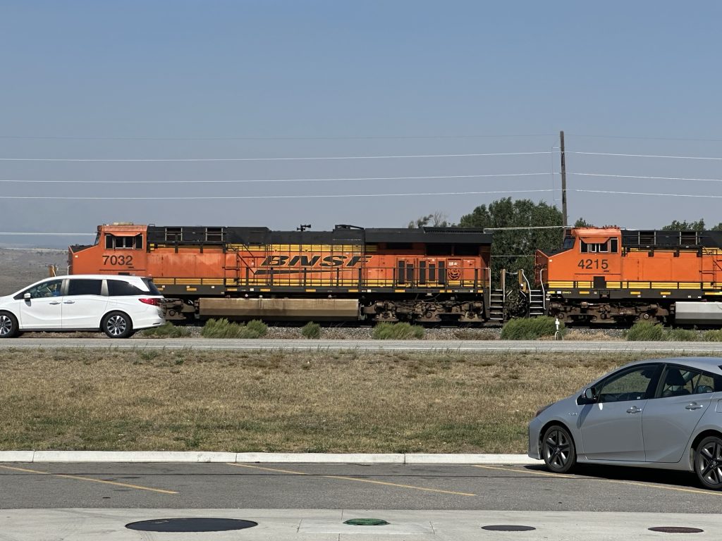
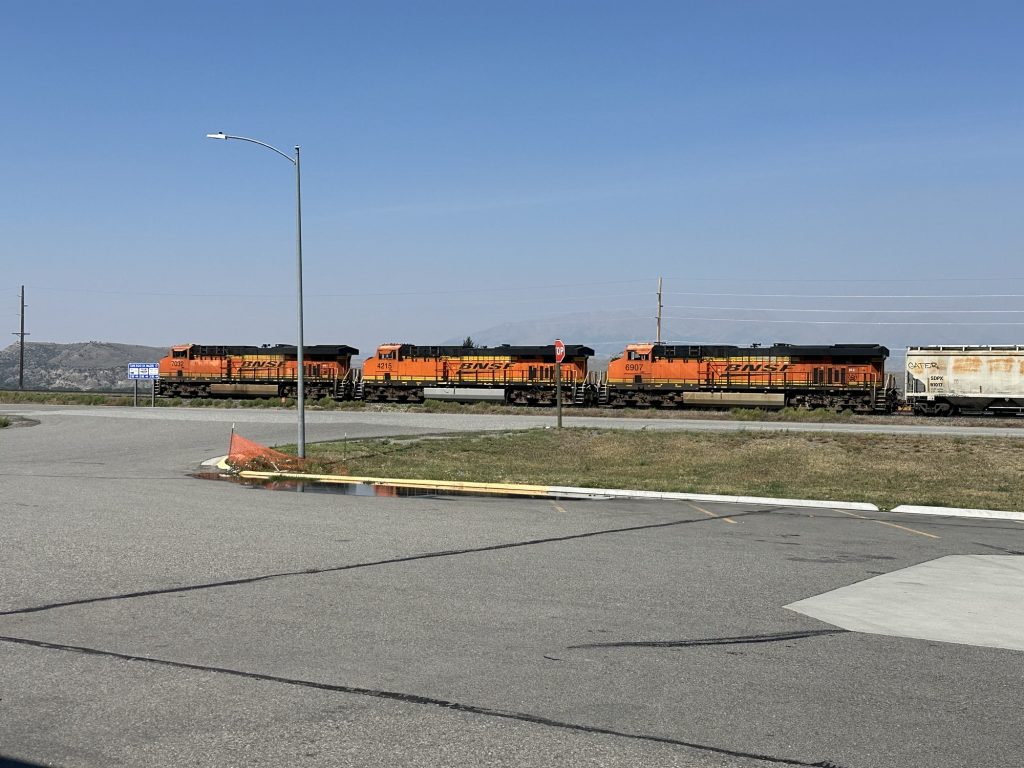
I continued west enjoying the corners up and down a few more passes before I crested Homestake Pass and dropped into the bowl where Butte, Montana is located.
I rode all the way through town, scoping out a good location to try and capture the background mountains for my backdrops. It wasn’t easy. Usually, backdrops work best if you have a good vantage point of the scenery you want to capture, with the requirements that you continue to have a similarly unobstructed view several more times over the next mile (or several miles, depending on how far away the scenery is that you want to capture.
I picked out a sports field complex that was partially up the slope of the bowl in the mountains, on the opposite side of the valley floor where the railroad tracks are. This was OK because I was going to be shooting the higher elevation features than that anyway.
Here are a bunch of photos that rotate around Butte, starting from the northwest and ending in the southeast.
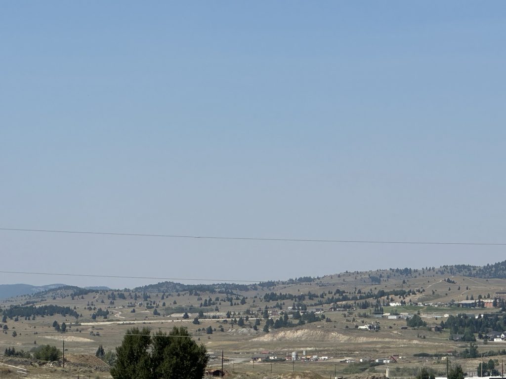
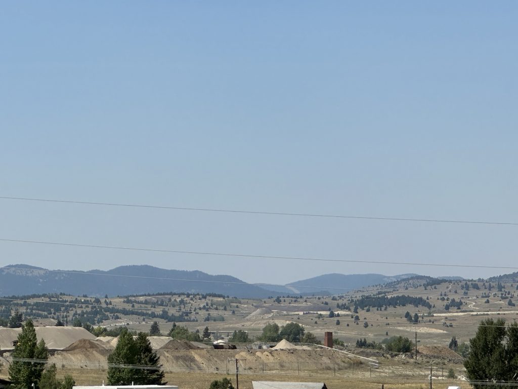
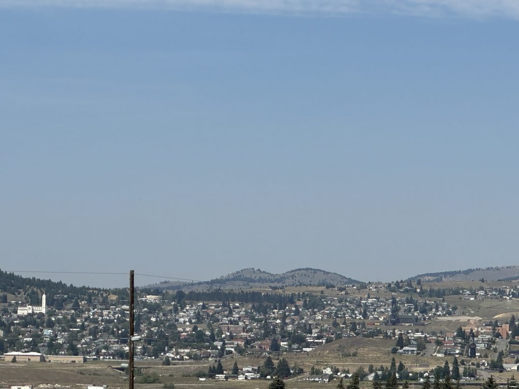
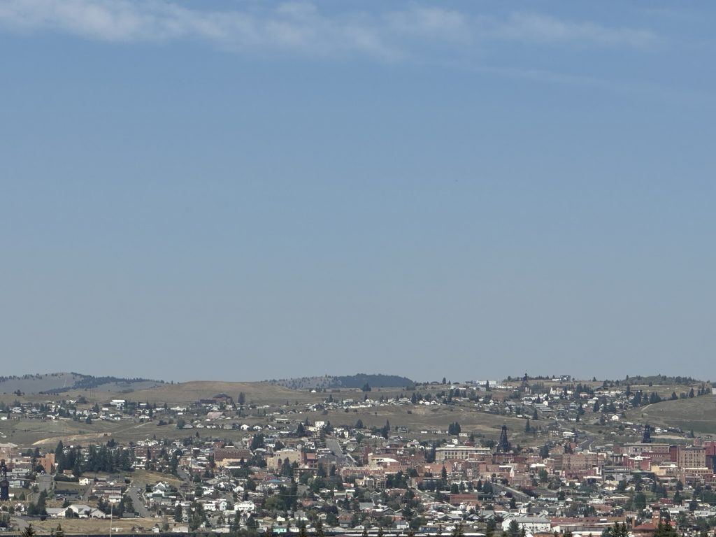
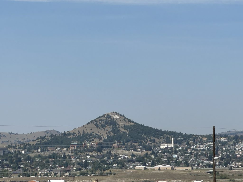
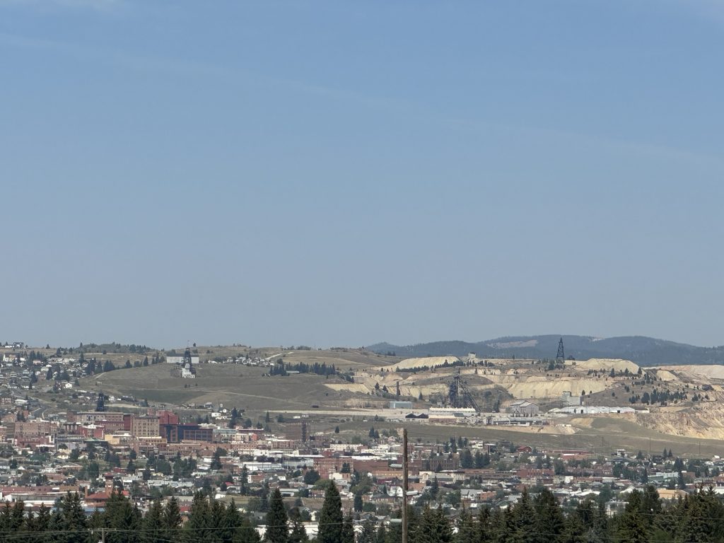
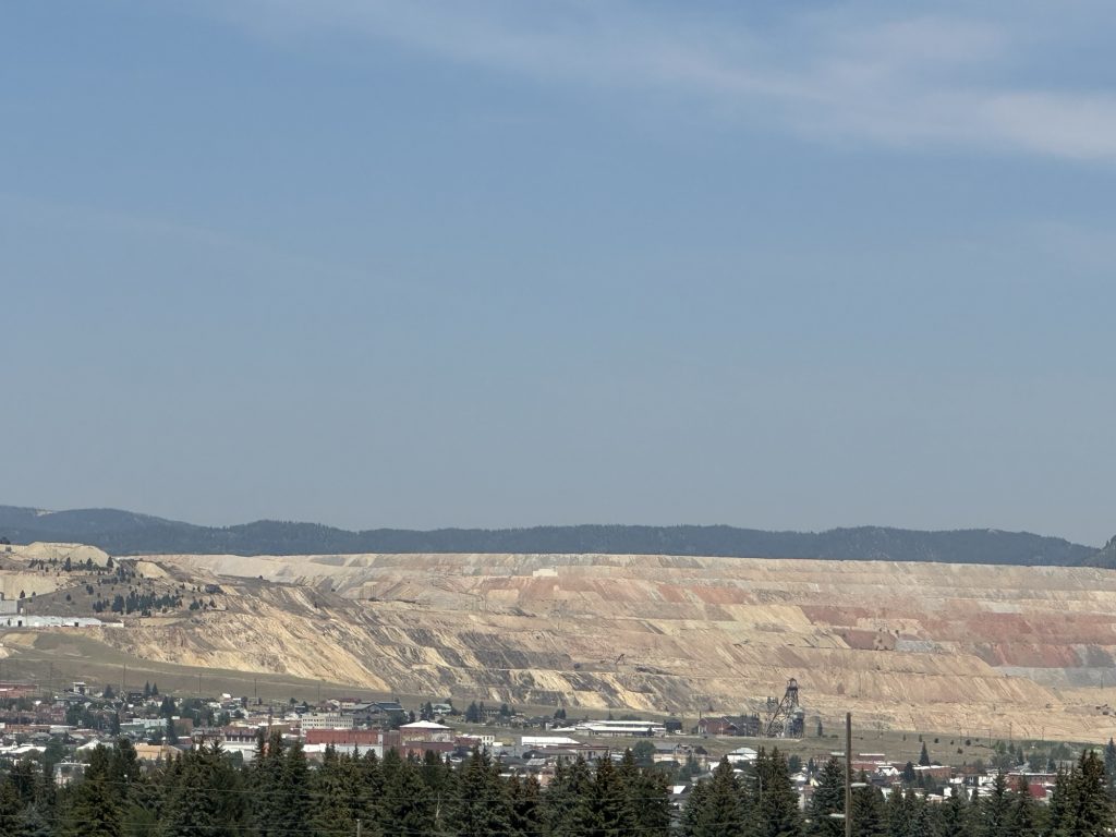
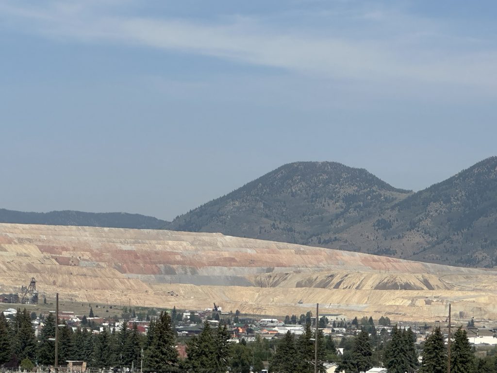
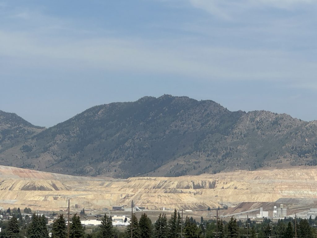
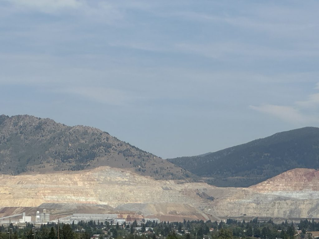
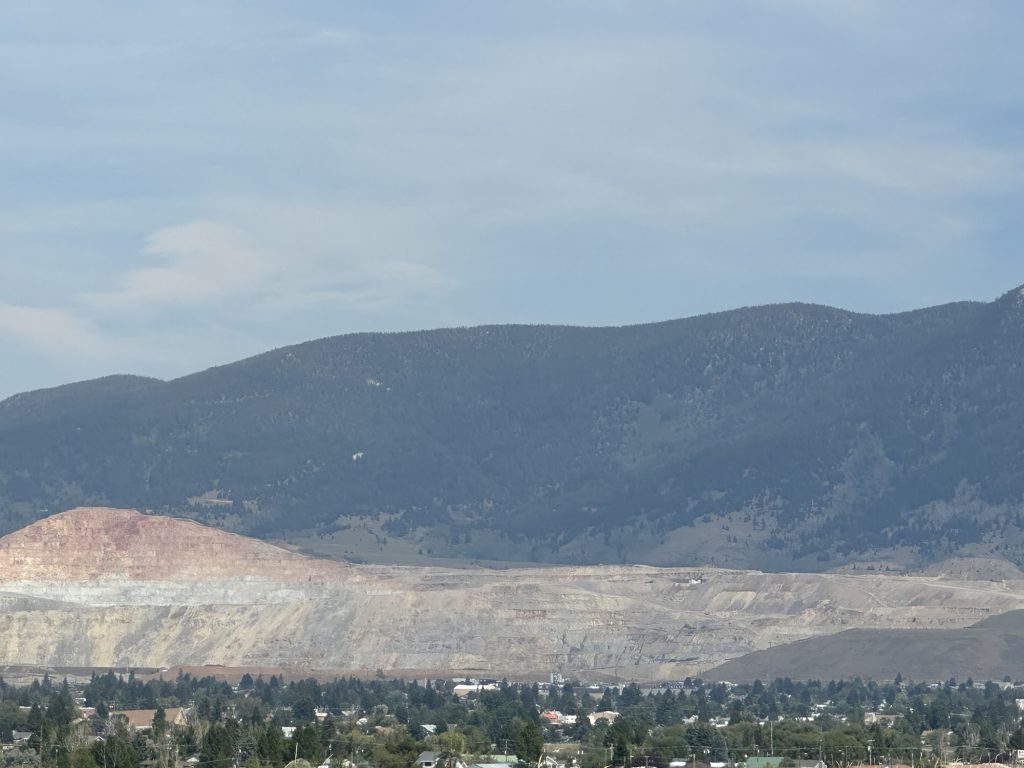
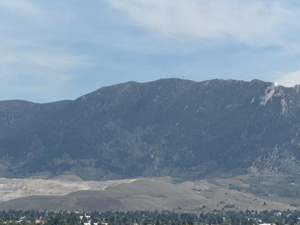
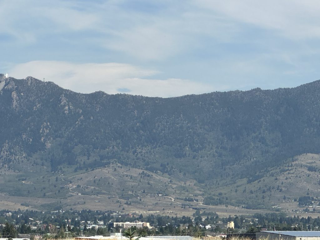
Hopefully, with some work in Photoshop, these will form 10-15 feet of backdrop.
The next stop on my model railroad layout is Silverbow, and capturing the images for that location was more of a challenge. First and foremost, the background isn’t a bowl, so can’t stay in one location and simply rotate. You need to move along the scenery and take additional photographs, in a very rural setting there aren’t roads in all the locations you require. I’m not overly thrilled with the results, so I’m not including them here.
Heading west on I90, the road turns north before continuing west in Garrison, Montana. During that northward stretch, however, there were several opportunities to capture the distant range of mountains. I got in the habit of pulling to the shoulder, shooting four or five photos at rotating angles from that location, and then proceeding 1-2 miles down the road and repeating the process. There was a bit of smoke haze in the sky from wildfires, but I think the results will be usable.
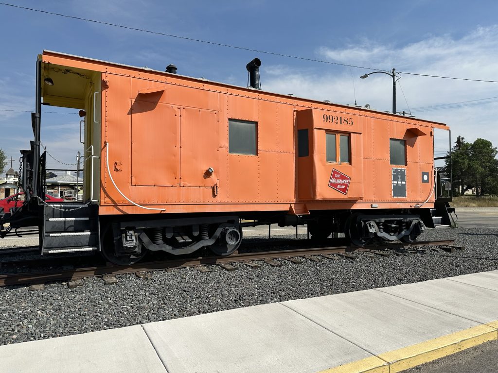
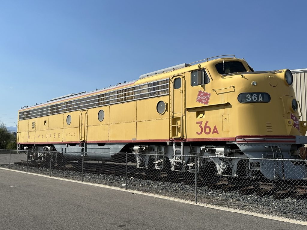
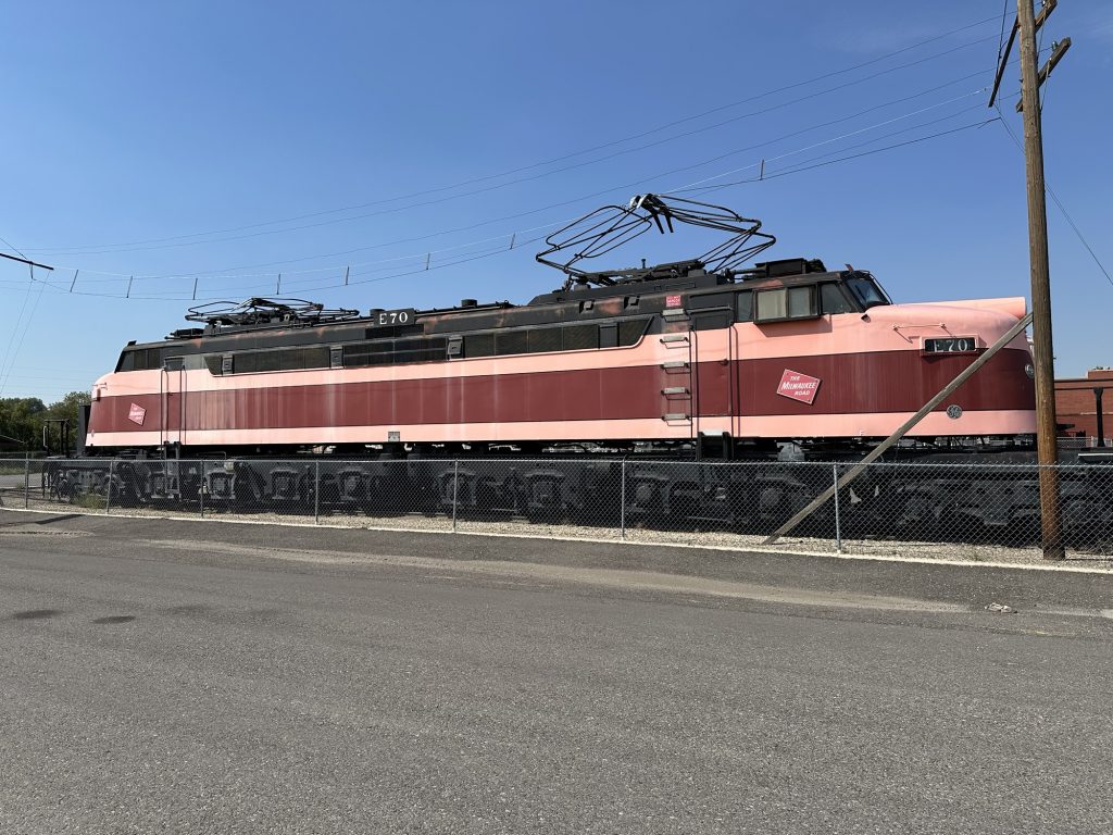
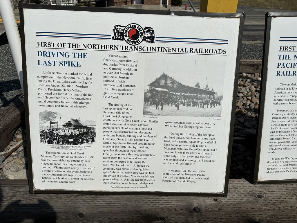
Another feature of the northward stretch was the small town of Deer Lodge. If you’ve never heard of it, I’m not surprised. About the only folks to know about it (outside of its residents), are fans of the Milwaukee Road railroad. Back in the day, the Milwaukee Road was losing ground to the other railroads in the region (Northern Pacific, Great Northern, etc.), and was throwing their last dollars at just about anything that they thought would give them an edge. One of those ideas was to electrify a portion of their pass over the Rocky Mountains so they could use electric locomotives to get over the hard grades. The eastern edge of that electrified region of trackage was Deer Lodge, Montana.
I already knew the tale, so I didn’t visit the museum, but I did take a few photos of the units that were outside the museum. The huge loco with the catenary on the roof to pick up electricity is one of the electric locos.
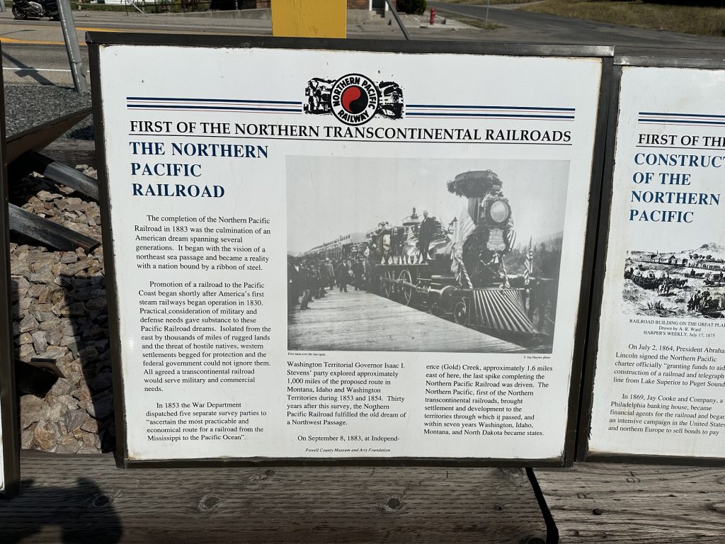
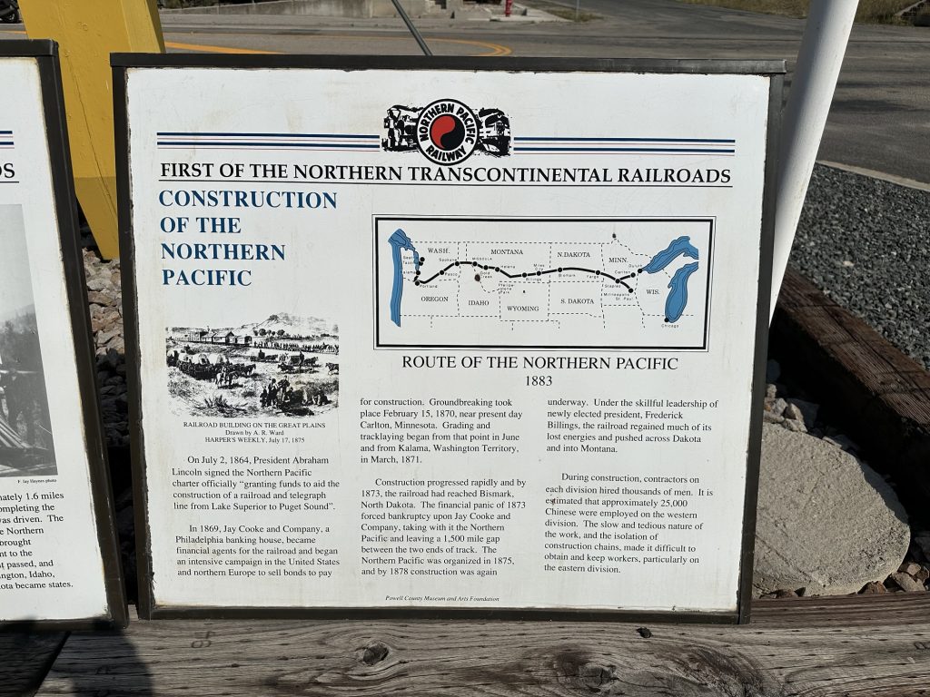
Continuing north, I reached Garrison, where I wanted to capture more candidate backdrop photos, since I have plans to model Garrison on my layout. Unfortunately, the only place to take such photos from an advantageous location, was from the tracks themselves. Railroads don’t take kindly to folks just walking around their tracks willy-nilly, so I elected to not get arrested.
The same challenge with the narrowing canyon where the track lies caused the same limitation all the way to Missoula. By the time I reached Missoula, I was getting tired. The temperature was back up over 90ºF (), and I’d been in go-mode for three straight days. I know it was still before 6pm, but I elected to end the day early and have a relaxing evening.
I made all of these decisions in the shade of a pavilion on the east edge of Missoula at the old Northern Pacific railroad depot. The building has been restored and looks to be in fantastic shape. I’ll be modeling Missoula, but I’m not sure I want/need to mimic the old depot on my layout.
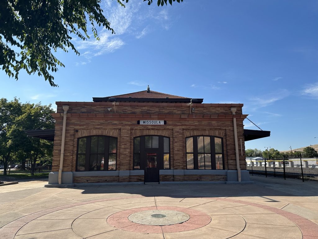
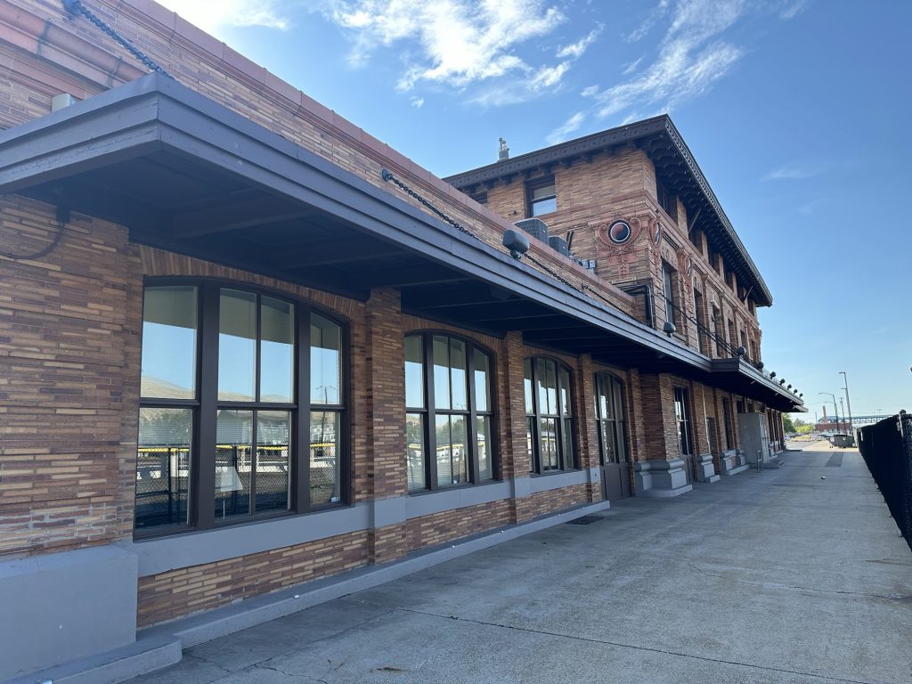
Still in the shade at the depot, I made a reservation at a local hotel, and rode over to end my day with air conditioning and a meal.
Post Ride
Lucky me, the Montana Club restaurant was right across the street from my motel. The hostess informed me of a 20-30 minute wait for a table in the restaurant, or I could try the bar. The booths and tables in the bar were all full, as was all the chairs at the bar. There was, however, a space at the end of the bar that was open, and one of the nearby tables had two extra chairs. After asking to borrow the chair from the table, I had a place to sit at the bar. Problem solved.
The bartender that greeted me, Quill, was like a polite drug pusher; happily enabling each customer’s desire for more drink, more food, more dessert, etc. Before I knew what has happening, I had an interesting concoction of bourbon, huckleberries, seltzer, and lime; it was very refreshing. Dinner was simple, a bowl of southwest chicken soup, a hamburger with bacon and blue cheese, and French fries. Once that was gone, my pusher was back to dangle a crème brûlée for dessert. Alas, I caved.
Back to the room the write this up.
Map
Here’s a map to today’s ride. I figure out a better methodology to obtain a nice map from Scenic. Here’s that improved image, which you can click for an interactive page.
Tomorrow
Try to capture more candidate background photos, this time towards Polson, and Sandpoint. Tomorrow is the only full day I have to capture photos. Starting Wednesday, I need to start heading back east.