
We ride the “Road to the Shore” and the “Road to the Isles” (Newfoundland loves naming their roads creatively).
Pre Ride
First and foremost, we awoke shortly after 8am to the best weather conditions we’ve seen yet in Newfoundland. Clear blue skies, a little wind, but not a hassle; a morning temperature of 60ºF, heading up to 84ºF in the afternoon.
The weather is fortunate, since we’re riding another fairly healthy stretch of back roads today (and that would be a death-march of a slog through a torrential downpour).
Our nice little cabin turned out to be a good find. Even without air conditioning, the low evening temperatures allowed both Chuck and I to sleep with the windows open, which helped us get a good night’s sleep.
We packed our bikes, chatted up the neighbors, petted their dogs, and were on the road a few minutes after 9am.
The Ride
The day started easy enough. We rode west to Glovertown and filled up with gas. We continued west to the TC1 (Trans Canada Highway 1) and continued west towards Gambo.
We weren’t on the highway 30 seconds when Chuck started honking at me and pointing at the rear of my Bike.
I’d forgotten to stow the tube to my Camelback water reservoir.
This is an oft-repeated problem that I have, probably due to some deep seated character flaw that I have yet to conquer. I carry a Camelback water reservoir on the bike for anything longer than a day ride back home. I don’t wear it on my back (that’s just too sweaty on hot days); I strap it to the bike and run a long tube to my so I can drink without reaching all over god’s creation looking for the tube. The downside is that tube is long and if not stowed properly, it fall off the bike and gets caught up near the rear tire, which proceeds to tear the bite valve off the end of the drinking tube. With no valve to keep the water in the reservoir, it all runs out (in this case, all over the front of Chuck’s bike).
When I’m riding with Karen, she minds the water tube and bite valve losses never happen. When I ride alone, I usually remember to zip the end inside one of my jacket vents or I strap it down under a Velcro enclosure on my jacket. But, the unfortunate reality is that I don’t always remember, and bite valves get sacrificed to the motorcycle touring gods.
This happens so often, that I stock extra bite valves on the bike. Hey, if you’re going to leave a character flaw unconquered, it helps to take steps to mitigate the carnage that follows.
So, the good news is that it took me about 90 seconds to install a new bite valve by the side of the highway. The bad news is that now I didn’t have water until we stopped for some other reason (gas, bio-break, food, etc.).
We made excellent and easy time to the Gambo exit off the TC1. Gambo was supposed to be the stopping point for the previous day, but there was a hot lot of nothing available for either accommodations or dining venues. We rode through Gambo and I confirmed that stopping before this point had, indeed, been a wise choice.
This marked the start of the “Road to the Shore”, another Newfoundland tourism bureau name for a stretch of road in a given region.
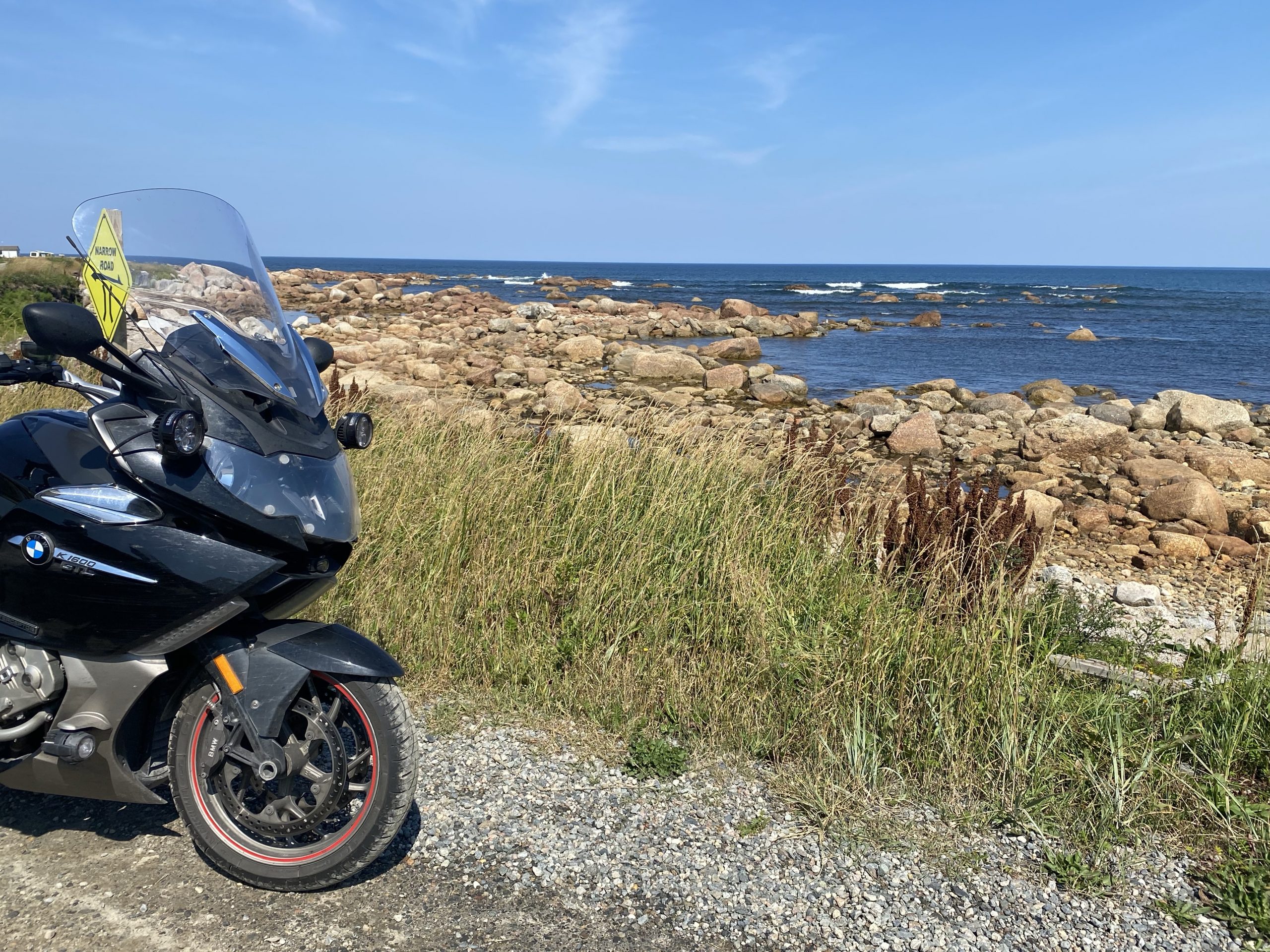
We were already in site of another inlet, even before we reached Gambo. We were going to see a lot of coastline today. This inlet was very calm as the notorious Newfoundland winds had yet to pick up this morning.
We continued up the coast a ways and eventually encountered a series of three towns that preferred to present themselves as a single entity: Centreville-Wareham-Trinity, otherwise known as CWT. We hadn’t stopped for photos yet, so I pulled over for a quick photo opportunity.
Further up the road, traveling through varied deciduous/conifer forests, spotted with inland lakes, we came around a sweeping right-hand curve and saw a black bear cross the road in front of us. He’d long disappeared into the brush off the right shoulder by the time we reached his location, but we still slowed down and looked for him as we passed. Given that bears are not overly common on Newfoundland, we counted ourselves lucky for seeing it. (I’ll see if I can capture the bear on the dashcam video.)
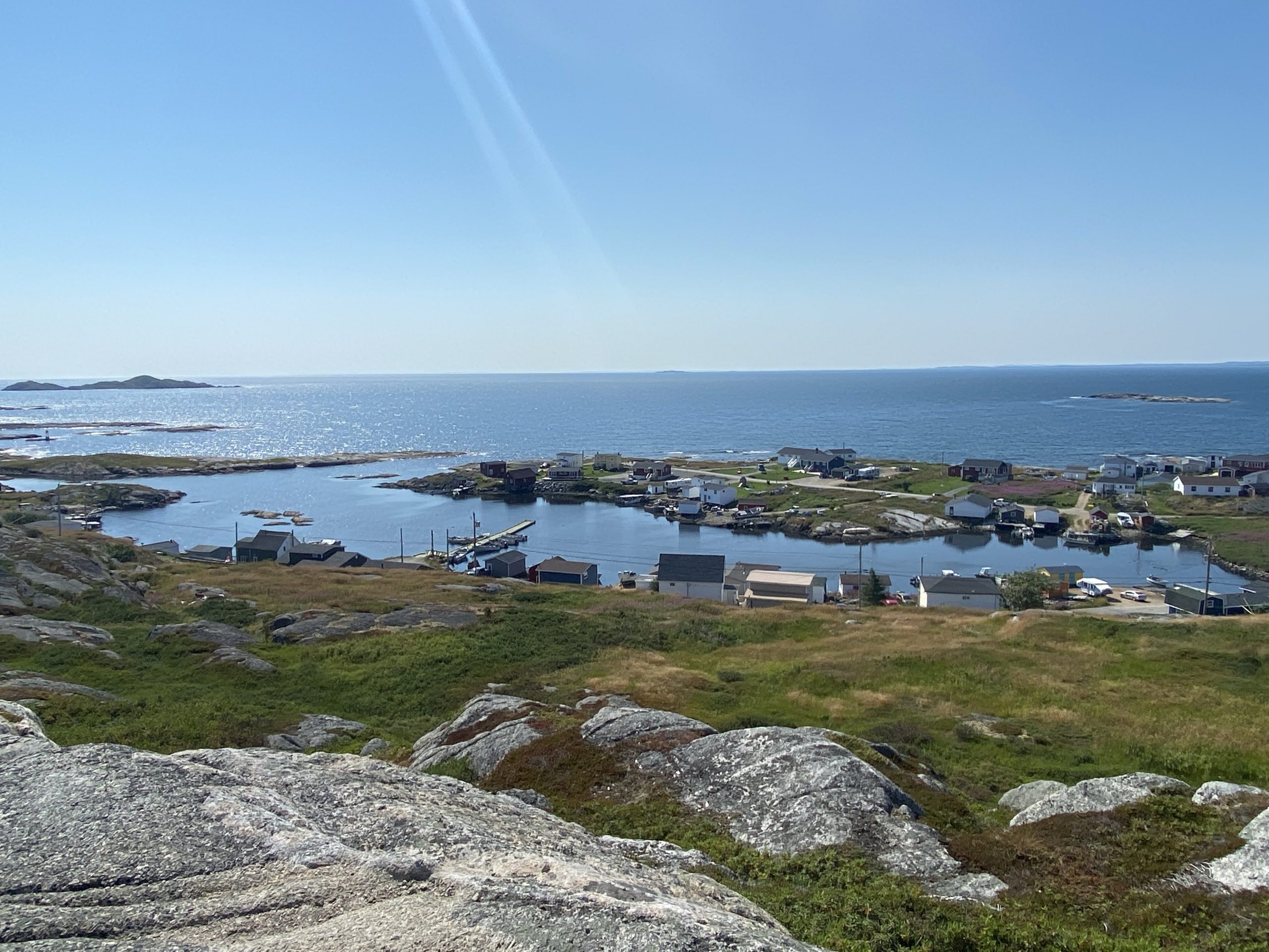
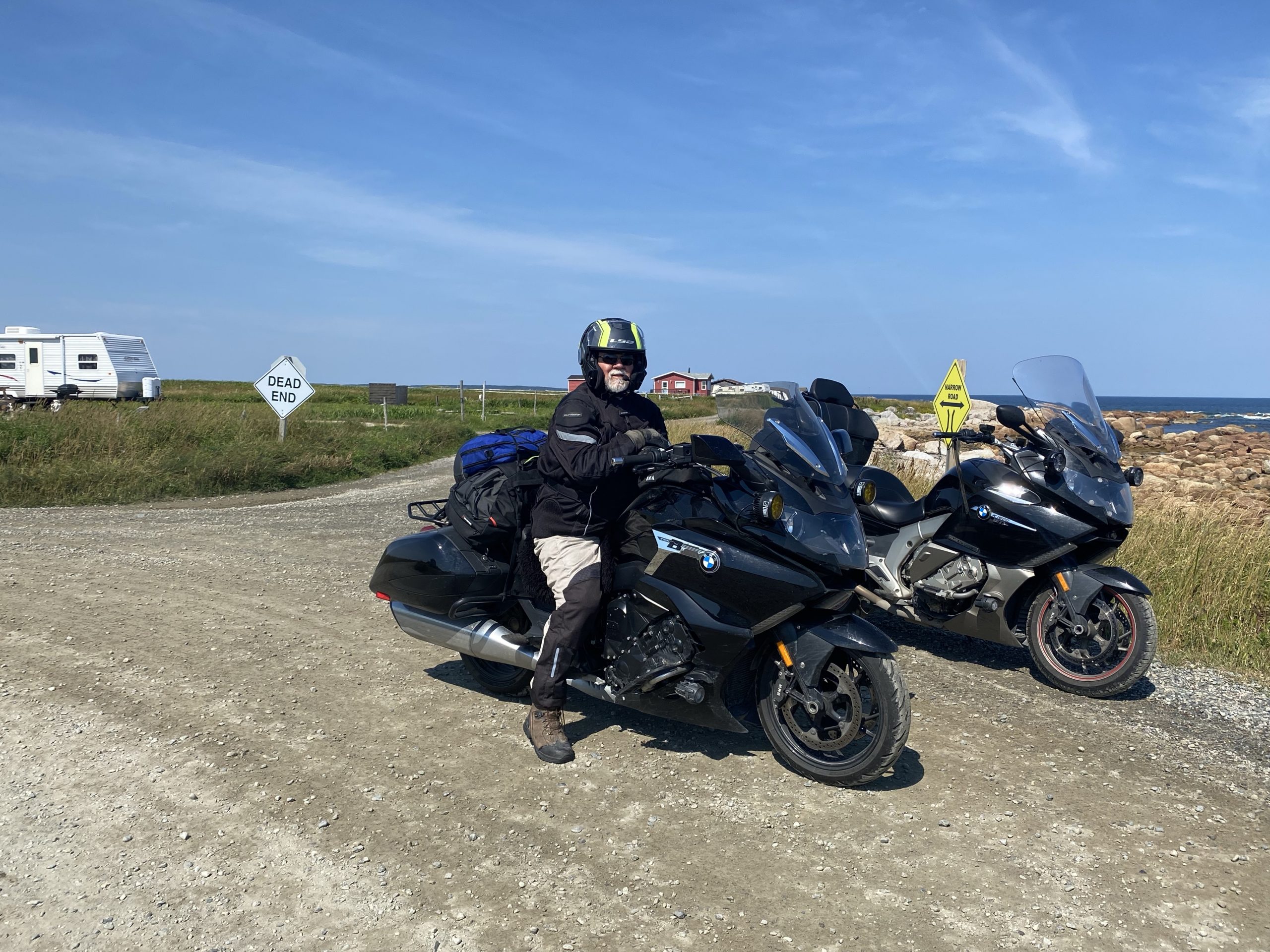
A bit further up the coast, we turned right onto a road that ended at Greenspond, on an island just off the mainland and reached by a narrow causeway. The road to Greenspond is only about eight miles long, so it doesn’t take much time to get out there. If you’re ever up here, add it to your list.
On top of a hill overlooking Greenspond, there’s a park commemorating the Sealing Captains that used to be based in Greenspond. That’s right, the captains of seal-hunting ships that went out on the ice and clubbed seals to death so you could have nice coats and such. The clubbing of cute, white, baby seals (the most coveted pelt) is usually what places these captains, in the realm of public opinion, right next to serial rapists and people who talk at the movies. Up here in Newfoundland, they’re just another part of the long relationship with this island and the surrounding ocean. We took a few photos of the village and the surrounding coastline.
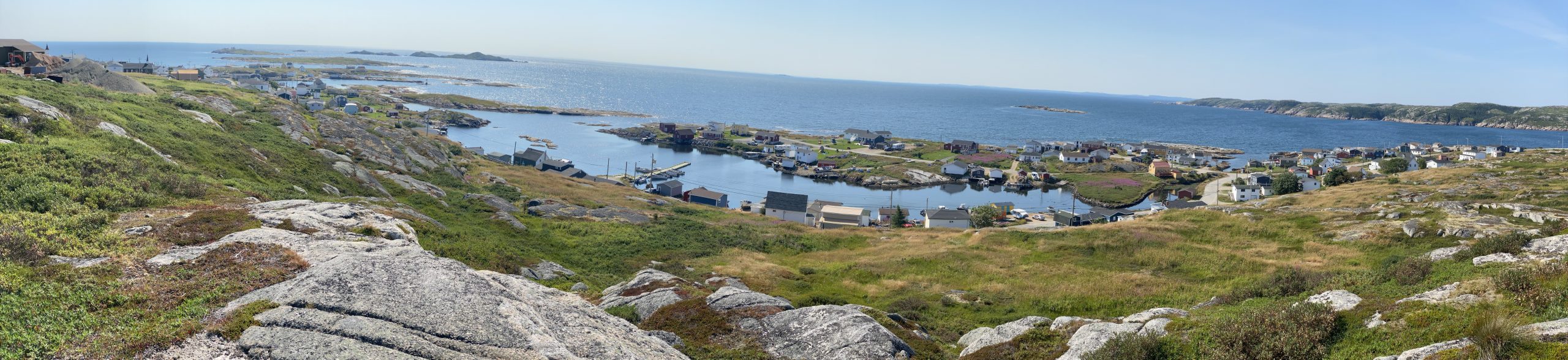
Retracing our route from Greenspond back to the mainland, we turned right and continued around the coast.
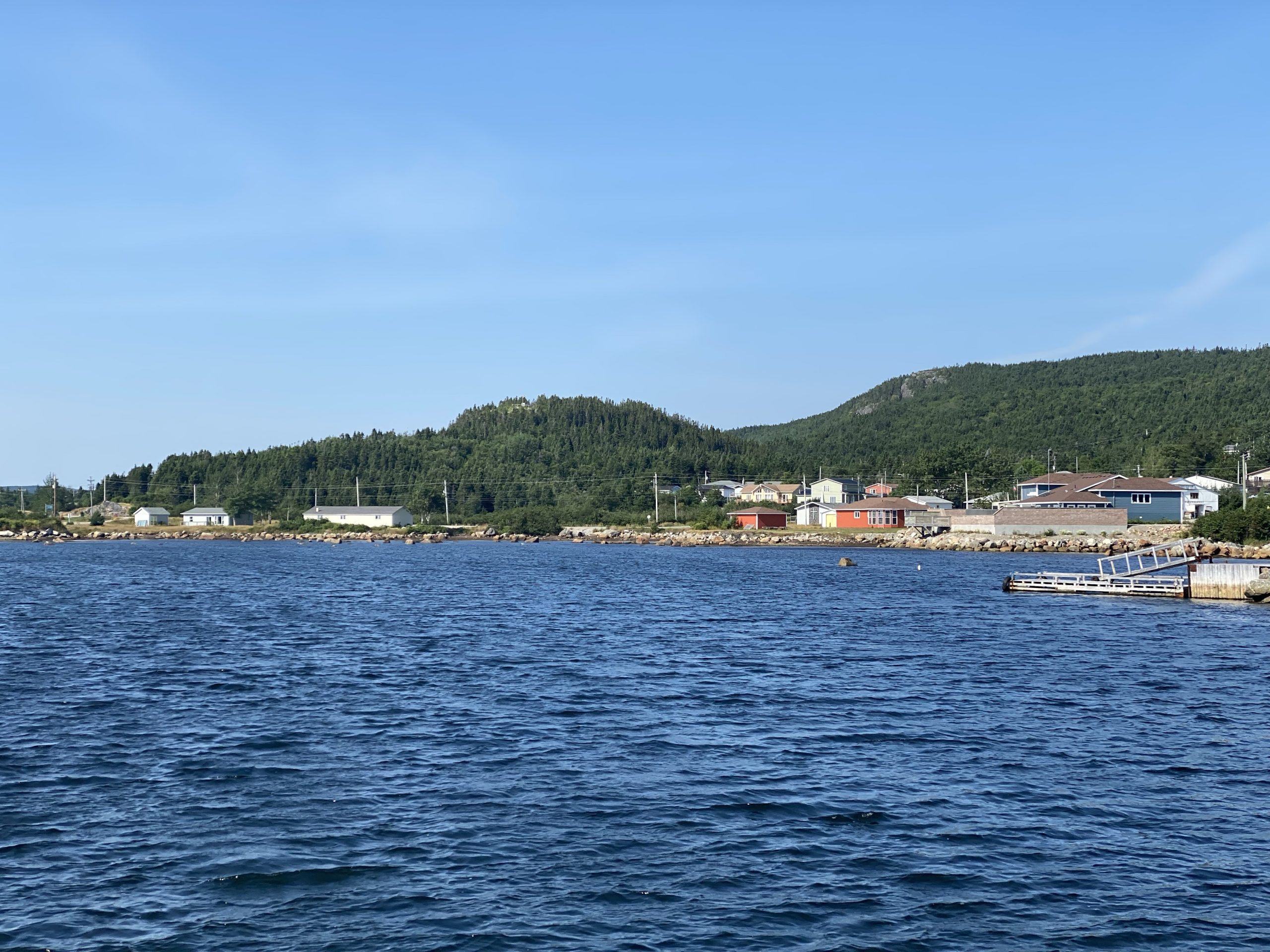
Soon thereafter, we approached the community of Lumsden, which looked like it catered to the vacation/tourist crowd. Along the substantial stretches of open, unforeseen coastline, we saw dozens of places where folks had parked their RVs for the weekend. I couldn’t help but wonder how much fun it would be to drive a 45ft class A motor home down a mile or two of rocky two-track, just to get to the desired patch of coastline.
Now entering Lumsden proper, Chuck pulled up next to me and motioned to something off to the right that he wanted to visit. I assumed he meant the region around the water town high up on a hill. I turned off the highway, drove down a residential street and found the two-track up to the water tower. It was indeed a nice view of the surrounding area from this vantage point. I asked Chuck if this is what he wanted and he pointed down the coast to a spit of land sticking out into the ocean.
Oops. My mistake. I took a couple of photos and we made our way down to the point.
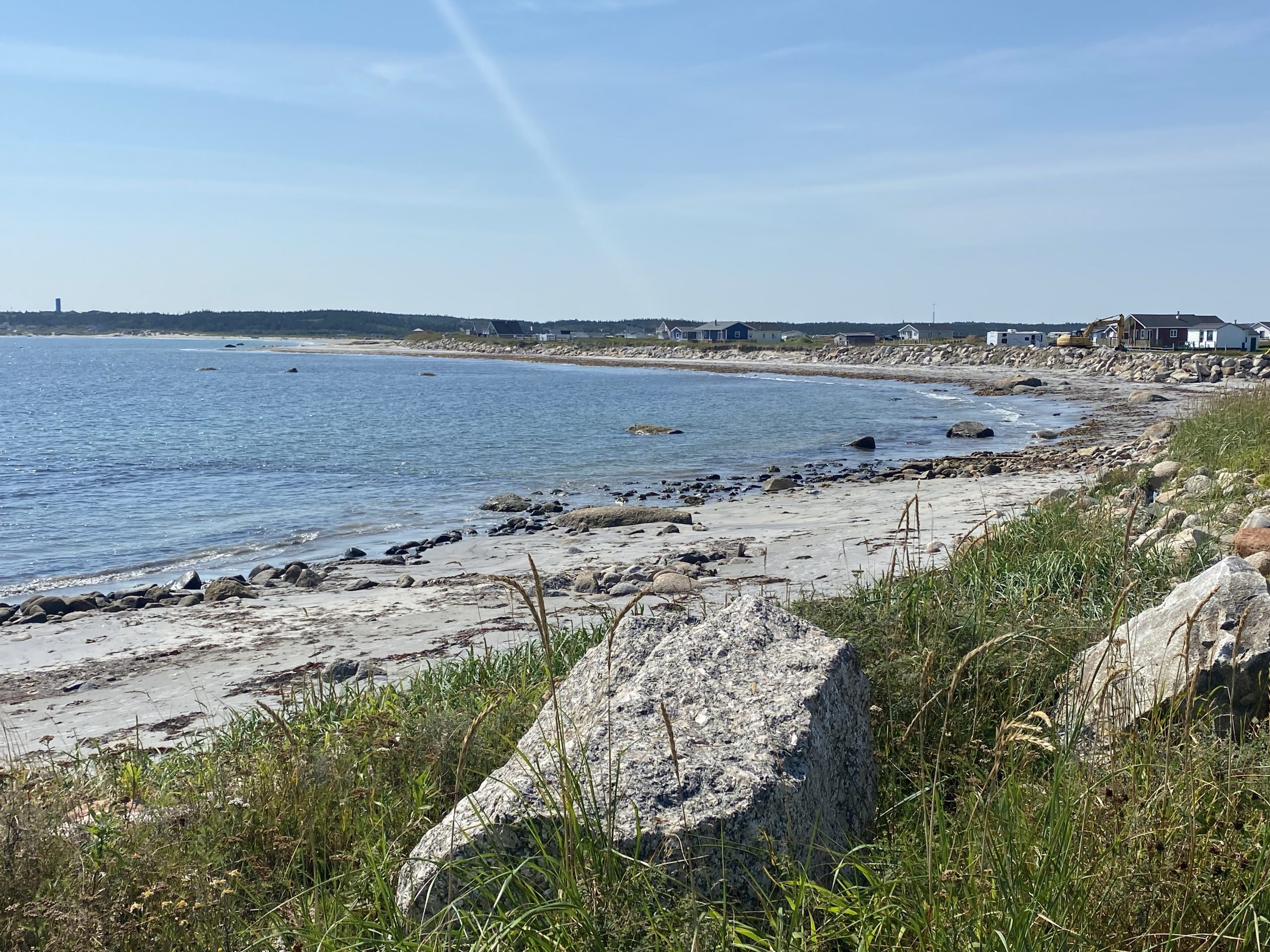
Down on the point, we found a community park, complete with a nice beach and a playground built around rainbow-colored 10ft tall letters spelling LUMSDEN. We rode out to the end of the point, past several vacation homes, including a few still under construction.
Continuing west, we diverged of the highway where it cut the corner across a point of land that was home to three small communities: Carmonville, Frederickton, and Main Point. My original route from Google Maps included these three communities, presumably to include more coastline instead of the highway’s shortcut.
In retrospect, I think I’d have preferred the shortcut.
As mentioned in previous trip reports, Newfoundland has really good roads… and really bad roads. There doesn’t seem to be a lot of semi-bad roads. The roads along the coast from Carmonville, to Frederickton, and to Main Point, are all pretty damn bad.
It started with some fairly severely patched and wavy blacktop. That was followed with blacktop that was so completely batched that you couldn’t see the yellow line down the middle of the road. Then came the badly cracking blacktop that was nearly non-existent in the outside line of each lane.
Then came the eight miles of dirt. Happy, happy. Joy, joy.
In an act of full disclosure, this stretch of dirt wasn’t that bad. It was dry, only mildly washboarded, not completely full of potholes, and wide. The biggest problem was that, like nearly all of Newfoundland, the soil is rocky. For this stretch of road, that meant that there were pieces of rocks sticking out of the roadway. It was like riding on a half-cobblestone, half-dirt road. After what seemed like forever, we emerged from this motorcycle suspension proving ground, and returned to our beloved highway.
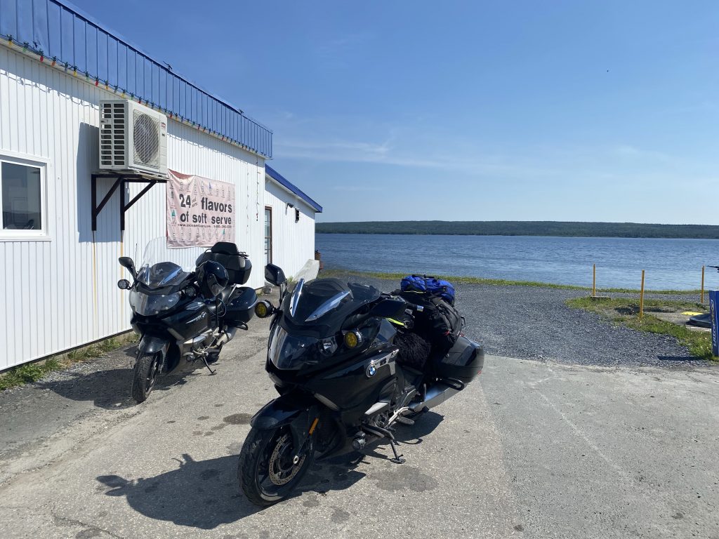
At Gander Bay, we made a u-turn around the base of an inlet and headed back north. This marked our departure from the “Road to the Shore” and the start of the “Road to the Isles”. The day had gotten warm and we elected to stop at a gas station/convenience store and indulge in some liquids and perhaps a snack.
Chuck chatted with a local about how this area is, indeed, a vacation area primarily used by Newfoundland residents. Some of them live here year round and make the commute south to Gander or some even further locales.
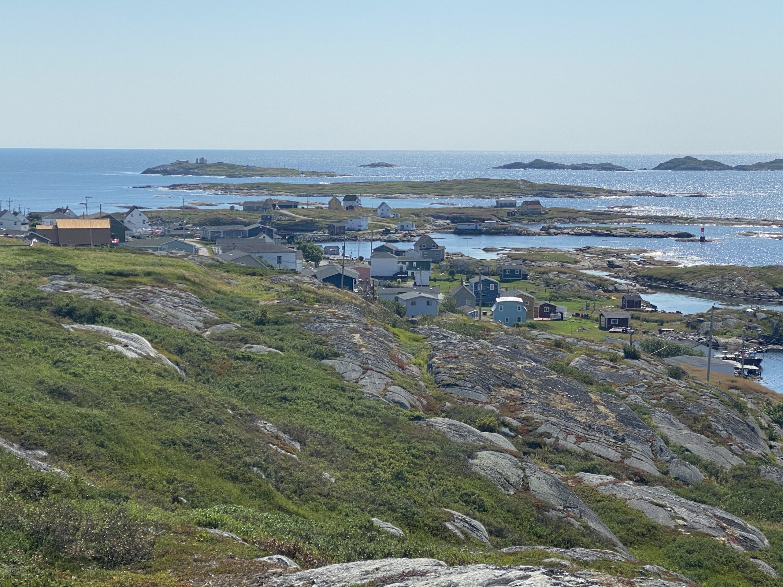
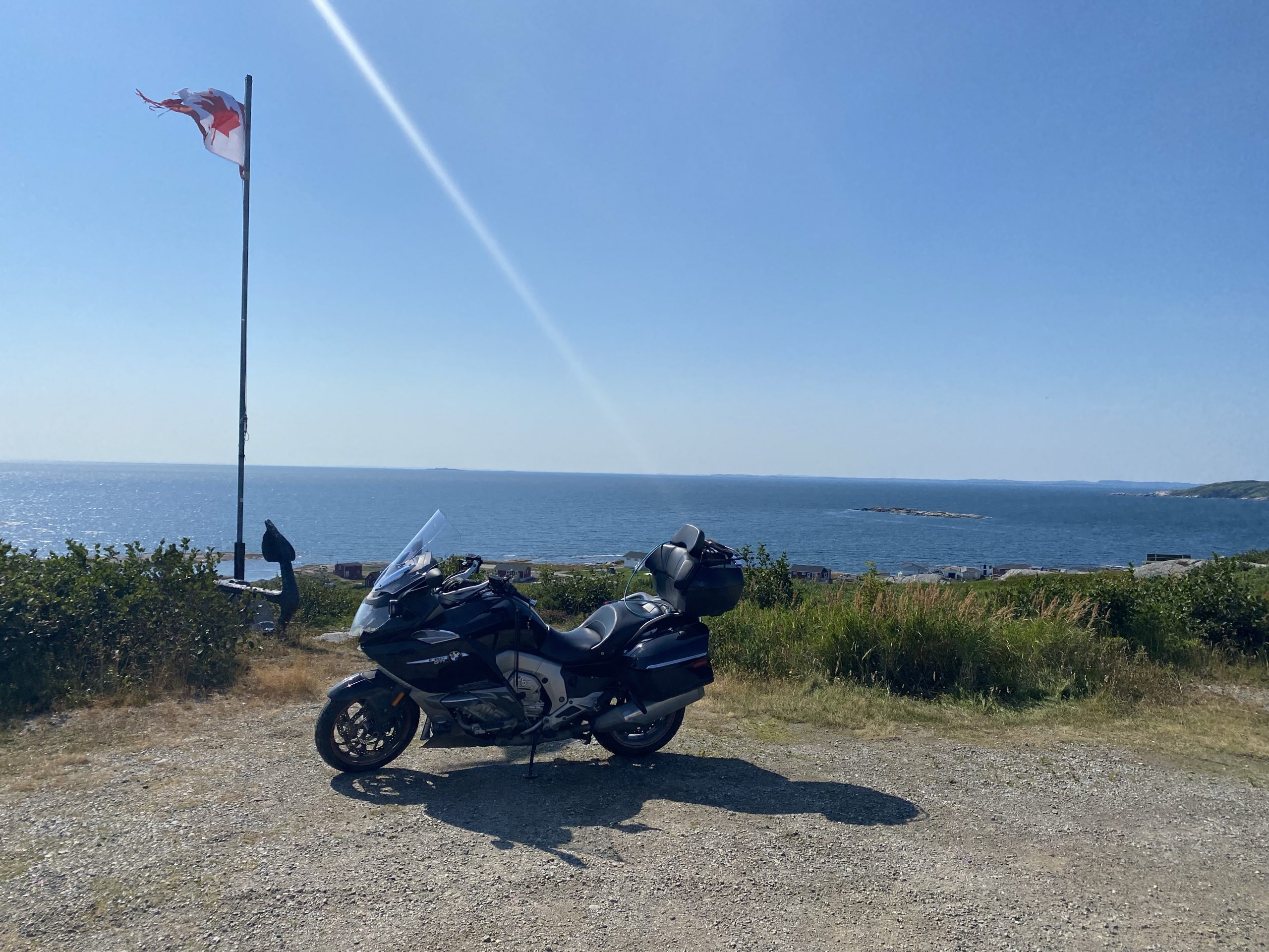
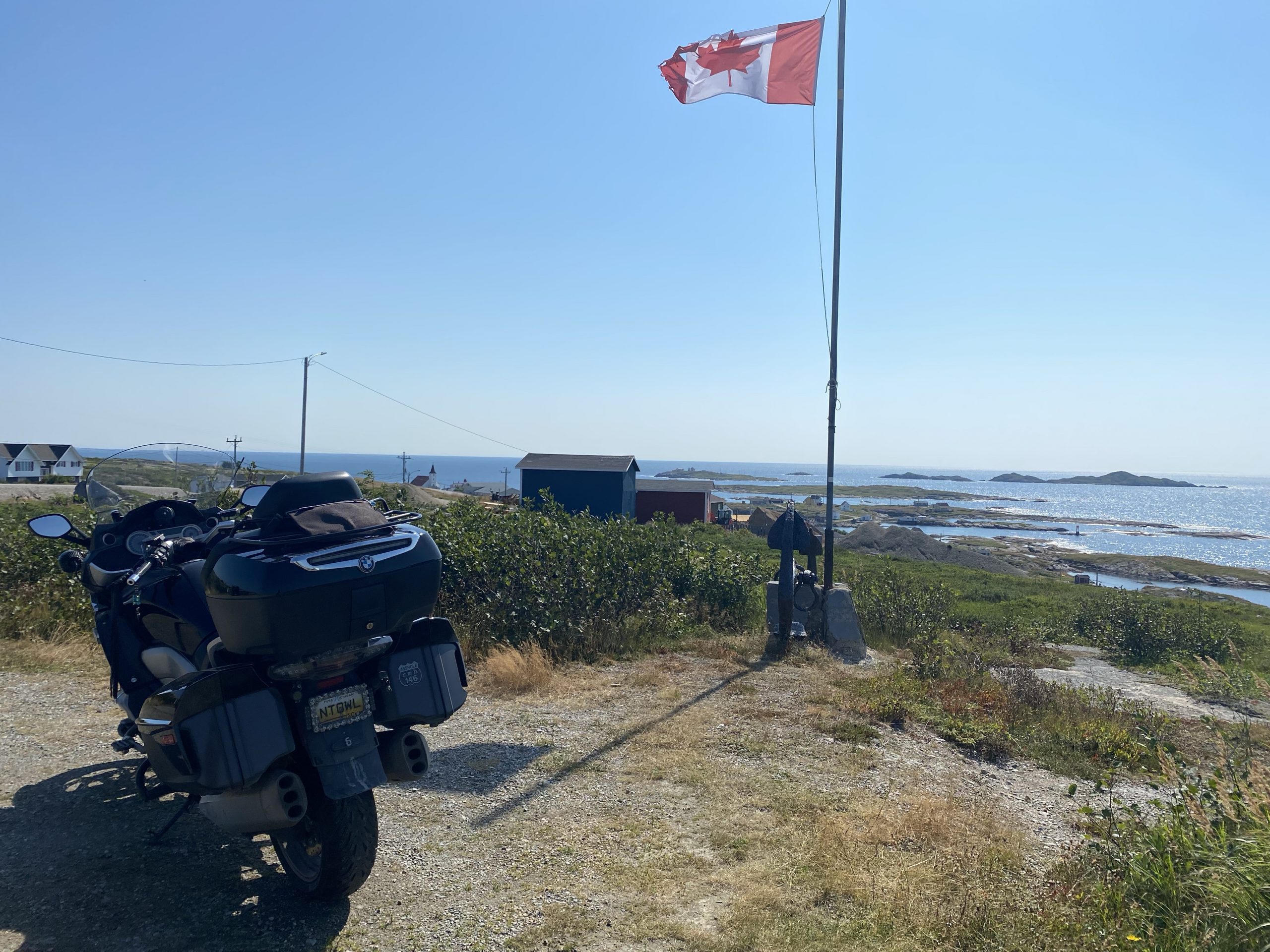
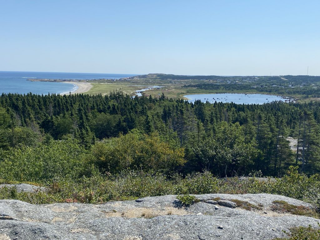
We continued north across a series of islands connected by causeways. Some of these islands were quite hilly, and provided some fun riding conditions… at least when the speed limit wasn’t strapped down to 50 kph (30 mph). We eventually reached Twillingate, where we crossed one final causeway to Crow Head, which is the end of the line; the next island hop would require a causeway about 80 miles long.
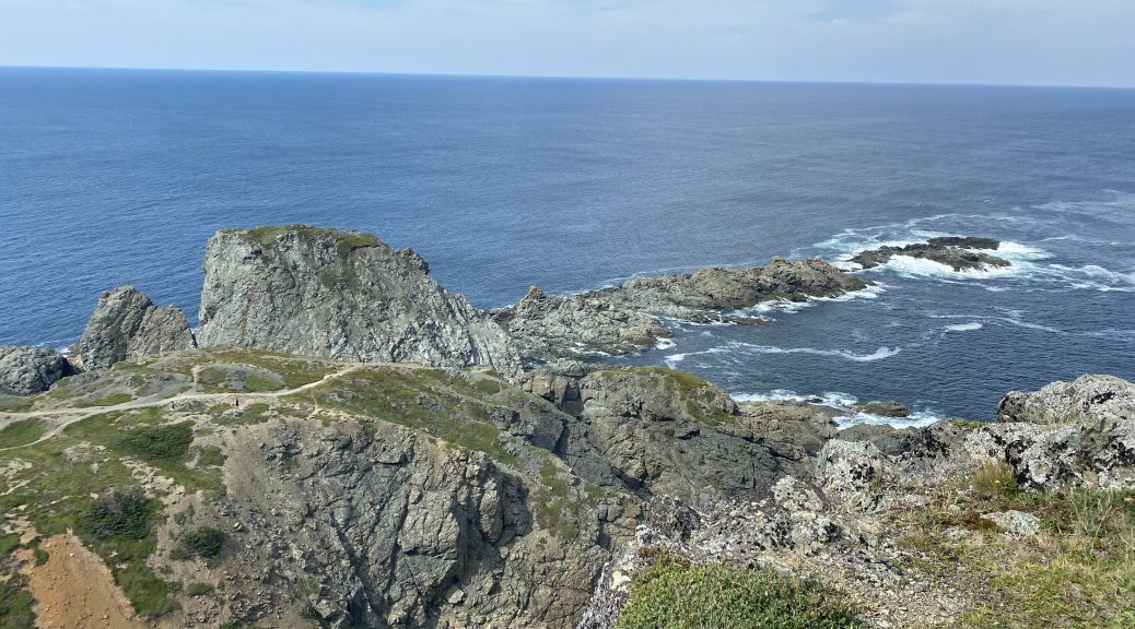
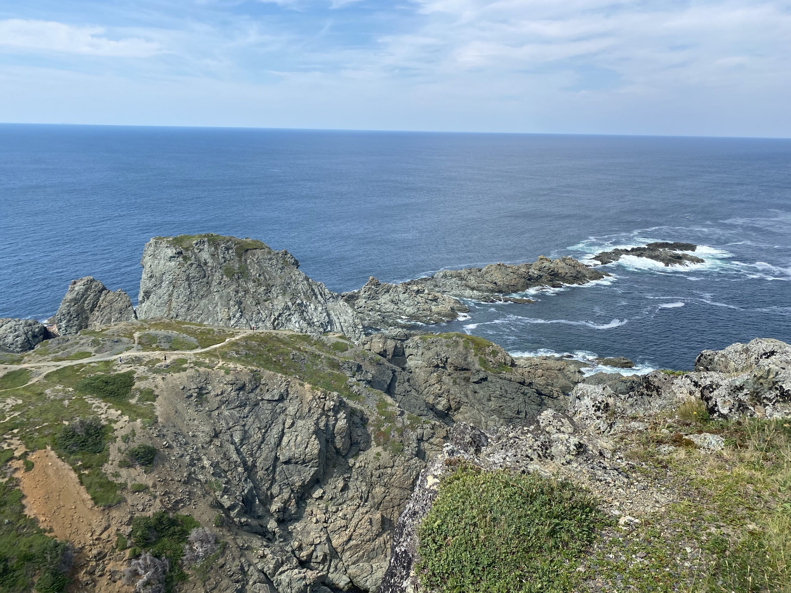
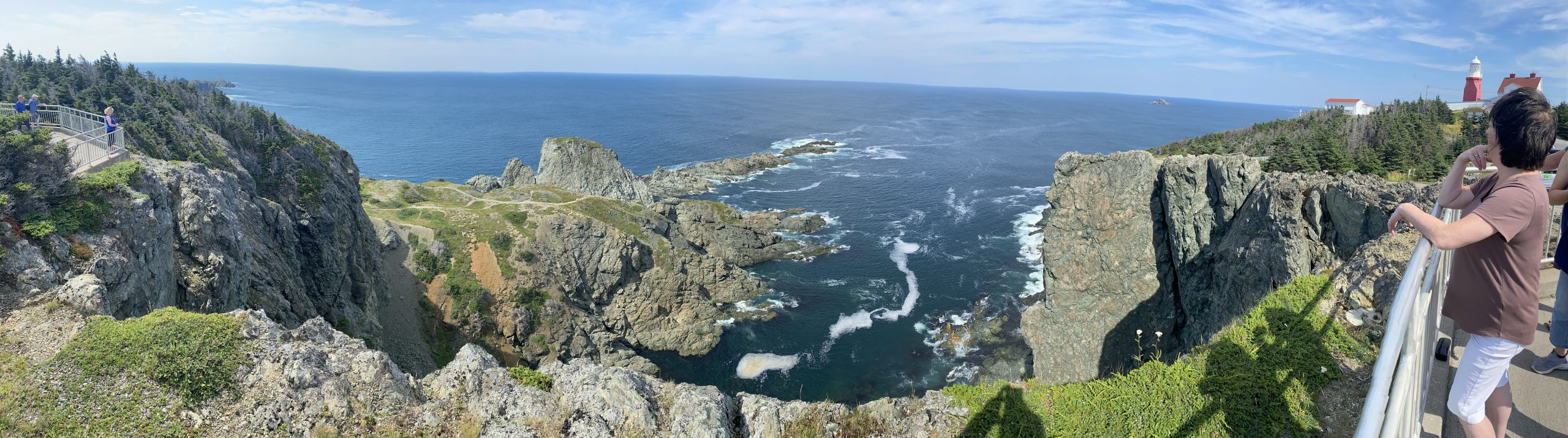
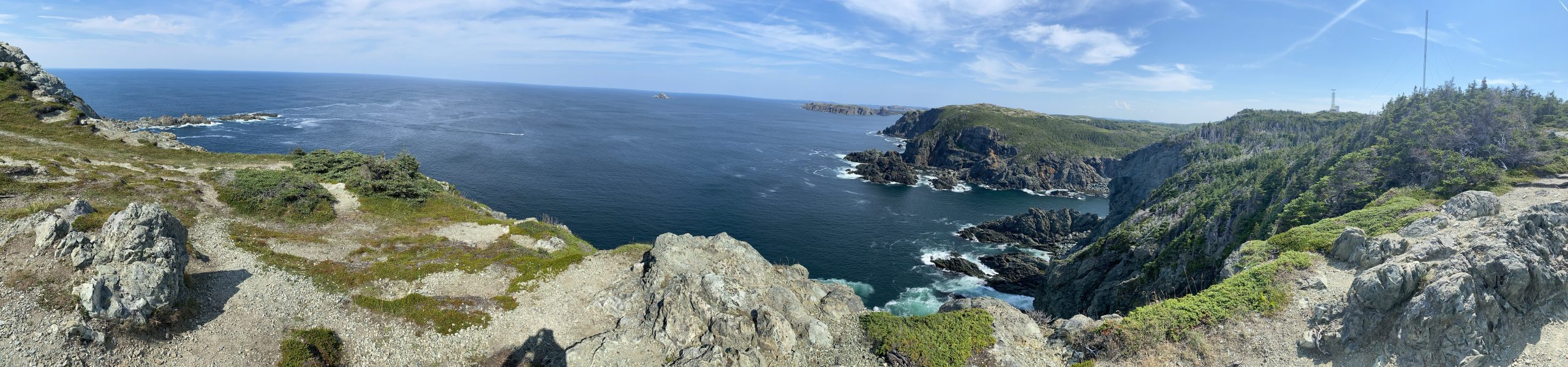
Crow Head is probably the most mountainous of the islands in this chain. Note that when I mean mountainous, I mean nearly 500 ft in elevation instead of 100 ft of elevation. At the north end of the island, perched atop a series of high rock cliffs, is the Long Point lighthouse. We took several photos of the area; it was gorgeous. We did not, however pay the admission for the lighthouse tour.
We headed back the way we’d came (there isn’t any other option), tracing our steps back down the “Road to the Isles” to the “Road to the Shore” so we could continue our ride around this loop and back to the TC1. We ended our retrace operation at Boyd’s Cove, where we turned south towards our destination of Lewisporte.
The rest of the route spent long stretches along the shoreline, which was a bit warm in the late afternoon sun. Still, the inlets we passed were pretty to look at and the miles passed quickly.
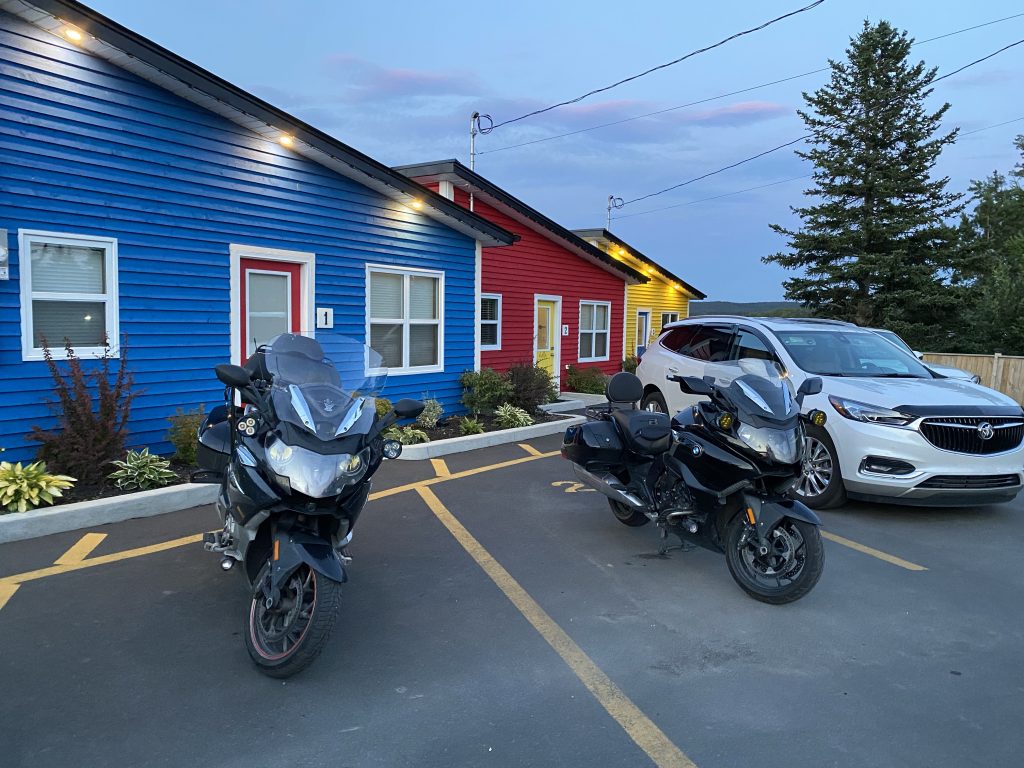
Tonight’s accommodations were in the first of our Air B&B reservations. This specific cabin had a washer and dryer, which is important if you’re 11 days into your motorcycle tour and you’re literally wearing your last clean pair of underwear and socks. (Don’t even start on my jeans, which I’d been wearing every day since I left.) I’d sent a message to our hostess for tonight, asking if laundry detergent and dryer sheets were available for guests. She replied that these supplies were not available, though we could obtain these items at a grocery store a few blocks away, right on our path into town.
Consequently, I was still in full biker gear when I reached the cash register for the local Co-Op store, checking out with a package of Tide Pods, a box of dryer sheets… and three bottles of Diet Coke.
Yeah, us bikers really know how to party.
It was a short ride up the street to the Come From Away cabins, right on the shoreline, complete with a cute little dock with chairs for hanging out and looking over the inlet.
Post Ride
Our first challenge was getting into the room. Our hostess had sent me a message with the required code to unlock the door to our cabin. Unfortunately the timing of keying in the code, waiting for the deadbolt to withdraw, and finally turning the knob to get in, requires an unusual amount of precision. We tried a dozen times before we enlisted the help of a fellow from the neighbor cabin, who was already able to get into his room. He couldn’t spot what we were doing wrong either. I checked the code one more time, entered the code, waited patiently for the lock to make a series of interesting noises, and finally crossed my fingers and turned the knob.
The door opened… and there was much rejoicing.
After moving into our very nicely appointed cabin, we exited the back door to the Adirondack chairs on the dock (make sure to use the pair of chairs that match your cabin’s color), and sat a while talking about the day while sipping our Diet Cokes. It was a very nice setting.
Discussion eventually got around to dinner. We found only a few non-chain restaurants in the local area. The first, an oriental place, no longer existed. The second, wasn’t where the map said it would be. Chuck looked up that same establishment, Chelsea’s Fish & Chips, and found a different location, so he led us to that location, only to find… nothing. At this point, we were back to the mall where we’d purchased the laundry supplies. As it happens, there’s a The Restaurant in the Mall at that location, so we parked that bikes and ate there.
It wasn’t horrible, but it wasn’t great either. They were understaffed, so the service was slow. The food was nutritious, but not something worthy of song or, frankly, story. Let’s just say we ate dinner.
On the way back to the cabin, we made a brief stop at an Orange Store (a line of gas station/convenience stores) to gas up and purchase beverages for the remainder of the evening.
Back at the room, we started doing our laundry and writing trip reports.
Video
Here’s a video of some of the highlights from the day’s ride. There’s only a few tidbits and the most interesting piece, where a black bear crossed our path, will likely only be visible when viewed in full 4K resolution. Even the, it’s basically a dot crossing the road; the compromises of using a dash cam with such a wide view of field.
Map
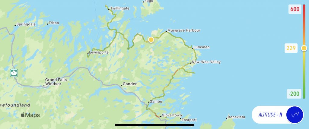
Here’s the old school status map of the day’s ride, with the usual altitude overlay.
Note: Ignore the -200 ft for today’s lowest altitude. That was just the GPS in my iPhone on drugs. You see, while the Nightowl is a fine piece of German engineering, it is not a U-boat.
Here’s a link to the interactive map for the day, compliments of the Scenic app.
Tomorrow
We head over to Botwood to visit their flying boat museum, after which we jump on the TC1 (Trans Canada Highway 1) for a long ride to Deer Lake and finally to the west coast of Newfoundland at Rocky Harbour.