The plan was simple: get a 9-10am start and ride the remote ID28 route up to Salmon, ID and up US93 to Lolo and then west on US12 through Lolo Pass and on to Orofino, ID. If I had known everything that was going to happen today, I may have stayed in bed.
The original plan was scrapped almost immediately since I got a late 11am start from my friend’s place in Blackfoot, ID. It was important to get started on the Lolo Pass part of the day’s journey as early as possible for the following reasons:
- Lolo Pass turns into Wild Kingdom around sunset.
- If it’s sunny, the late afternoon sun has you curviing in and out of the direct sunlight, often in the middle of corners. This is what happened the last time I did Lolo Pass in the westerly direction; I wanted to avoid this.
The ID28 portion or the planned route if rather desolate and sparely populated (or driven). At over 100 miles (160 km), it is wise to fill up your tank in Mud Lake, ID before heading towards Salmon, ID. If you don’t, you may not make it and end up out of gas in a setting like the following.
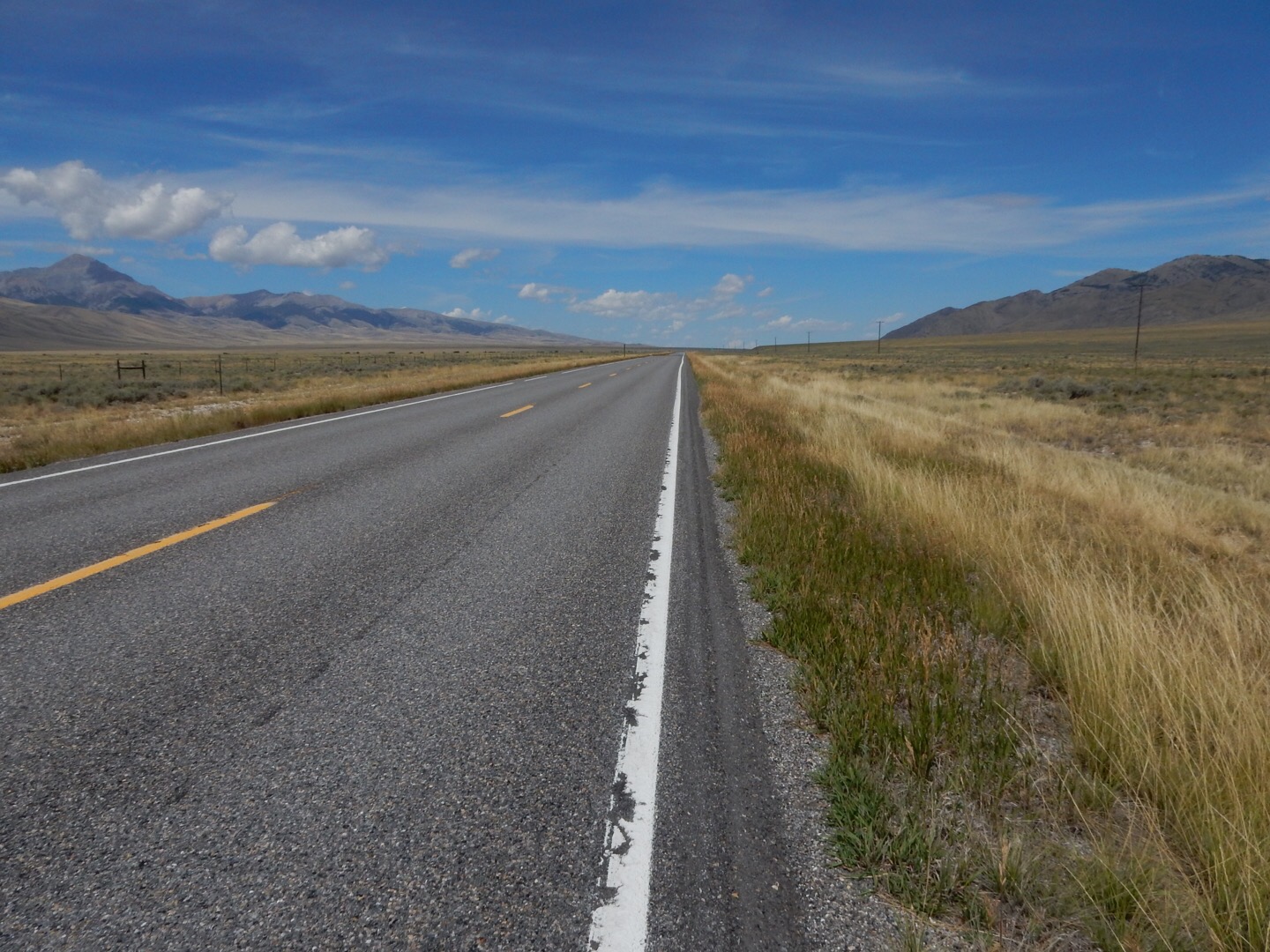
I was a good boy and gassed up in Mud Lake. In spite of the sunny conditions, it wasn’t very hot (yet) so I had a comfortable ride up ID28. Running a bit behind my desired schedule, I used the desolate conditions to make up a bit of the lost time by violating the speed limit a bit. OK, more like decimating it. Unfortunately, this caught the attention of the one Idaho State Trooper to patrol ID28 in the last 120 years. Luckily, he was cordial and refrained from throwing me in jail and impounding the Vector. Oh well, I can add that $155 to the expenses for this trip.
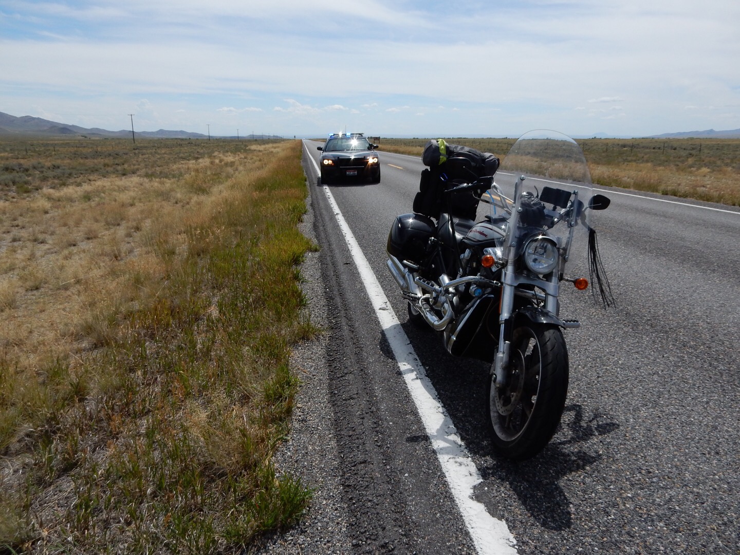
In spite of the citation (why do I only get tickets in Idaho, Oregon, and Montana?), I thoroughly enjoyed (again) my ride along ID28. It’s a bit like US50 through Nevada but it runs parallel to the surrounding mountain ranges instead of over them. You spend your time on the pan looking at the mountains to the left and right… for over 100 miles. It isn’t for everybody, but I love it.
As I approached Salmon, ID, the temperatures were getting hot enough that I had to open the sleeves of my jacket to get some additional cooling. Luckily, (yes, rain can be good luck–even if you’re not a farmer) a few rain clouds were cresting the mountains southwest of Salmon and looked like they may provide some cooling.
Having successfully reach Salmon, I filled the Vector’s tank (third time today already) and guzzled a bottle of Vitamin Water. While I do carry water on tours, I often add some Gatorade, Powerade, or oher enriched fluid substance at gas stops. This is because these products add some carbs and electrolytes that the water I carry doesn’t provide. On hot days, it becomes even more important.
Those rain clouds at Salmon provided the desired cooling rain as I was leaving town to the north on US93. The rain didn’t last more than a few miles and was never all that heavy. Most importantly, it dropped the temperatures down to a place where it was rather comforable.
As I continued up US93, it always seemed like there were dark rain clouds just over the ridge to the west. I was hoping that I could make the pass before the approaching storm front. Lucky for me I succeeded, cresting the pass and heading down into the Bitterroot valley without being struck by lightning or drowned by torential downpours. The downside to this victory was that the farther I got in front of the storm front, the hotter it got.
By the time I reached Lolo, it was nearly 5pm. Not ideal. While I rehydrated with another enriched water product (I forgot which of the 70 available varieties I purchased at this stop), I checked the weather radar and decided that the prospect of some rain over Lolo Pass wasn’t as bad as the 100+ mile detour I would need to take to avoid it. I posted a quick photo of the storm front and pointed the Vector west on US12.
Lolo Pass is a great ride. If you enjoy wheeled travel, whether it be by motorcycle, sports car, bicycle, skateboard, whatever, you need to add Lolo Pass to your bucket list. The pass itself isn’t very high and the vistas, while gorgeous, aren’t overly spectacular. There is wildlife — I saw wild turkeys, grouse, and a cow moose on this trip — but none of it was on the road. The attraction is the road. Heading west through the pass, you follow Lolo Creek up the east side and then pick up the Clearwater River on the west side. You end up following the Clearwater River all the way to the state line at Washington where it meets up with the Snake River at Lewiston, ID / Clarkston, WA. The time on the Clearwater River is wonderful. You’re almost never out of sight of the river and the path winds constantly. It’s not a quite as tight and technical as the Tail-of-the-Dragon in North Carolina / Tennesee. Instead, it weaves along with most corners posted at 35, 40, or 45 mph. These aren’t exactly sweepers, but they aren’t twisty either. If your cornering skills on a motorcycle are in need of work, Lolo Pass is a 100+ mile, two hour training course (and scenic too — bonus). The rain that was threatening to encroach upon my ride through Lolo Pass did materialize, but not so much that it spoiled the fun. Yes, I did have to slow down a bit when cornering on the soaked pavement, but even that didn’t last more than 10 miles. The half-cloudy conditions also succeeded in keeping the late afternoon sun out of my eyes (this plagued me during my last westerly trip through Lolo). I made fairly good time and was towards the end of the curvier portion with the sun still high in the sky.
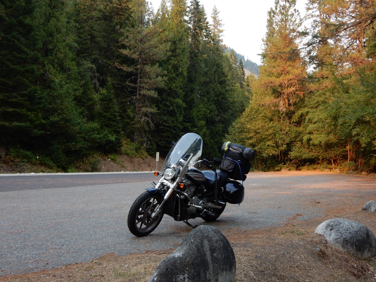
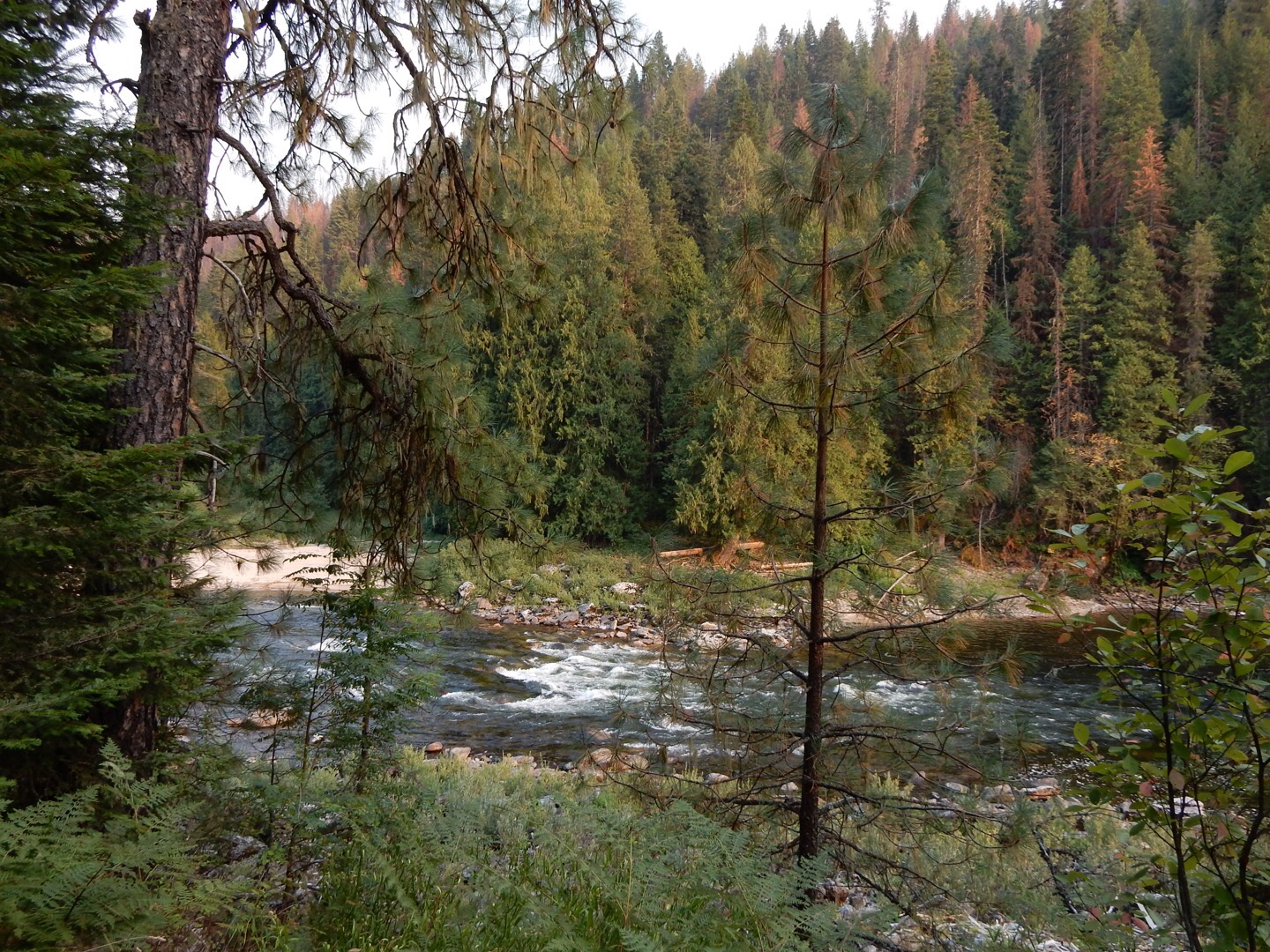
During my decent of Lolo, I expected the hot and humid conditions to relent a bit as the sun got lower in the sky. Instead, it got steadily hotter, peaking in the upper 90s. Just about the time that I was pondering why it so damn hot, I noticed mist hugging the forested walls of the canyon. Hmm, seems a bit hot for mist… unless it’s smoke.
After a few more twists down the Clearwater River valley, it became obvious that I was approaching a wildfire. By the time US 12 curved north at Kooskia, there was a dense cloud of smoke filling the upper third of the river valley. When I arrived, in Kamiah, it was obvious that I had arrived in the middle of the battle.
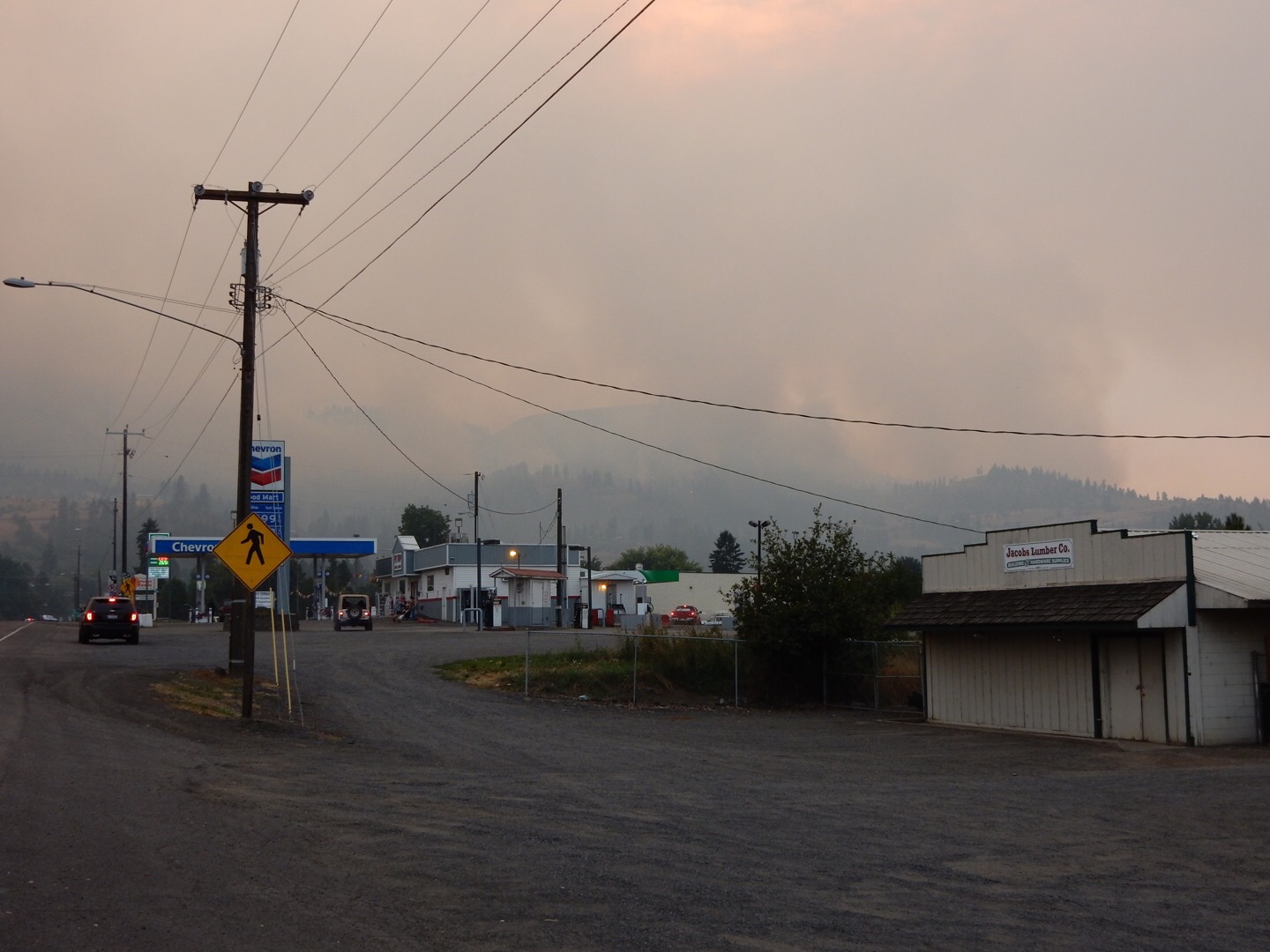
The first wasn’t exactly raging. Only a few of the tall lodgepole pines were ablaze. Most of the fire was limited to the undergrowth. Regardless, all the mountainsides to the west of Kamiah were smoldering with individual pockets of active fire dotting the landscape. Apparently there were some nastier hot spots in the upper elevations and these areas were getting a lot of attention from a sky-crane helicopter tanker that would douse flames on the mountain, swoop down to the river to pick up more water through a giant hose, and then return to the mountain.
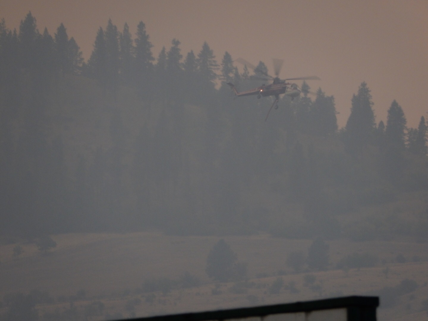
As I passed though Kamiah, it occurred to me that US12 may not be open through the wildfire. Sure enough, about two miles down the road I was stopped at a procession of cars waiting behind some firefighting trucks. After a 15 minute wait, a single truck led us single-file down US12 through the worst of the conditions adjacent to the road. These few miles were surreal. Everywhere above you, the mountainside was smoking. There were even some active regions of fire just off the left shoulder of the road. The pilot truck did a good job of weaving from one shoulder to the over to keep the procession of about a dozen cars away from the worst hazards. Meanwhile, across the river on the other side of the valley, the entire mountainside smoldered with a few acive pockets of fire down near the river and crossng a rail line.
Twenty more miles down the road and there was little visible to indicate the daunting conditions up the valley. I was getting low on fuel and needed to stop at the very town that I originally planned to stop in for the night: Orofino, ID. As I fueled up, I decided that another 40 miles to Lewiston would be easy to do and would add little risk of close encounters with forest creatures since he sun was still visible just over the valley walls. The Vector’s tank filled, I climbed my hot an tired body back on the Bike to ride a little further.
The deer I saw was over 100 yards away and starting to cross the road. This gave me plenty of time to slow down and ponder how maybe, just maybe, I should have just gotten a room in Orofino. Luckily, that was the only critter sighting for the rest of the ride.
After everything that happened today, coupled with the hot conditions, I was not going to pitch a tent tonight. Give me air conditioning! Unfortunatly, the two hotels I checked in Lewiston were both booked. Nonplussed, I crossed the Snake River into Clarkston and found a Motel 6 that was more than happy to take my money and give me a room for the night. As a bonus, a little Italian restaurant was just across the parking lot. After cooling off with a quick shower, I wandered over to the restaurant for a dinner of blackened chicken fettucini alfredo, several glasses of water, and for dessert, a shot of Maker’s Mark.
(chuckle) Full day.

I had totally forgotten about your ride reports on this site. Thank you for taking me along!
Well, it’s easy to forget when I’m not writing as much. For this trip I decided to resurrect some of my old habits.
I have thoroughly enjoyed your descriptions of your travels! Keep it up!