
Last night, I had foolishly reserved a room for this evening in Salida, Colorado, which was almost 500 miles away. I’d better get my ass across the rest of Kansas and up in the mountains.
The pre-ride
The alarm woke me at 8:30am, plenty of time to check the motel’s breakfast offerings, which were to end at 9:30am.
First, however, I compiled a video for the previous day and posted that trip report. Even after this effort, I still had time to check breakfast.
When I arrive, the kitchen was empty and I was eyeing the waffle maker with evil intent. Right about then, the desk attendant, who could see me in the kitchen, said that they were out of waffle mix, though he could make me some more. Alas, I don’t really need the waffle, so I grabbed a yogurt and took it back to my room.
I grabbed a quick shower, donned my gear, packed up the Bike, and started down the road shortly after 10am. Yet another later than ideal start.
The weather was still hot, but the humidity was still low. That made it, at least, tolerable. I just needed to stay hydrated and keep moving.
The morning ride
Heading wast from Hutchinson, Kansas, the scenery was now flatter and more open. Not as much forest, just lines of trees, probably planted to protect the edges of fields from erosion.
I noticed that US50 connects several small towns along its route, but it doesn’t go through them, which is different from many two-lane road that I’ve traveled. I mulled over this and I’ve formed a theory. US50 was a rail line long before it was a US highway. Towns built on rail lines were usually built out from the rail line that delivered good and people to that town. Consequently, the Main Street of the town was often perpendicular to the passing rail line, anchoring one end of the town. Now that US50 serves at the old rail line, it doesn’t go through town but rather by it. In most towns, I noted a Business District sign directing users to a main drag off of US50. Here endeth your useless civil engineering hypothesis of the day.
Dodge City, that subject of many a Western story and movie, lies along US50. Alas, I did not venture into the core of Dodge City, I just drove by on the bypass. I did, however see the Boot Hill Casino, a veritable monument in the wasteland of endless wheat fields. An immense gaudy facade in the middle of nowhere, where hopes go to get crushed by the weight of mathematical odds and where fame gathers dust. I saw a billboard stating that Blue Oyster Cult is playing there later this summer.
I stopped for lunch in the next town west of Dodge City, which is Cimmaron. I was lucky to find the Santa Fe Grill, probably named after the railroad that used to run through town before it became the Burlington Northern Santa Fe, and later just BNSF. The Grill was a nice place. I ordered the special, which was a grilled chicken wrap. They also advertised a new side dish: potato salad; I tried that too. The food was good and I noted that this was the only eatery so far on this trip that played rock instead of country.
The afternoon ride
West of Cimmaron, I finally found the Kansas I expected. Flat endless fields of wheat with an occasional tree, a line of trees, or grain elevator. Oh, that constant wind that I was expecting started to rear it’s ugly head as a nasty gusting cross wind.
With the gusting crosswind, the wind turbulence off the front of oncoming trucks got much worse. The nastiest encounters seemed (after logging many test cases) to be trucks with large solid chrome bumpers trailering livestock. There was something about this combination that developed turbulence that was hell-bent on diverting you into the adjacent wheat field.
Running low on fuel, I stopped for gas in Syracuse. I used this opportunity to wipe several hundred bugs off my windshield. I firmly believe that I’m now public enemy #1 in the insect world.
I ran out of on-board water by the time I reached Las Animas, so I stopped for hydration and ice cream. Strawberry shortcake bar to the rescue. While I consumed my frozen treat, I chatted with a doo-rag-wearing dude driving a Suburban. He asked about the Nightowl and we proceeded to show off our respective bike photos from our smartphones. This was when I noticed that my iPhone has the screen dimmed because it’s running so hot. This is a definite improvement over my previous iPhone that would just shut down with a thermometer image on a non-back-lit screen in this condition. Constant technology improvement at work.
I took this opportunity to post a question to the K1600 forum about a handling issue that the Nightowl is having at lower speeds. I’m wondering if something is getting loose in my front suspension. Luckily, it doesn’t really present at highway speeds… yet.
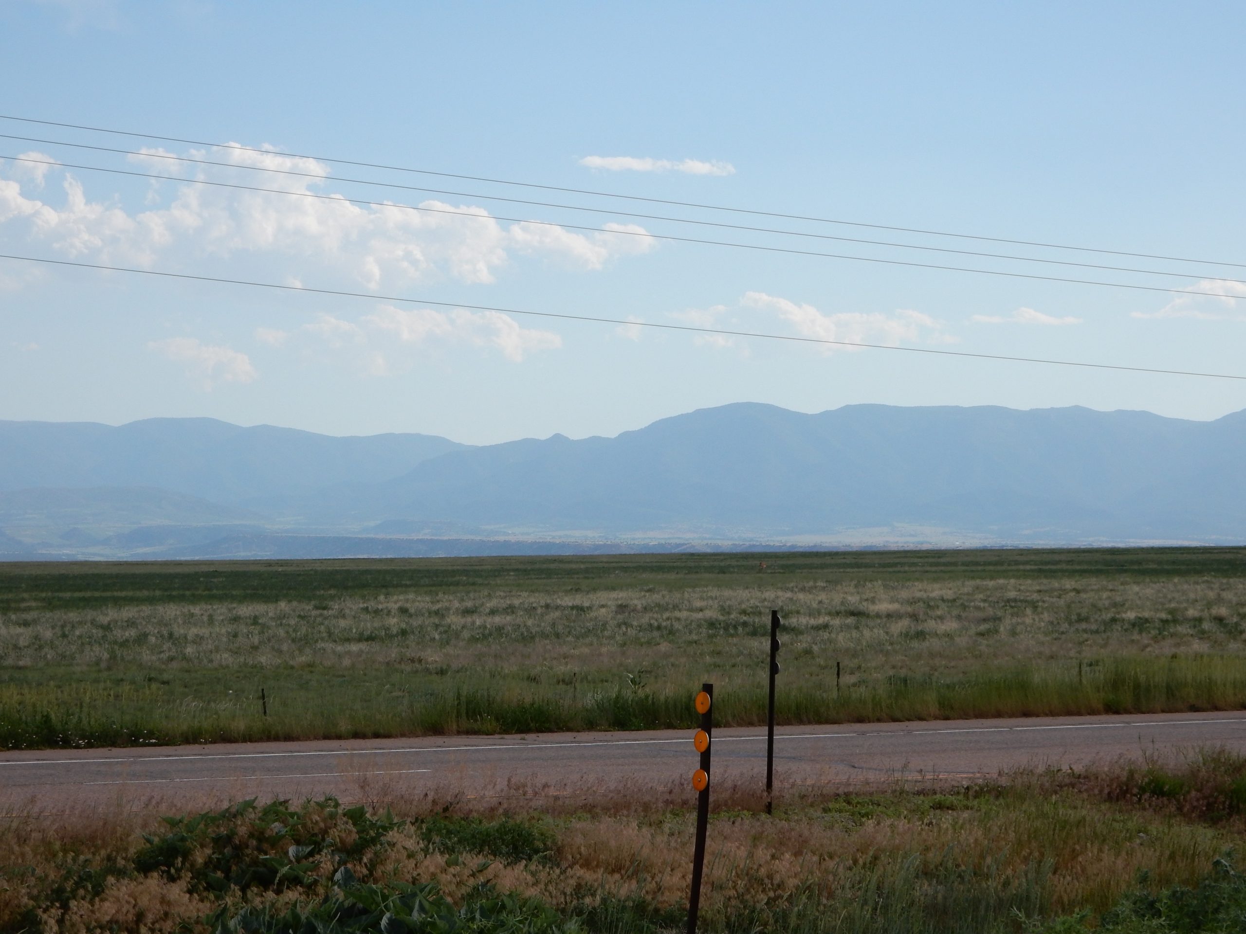
The landscape west of Las Animas got a little more rolling, but only slightly. Perhaps the landscape somehow knows that it’s in Colorado and that the mountains are waiting to the west. I was only about an hour away from Pueblo now, so US50 started to present as a four-lane road more than a two-lane, so I was making better time.
West of La Junta, I was finally able to see the east slope of the Rocky Mountains on the western horizon. With all the heat, the mountains were hiding in the low haze.
It’s been a while since I rode through Pueblo and I was relieved that there’s a bypass now and US50 uses it. Than meant less overheating (me, not the Nightowl) at the countless stoplights through downtown.
The only problem with my arrival in Pueblo was that I had arrived at the tail end of rush hour, which features all the in-town employees making their way home up in the mountains west of town, which is exactly where I was going. Bummer.
As fate would have it, I got caught at what would end up being the last stoplight on the highway leaving Pueblo. That meant I was first up to make a mad dash for the mountains when the light turned green. My pace was a little more wound up than the other commuters, so I had a largely unmolested ride towards the peaks that were now much closer than way out on the horizon.
As is typical near the mountains, there are isolated rain storms. One of them was off to the north. It looked like there was other rain waiting to form from that direction, but I was hoping that my path wouldn’t take me there.
Sunshine on the mountains to my south. 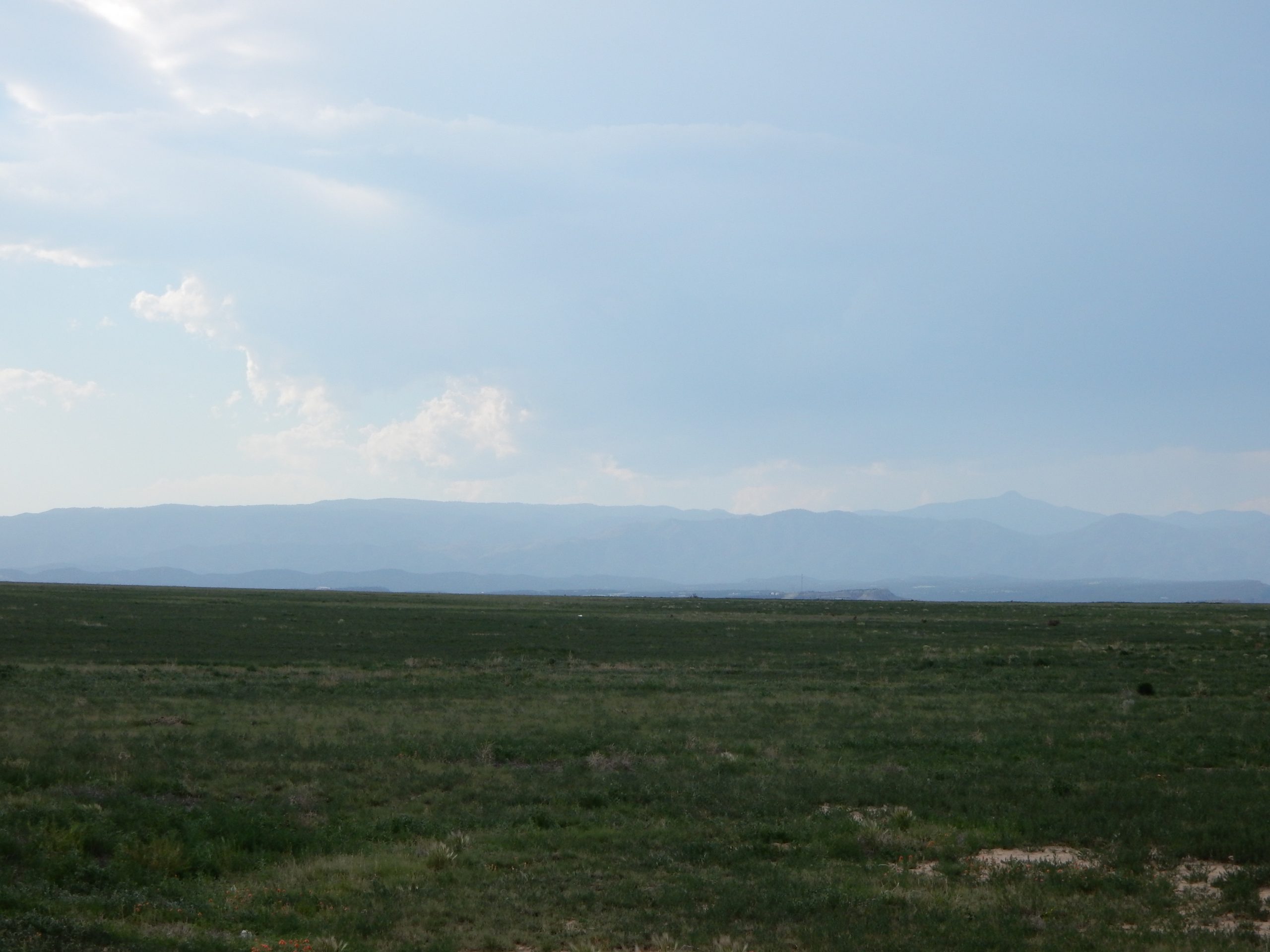
Some rain falling off the mountain range to the north. 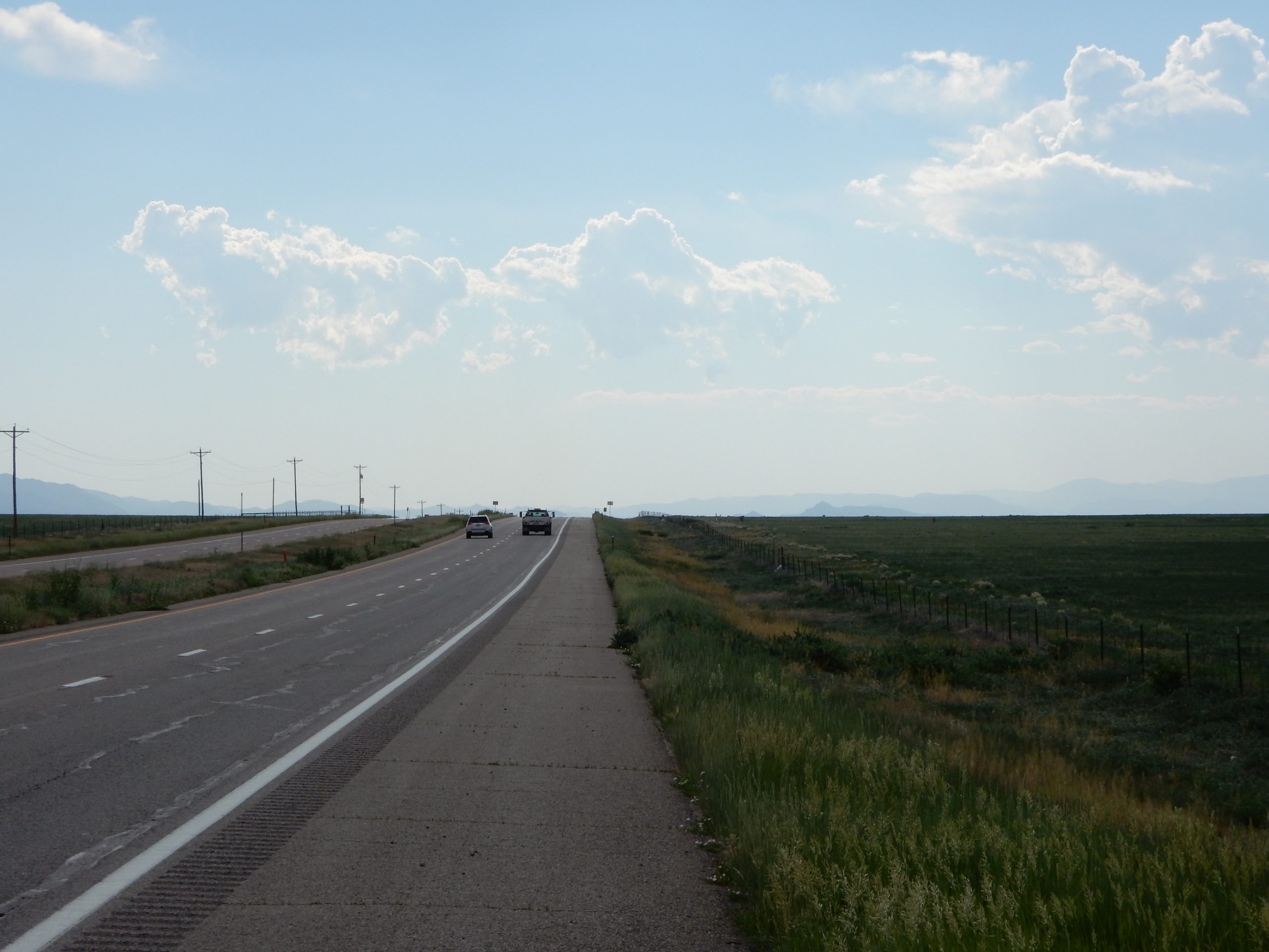
…and I’m going right down the middle between them.
The mountains start in earnest west of Cañon City. Again, I found myself first in line at the last light out of town, so I had a clear shot to ride up the first slopes of mountain roads with no traffic in front of me. Suddenly, slogging across the Great Plains seemed completely worthwhile.
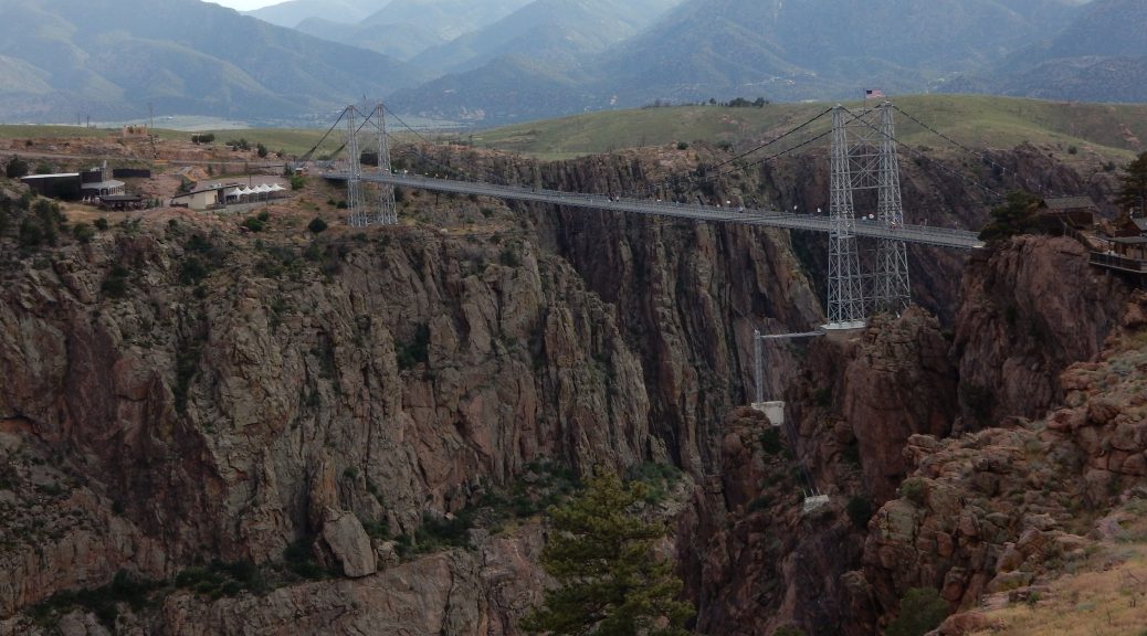
At the top of the first 10 mile ascent, there’s a bit of a tourist trap: Royal Gorge. It’s basically a suspension-style pedestrian-only bridge over the a deep canyon over the Arkansas River. I hadn’t been there in years (perhaps decades) and I was sort of doing OK on time since my current ETA at the motel was 7:30 and they didn’t shut down for check-in until 10pm. So I decided to ride up to the gorge and take a photo.
As late in the day as it was, it was a good time to zip up to the gorge because nobody was heading in that direction on the winding, barely maintained road to the gorge (remember, tourist trap). Consequently, I made great time to cover the four miles to the gorge. It pretty much looked the way I remembered, so I took a photo or two, climbed back on the Nightowl, and headed back to US50.
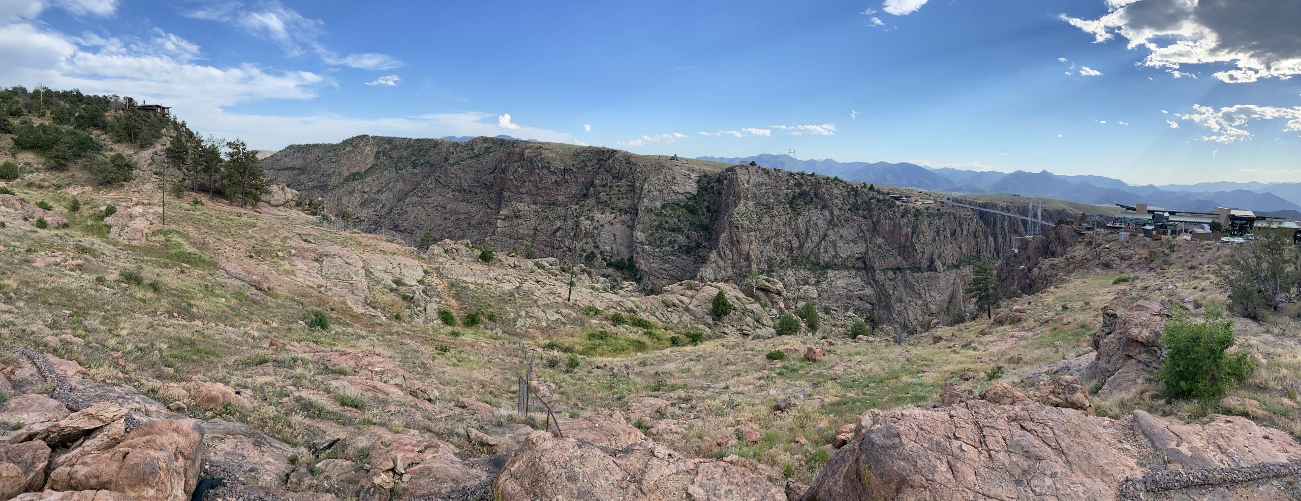
A panoramic look at Royal Gorge. 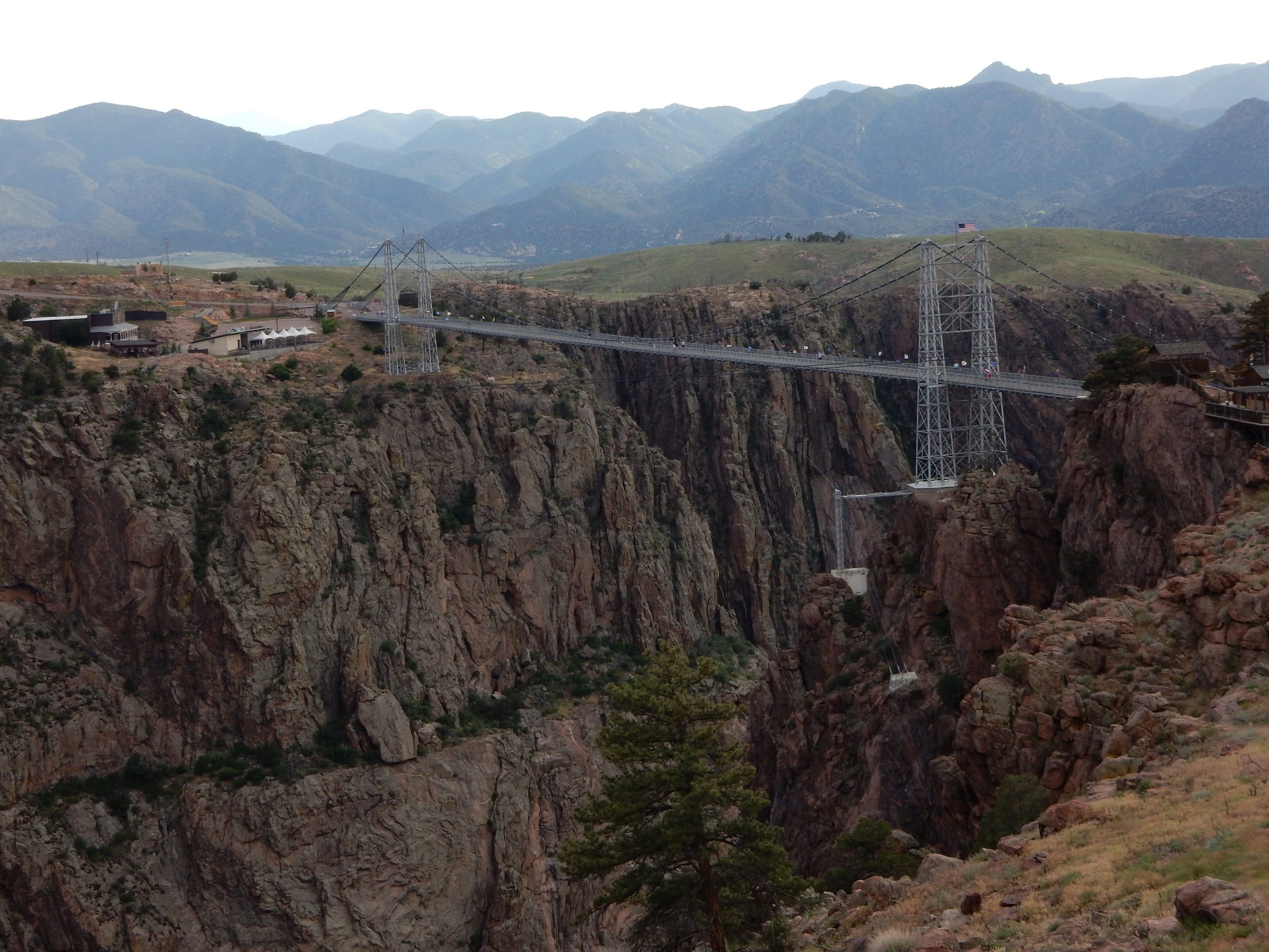
A look at the Royal Gorge bridge from the overlook. 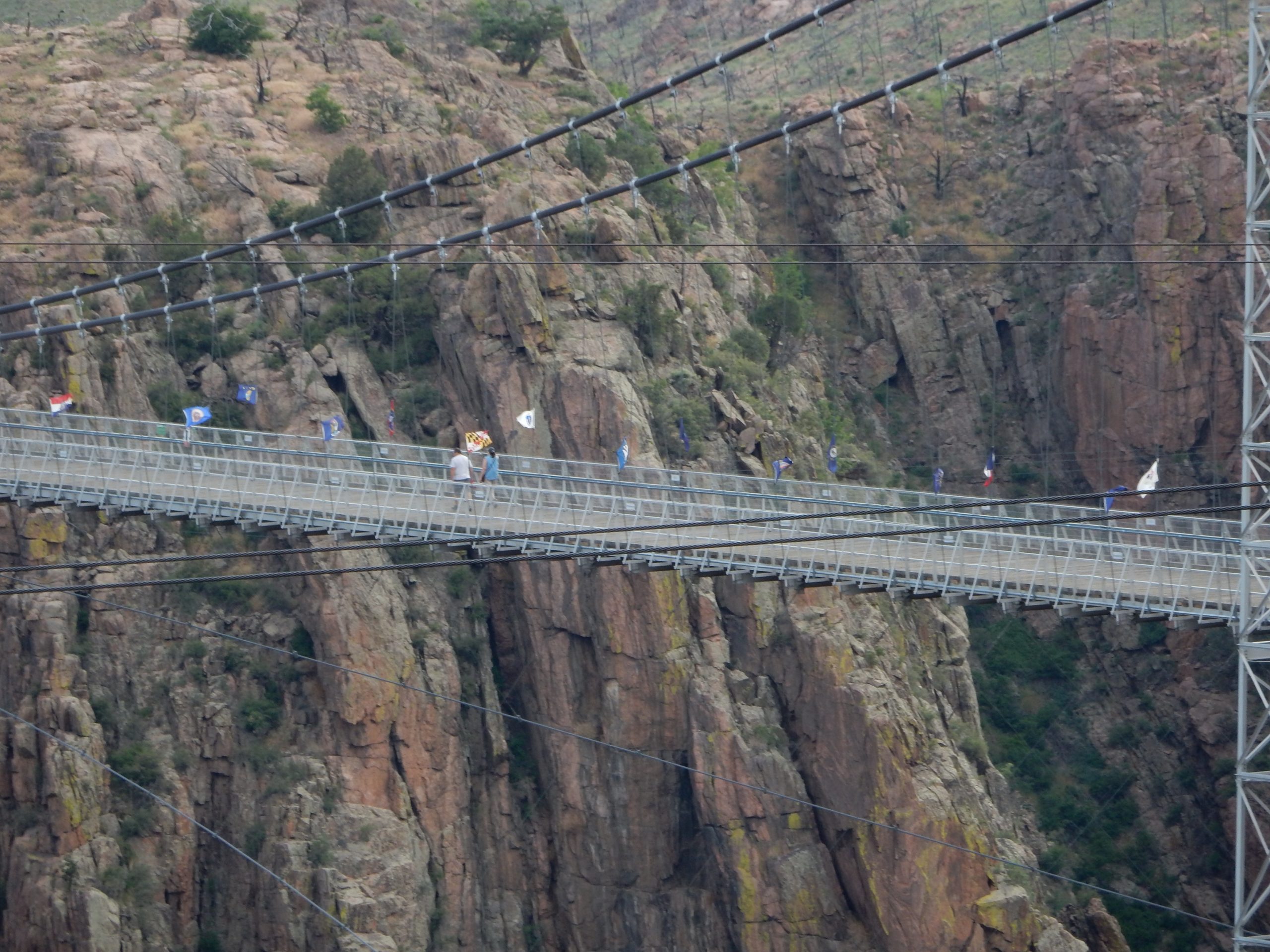
A tight view of the humans on the bridge for scale.
Of course, I wasn’t the only one exiting the gorge at this time, so I had to patiently crawl along behind some other tourists that actually cared about respecting the 30 MPH speed limit.
The rest of the ride up the Arkansas River canyon to Salina was like I was being bathed in magic waters. The road narrowed, the curves got tighter, and the traffic (being late in the day) thinned out. I basically could ride at the pace I wanted (albeit an early-in-the-season re-acclimation pace) and I availed myself of the opportunity. The early evening sun lit all the west-facing slopes in a orange glow while the east-facing slopes hid in cool shadow. I triggered a few video captures along the way; we’ll see if any of them were worth a shit. I was riding into the sun, so some of the footage could be a glare-fest.
Note: Canyon carving into the evening sun is not the best of conditions. You’re constantly riding in and out of bright glare and shadow, which is a challenge to see through, especially if your windshield is covered in 400+ miles of bugs only hastily cleaned off 100 miles ago. So, it wasn’t ideal, but is was still a rush.
Just then my imminent road orgasm was spoiled by a construction zone that sported a mile of one-way road where each direction takes turns being led through by a pilot car.
And I was so close.
As it happened, I completely lucked out. The westward line of cars had just finished being let through when I showed up. The flagman had mercy on me and didn’t make me wait for the next westward cycle (probably requiring a 15 minute delay). I’ll remember to put that guy in my will. The downside is that my last 10 miles to Salina would be stuck between a line of ~40 cars crawling their way up the road. I accepted this unfortunate event with a modicum of grace and resisted the temptation to feverishly nibble away at the line of cars, passing them one or two at a time. It was only another 10 miles to my motel.
<sigh> Restraint. It’s a difficult concept.
I followed Waze’s instructions to my motel, which was kind of a requirement since I’d made the reservation the night before and couldn’t even remember the name of the motel. I turned when the Waze Bitch told me to and then pulled out my iPhone to check my confirmation email to verify that I was sitting in front of the right motel.
I was. Praise Jesus.
Post ride
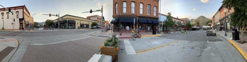
I checked in, unpacked, turned on the air conditioner (not entirely necessary since it’s getting down to 58º (14º C) tonight), and started scoping out a dinner venue. Being a mountain tourist town, Salida has a bustling nightlife in it’s historic downtown area. Rather than pick a restaurant using the Yelp app, I elected to just ride down there and see what I could find.
There were plenty of signs pointing the way to the historic downtown, so it was easy to find. I found a parking spot on the street and headed over to the closed off streets I saw that were reserved for pedestrians only.
It took me all of five minutes to find a brew pub with covered outdoor seating; I chose Currents.
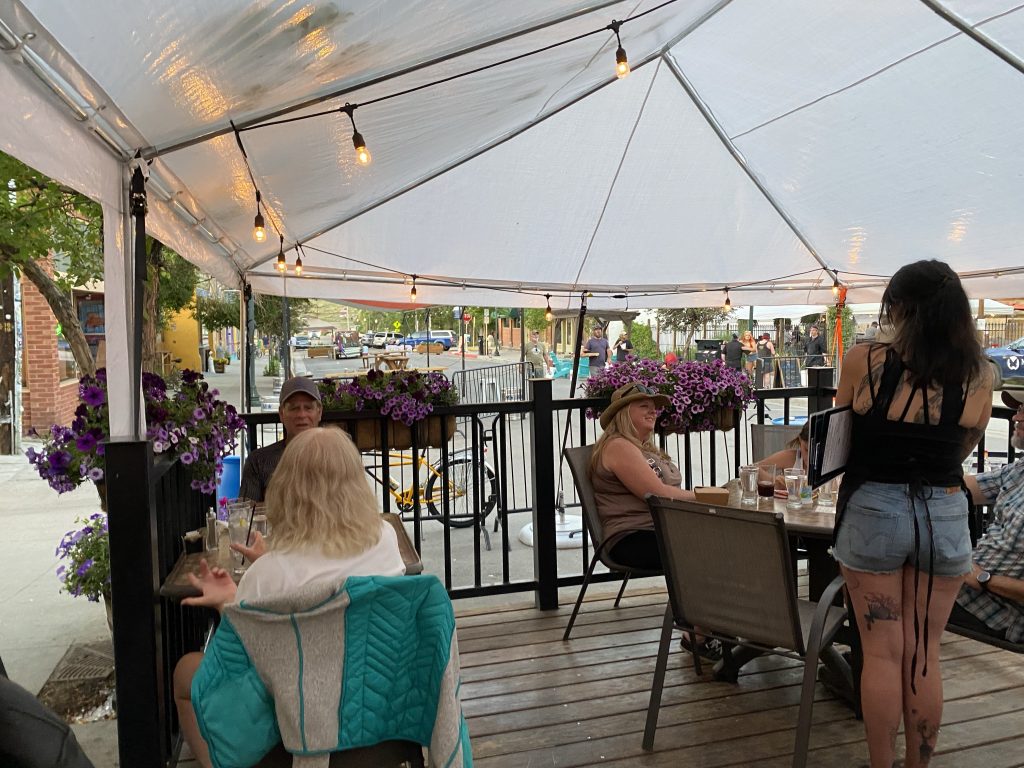
The waitress seated me at an outdoor table and I ordered their version of a smoky Old Fashioned made with locally distilled whiskey. For dinner, I elected to have the special, which was lightly fried sole over garlic mashed potatoes and green beans with a red pepper cream sauce. The drink and the dinner were both excellent. My only nitpick on the drink was they used conventional ice cubes that melt too fast and dilute the spirits. I mentioned this when my waitress offered me another one after I finished dinner. She zipped off only to produce a second Old Fashioned, now with the traditional single oversized ice cube.
I’m totally feeling the love.
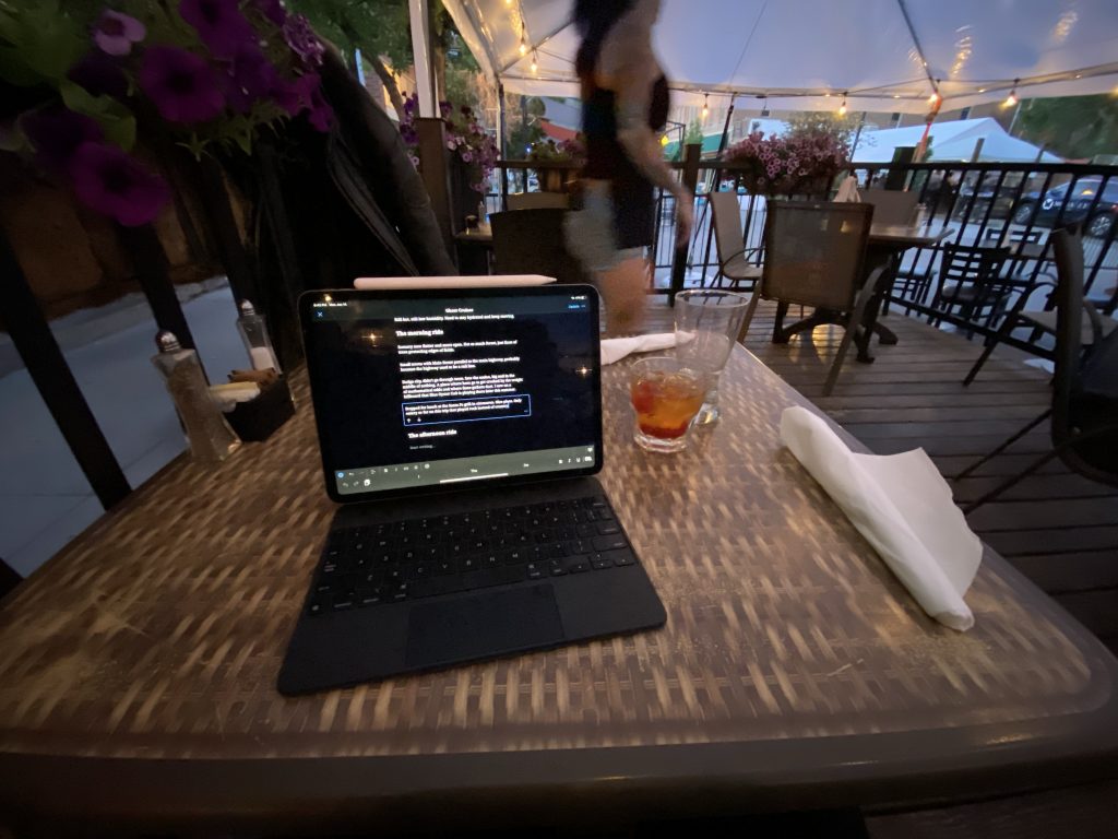
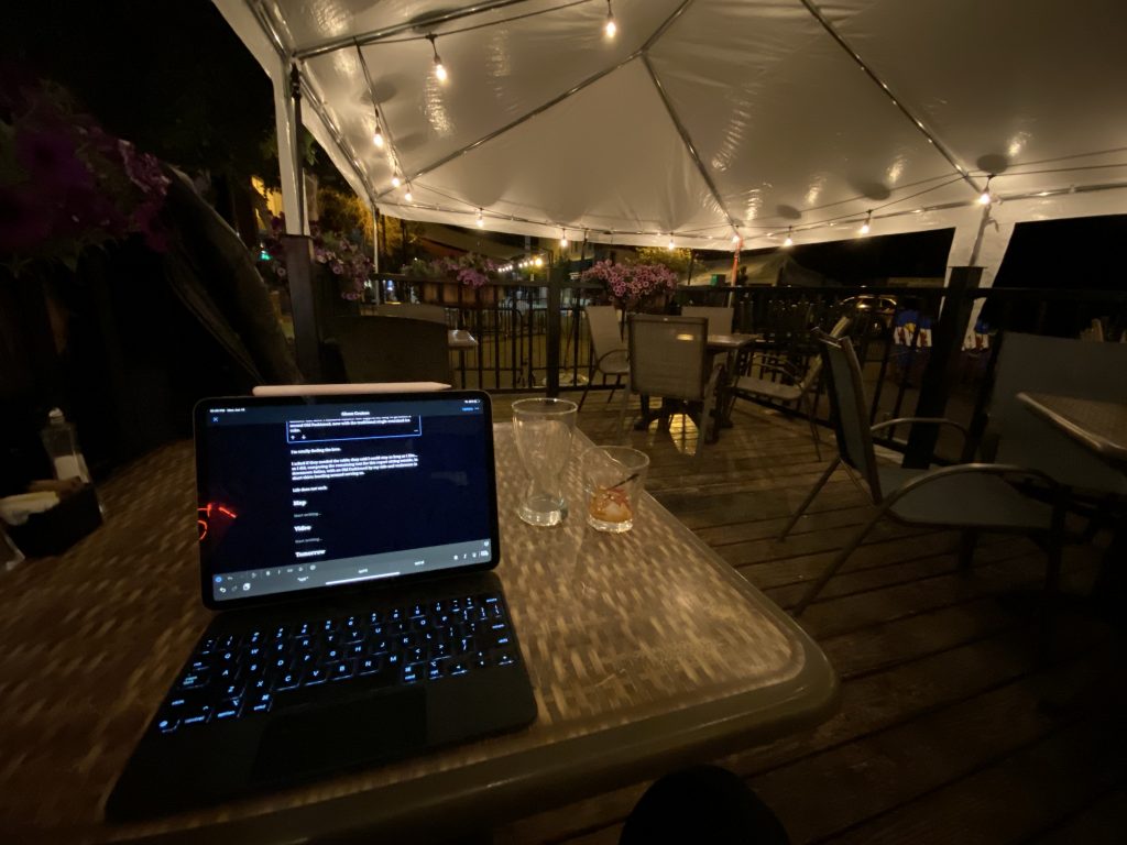
I asked if they needed the table; they said I could stay as long as I like… so I did, composing the remaining text for this report sitting outside, in downtown Salida, with an Old Fashioned by my side and waitresses in short skirts bustling around serving us.
Life does not suck.
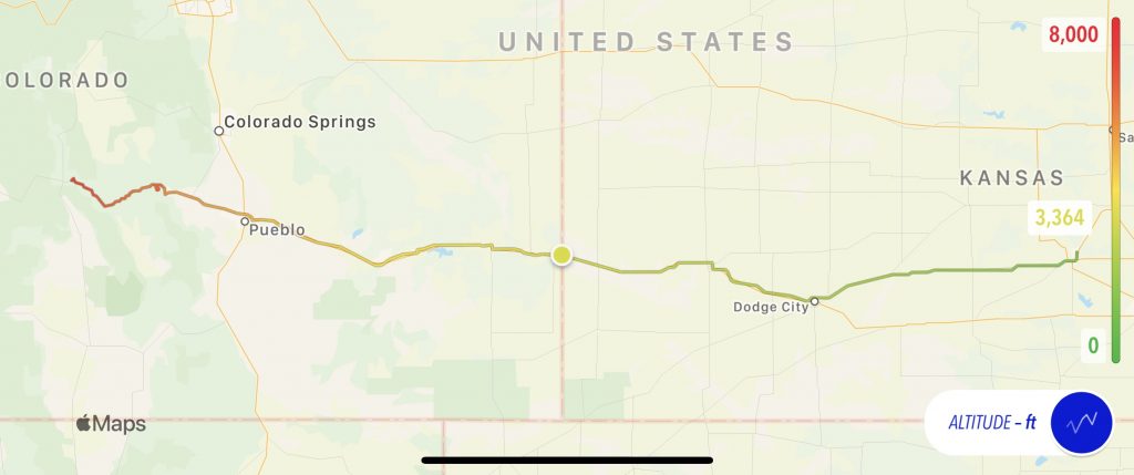
Map
I’d overlaid the day’s elevation readings on the path for today’s map to show that there was a non-trivial increase in altitude.
Video
Tomorrow
I have a special challenge. There’s a portion of US50 between Gunnison and Montrose that’s closed for part of the day for blasting. There are only three windows during the day that they let traffic through, and only one direction at a time. There is a 12:30pm to 1:30pm window that I’m going to try for; it’s about two hours west of Salina.
We’ll see…