
Today I had to drop off Karen for an early flight home. Then I would dash down to some good place to view the solar eclipse, with luck, someplace that wasn’t already a mad house.
Early Start
Karen’s flight left SeaTac airport at 9:40am. If we hoped to give Karen about 90 minutes before departure time to get through airport security and check in at the gate, we would have to leave the Par-Tay venue at about 6:30am. Working backwards from that, giving time to pack up our tent, pack the Bike, and get our gear on, we needed a 5:30am alarm.
Yuck.
Alas, sometimes you just have to do nasty things for the sake of your marriage.
It was already twilight when the alarm went off. We got ourselves dressed and I started packing bags and other camping equipment while Karen ferried the packed bags and motorcycle gear to from the tent to the bike. It was actually pretty efficient.
We offered goodbye’s to the few folk that were already awake, and hit the road at 6:29am. It was mostly cloudy, but still plenty bright to make good time down the road. The downside to the clouds was that the sun wasn’t warming up the landscape; it was only 51ºF when we departed.
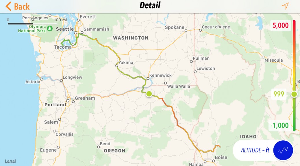
We wound our way through the small peninsula communities in a circuitous route toward WA16 and the Tacoma Narrows bridge. (It’s really two bridges side by side, but who’s picking nits?) Karen dug out the toll for the bridge and we rode through downtown Tacoma, eventually merging onto I5 north.
If there’s a good time to be on the I5, it’s apparently at about 6am on a Sunday. We made fairly good time and even managed to slowly ride past a police car who wasn’t pushing the limit.
The Waze navigation app wanted to save us some distance and routed us on surface streets instead of the easy route up and around the north side of SeaTac on the highways. This time we happily ignored the Waze bitch, eventually shutting it off when it started nagging us about getting back to her original route.
We arrived at the loading area for Karen’s airline at 8:05am, giving her plenty of time to get situated before boarding time.
First mission accomplished.
Eclipse Options
The solar eclipse that was happening tomorrow had a path of totality (for full viewing of the sun’s corona) that bent in an arc from about Portland, OR east to just north of Boise, ID. If I wanted to see the total eclipse in its full glory, I would have to get down to one of these areas.
I already knew that Portland, which much closer, was already a total nightmare since most of the Seattle eclipse watchers had already migrated down there via the I5. A more easterly route towards Boise was definitely a better choice.
The problem with the Boise area was: Where to view?
Ideally, I wanted a high vantage over as wide and scenic a valley as possible. This would afford an opportunity to capture a time-lapse of the fading and brightening of the landscape during the eclipse. The downside was that this seriously limited my options.
My earlier research had set my sights on Stanley, ID. This location would provide the Sawtooth mountains as a nice backdrop for the time-lapse and very likely provide cloudless skies for photos of the sun itself. The downside to Stanley was that to would be nearly impossible to get there today unless I rode well into the evening, which is just asking to have a close personal relationship with one of the many deer, elk, bear, etc. that live in the mountains along the roads to Stanley.
I could, of course, ride as far as possible before the furry-creature witching hour and ride the remainder early the next morning, but that strategy had it’s own problem. There are only two roads leading north into the path of eclipse totality from Boise. Naturally, the morning of the eclipse, these would both be congested. In addition, both roads were mountainous, which means a long line of vehicles stuck behind whoever is driving the slowest. This did not sound like a recipe for success.
I also researched areas in the path of totality west of Boise. There were several towns in that area that were very isolated and would probably be realitively deserted, even on the day of the eclipse. Right?
Wrong.
The towns of Writer and Huntington both had large events planned. Both were selling off 20’x20′ sections of their high school grounds for the three day weekend. (Camping in the middle of a high school football field sounds fun, right?) Of these venues, Huntington was the lesser of the available evils since they were close of the Snake River and a time-lapse of the eclipse over the river could be very nice.
Chasing the Eclipse
As fate would have it, I had to be up very early today anyway. Consequently, after dropping Karen off at the airport, I refueled in the eastern Seattle suburb of Issaquah at 8:30am and was out of the metro-mess soon thereafter and climbing Snoqualmie Pass. I had Waze running and it indicated that I could arrive in Huntington as early as 3:30pm. Perhaps I could reconnoiter Huntington and move on if it looked like it was a total disaster waiting to happen.
The morning chill didn’t subside much as I climbed Snoqualmie. I didn’t have my heated gear on, but I was wearing my flannel over my shirt and I did have the heated grips and seat cranked up a bit. Sometimes, just keeping your hands warm makes the rest of the chill a little more tolerable.
Down the east side of Snoqualmie, the folliage slowly disappears and the arid landscape of eastern Washington takes over. Soon enough, being cold was the last of my problems. I kept going until the Nightowl was low on gas, and pulled off I84 in Pendleton, OR.
I hadn’t charged my phone the previous night, so it was slowly discharging even though the it was plugged in to the Nightowl. (This happens when you have three different apps on the phone all using your location.) I needed power and wifi, and perhaps even some food for myself as well. In a strange town, all of these requirements can easily be met by the necessary evil that is: McDonalds.
I hate eating fast food on the road, but sometimes it fits the bill and this time it fit the bill three times over. The dining area usually has a few electrical outlets in it, so there would be power. All McDonalds restaurants have decent wifi, so there would be a connection to the outside world. Finally, the food there is somewhat edible.
So, there you are.
I walked in with a cell phone, an iPad, an external keyboard, and all my motorcycle gear. I set up shop on one of the high chairs next to a convenient outlet and got to work. I checked weather, which still looked good for tomorrow’s eclipse. I banged out a trip report (I was way behind). I charged the phone so it wouldn’t die this evening while I was (very likely) camping. Oh, and I ate something… but I can’t remember what.
While I was being a vagrant at McDonalds, I decided that it was early enough in the day the I could get past Boise and up into the mountains in the path of the eclipse. I didn’t have time to get all the way to Stanley, but I could get close enough to still make it there the next morning and I would be in front of the excpected masses coming north out of Boise. Almost all of those mountain roads are inside National Forest land, so you can camp just about anywhere. I’ve boondocked out in the forest before, so a night off on some side forest service road wasn’t a daunting proposition. With this new plan in mind, I got my butt back on the refueled Nightowl and we sailed down the highway.
I exited I84 towards New Plymouth and picked up Idaho highway 52 west through the Black Canyon region. I finally intersected one of those two main highways north out of Boise, ID55, in the small town of Horseshoe Bend. The town was already filled with extra camping happening in private yards, business parking lots, and farmer’s fields. It seemed that every flat spot was occupied by a combination of RVs, tents, and porta-potties. I didn’t know when I would be able to fuel the Nightowl again, so I topped off the tank and had a convenience store cheddarwurst for myself. Then it was off to the north on WA55 towards Banks.
Relying on the Kindness of Strangers
After a fun ride up the Payette River valley to Banks, I turned east on the Banks-Lowman highway (I’m not sure if it has a number). The sun was getting low enough in the sky that the higher nearby ridges were throwing the road into shadow. It was already about time for the fuzzy creatures to come out of hiding and start running in front of vehicles, so I needed to find an option in the next 30 minutes or so.
I passed the tiny community of Garden Valley in a wide spot in the river valley (South Fork of the Payette River). Aside from a few homes and farms, the main things I noticed here were:
- Chevron gas station, convenience store, and Subway sub shop.
- A shooting range.
- A small grass-strip airport completely lined with private aircraft with tents pitched next to them. (Flying in to the eclipse? Why didn’t I think of that?)
Just east of Garden Valley was the border for the start of the Boise National Forest. From this point, I could elect to stop at just about any available place that looked like a viable camping site, as long as it wasn’t explicitly posted as not for overnight use. I figured that all the actual National Forest campgrounds would be full, so I was concentrating on forest service side roads where I could possible find a good spot.
A few miles into the National Forest was the Hot Springs campground. It looked pretty full, but I figured I was already within 30 minutes of needing to stop, so I pulled in to discuss options with the campground host. As it happened, the campground host site was occupied but the host was not around. I idlely rode the Nightowl in lazy circles around the parking area looking for available space.
That was when I noticed a group of people at one of the group sites. Not the people exactly, but the one woman in the group who was enthusiastically Waving for me to join them. She certainly didn’t look familiar to me, but I figured it wouldn’t hurt to check it out.
I parked the Nightowl and walked over to the group, all of them with big smiles on their faces. I asked them if they thought they recognized me or were they just luring unsuspecting travelers into some sort of trap. The waving woman, who introduced herself as Helenita, explained that her family had reserved one of the group areas and ended up not bringing enough people to fill it. The campground hosts, sensing a fiscal opportunity, attempted to sell the remaining group space to late arrivals. This had thoroughly infuriated Helenita, who was now determined to claim every wayward traveler as her own and fill her group space, much to the chagrin of the campground hosts.
And so it was that our hero was saved from an uncertain fate by a disagreement between fellow campers. Not wanting to be in the way, I pitched my tent to the far side of the group site so I wasn’t underfoot of the 10 (or so) members of the family that actually were supposed to be there.
I wasn’t all the way to Stanley, but I was certainly within striking distance, depending on how early I wanted to get up tomorrow.
Second mission: kindof accomplished.
The Plan for Tomorrow
I’m not sure…
The Hot Springs campground wouldn’t be such a bad place to view the eclipse. The nearby high ridge, up a steep trail behind the campground, appeared to afford a nice view down into the river valley and could work for the time-lapse. I could still get up early and venture east towards Stanley, but that would mean venturing onto ID21, which was one of those two main northbound arteries into the mountains north of Boise. At the moment, I was in a less-traveled sweet spot. I decided to sleep on it and decide what to do in the morning.